Skip to routes
RunFromHere
Get the app
English
Illustrated panorama of Ghent in white linework.

Ghent

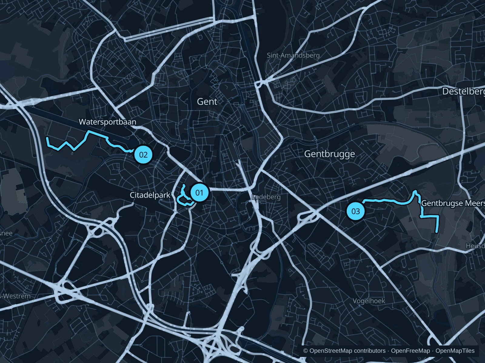
Citadelpark suits a short run near the museums and station. Watersportbaan gives you straight waterside stretches; Gentbrugse Meersen adds open meadows southeast of town.

Get running directions on your phone

Find a route near your hotel

The numbers mark each start. Distances exclude the journey from your accommodation.

Map data: © OpenStreetMap contributors · OpenFreeMap · OpenMapTiles

Where to run in Ghent

Citadelpark

Tree-lined paths weave between museum buildings, lawns and the park slopes.
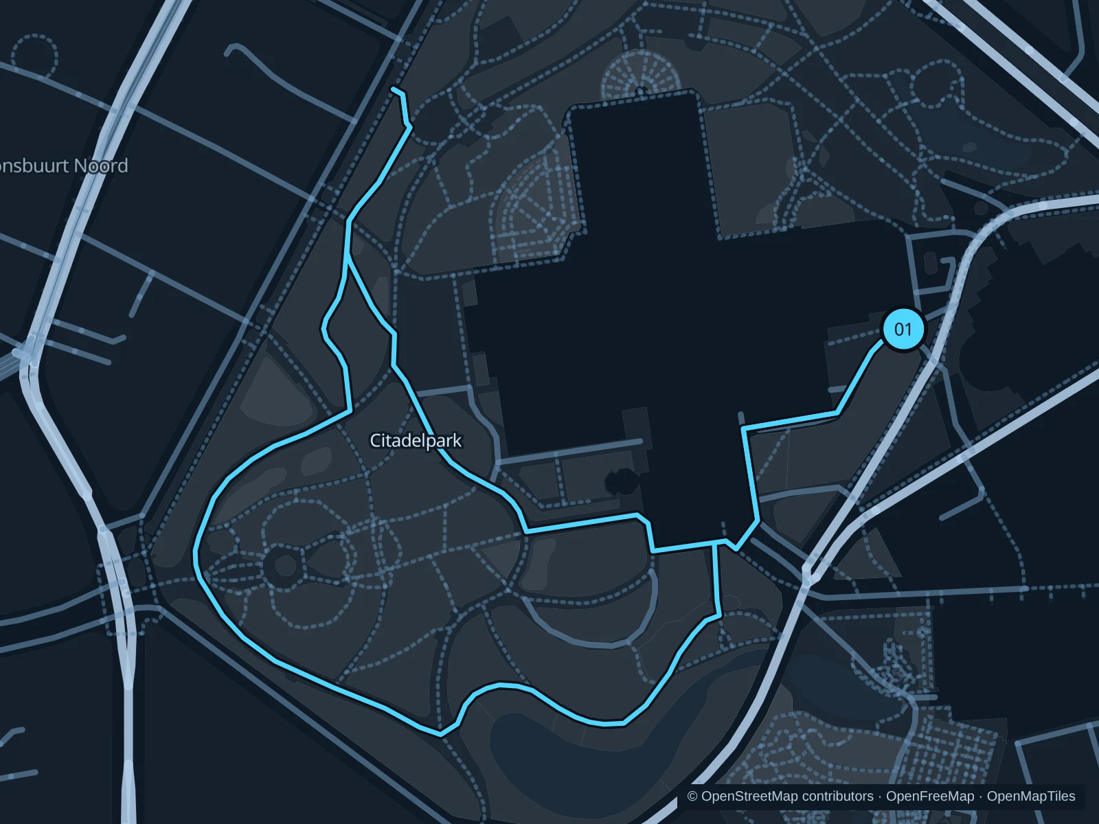
Map of the 1.7 km Citadelpark run, with start and finish marked 01.
01 LoopOpen full-size map
Approx. distance1.7 km
Underfoot

Park paths, paved and unpaved

01

Start here

Park path beside S.M.A.K., Jan Hoetplein.

Circle the western and southern park paths and return past the museums.

Getting there

Walk from Gent-Sint-Pieters via Koningin Astridlaan.

Before you go

This park is not completely flat. Slow down on damp leaves and around museum entrances.

Park / route information

Get running directions on your phone
Watersportbaan

The long rowing basin makes pacing easier, with few changes of direction.

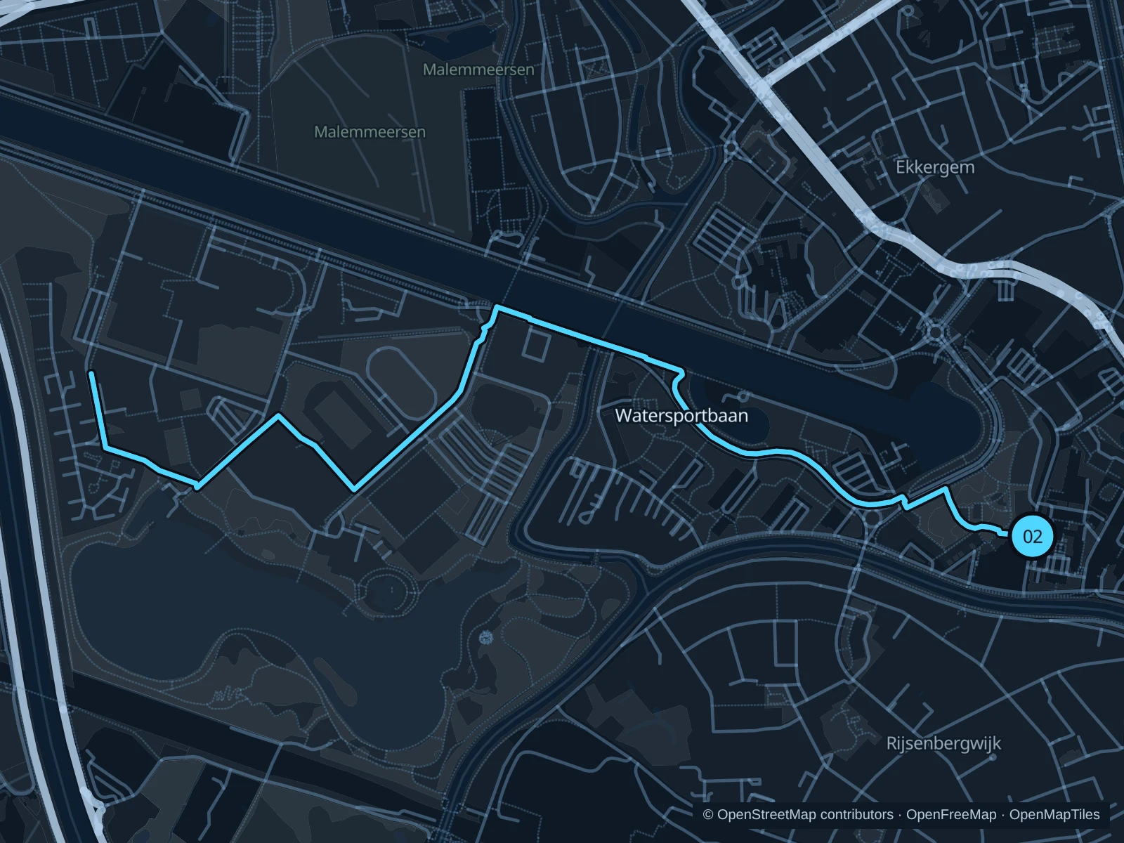
Map of the 5.1 km Watersportbaan run, with start and finish marked 02.
02 Out & backOpen full-size map
Approx. distance5.1 km
Underfoot

Gravel and compacted paths

02

Start here

Eastern basin path by Yachtdreef.

Follow the mapped route towards the western end of Watersportbaan, then return the same way.

Getting there

Approach from Ekkergem via the public Yachtdreef paths.

Before you go

The basin has exposed banks and shared paths. Keep to the running side where marked.

Park / route information

Get running directions on your phone

Gentbrugse Meersen

Meadow paths and Scheldt-side scenery offer a longer outing away from the central quays.

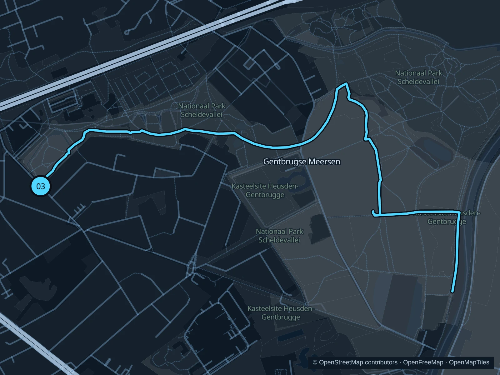
Map of the 5.4 km Gentbrugse Meersen run, with start and finish marked 03.
03 Out & backOpen full-size map
Approx. distance5.4 km
Underfoot

Park paths, paved and unpaved

03

Start here

Rattendalepark path near Braemkasteelstraat.

Follow the meadow paths past the Peace Monument towards the Scheldt, then return.

Getting there

Use local transport to Gentbrugge and walk to Braemkasteelstraat.

Before you go

Use the public gates and walk over cattle grids. Give grazing animals space; meadow paths can be muddy.

Park / route information

Get running directions on your phone

Get running directions on your phone

Choose a distance and start at your hotel. RunFromHere plans a loop back to your door and guides you along it. Download the area’s map before you leave to use it offline.

The app generates its own routes from your chosen start; it doesn’t open the routes in this guide.

More places to run

Sources & route notes

Researched using the official visitor and park sources below; not checked on foot. Maps and GPX files use the same saved OpenStreetMap pedestrian paths. Distances are approximate. Check local notices for access, gate hours and diversions.

Researched