Skip to routes
RunFromHere
Get the app
English
Illustrated panorama of Geneva in white linework.

Geneva

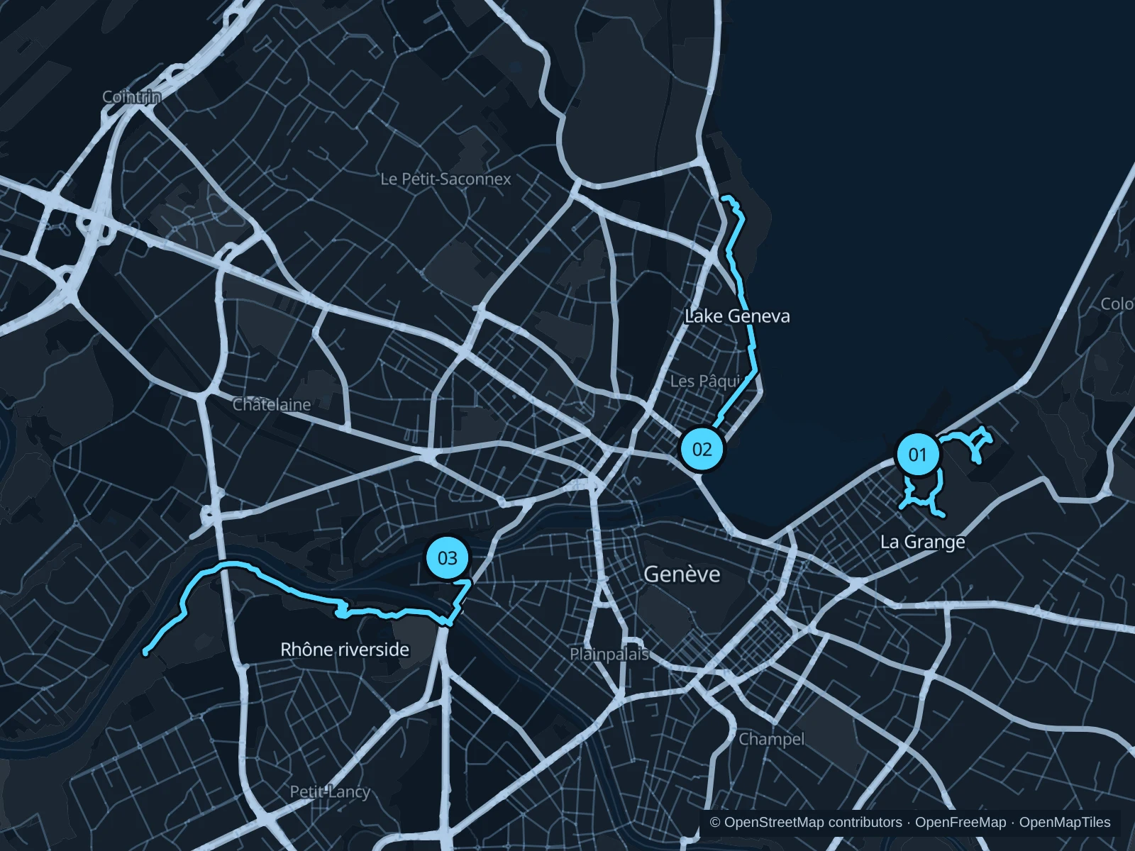
The right-bank lakefront is the easy option from central hotels. La Grange adds a shorter park run on the opposite shore, while the Rhône paths lead west into a more wooded setting.

Get running directions on your phone

Find a route near your hotel

The numbers mark each start. Distances exclude the journey from your accommodation.

Map data: © OpenStreetMap contributors · OpenFreeMap · OpenMapTiles

Where to run in Geneva

Parc La Grange & Eaux-Vives

Lawns rise above the lakeshore, with paths between mature trees and neighboring parkland.
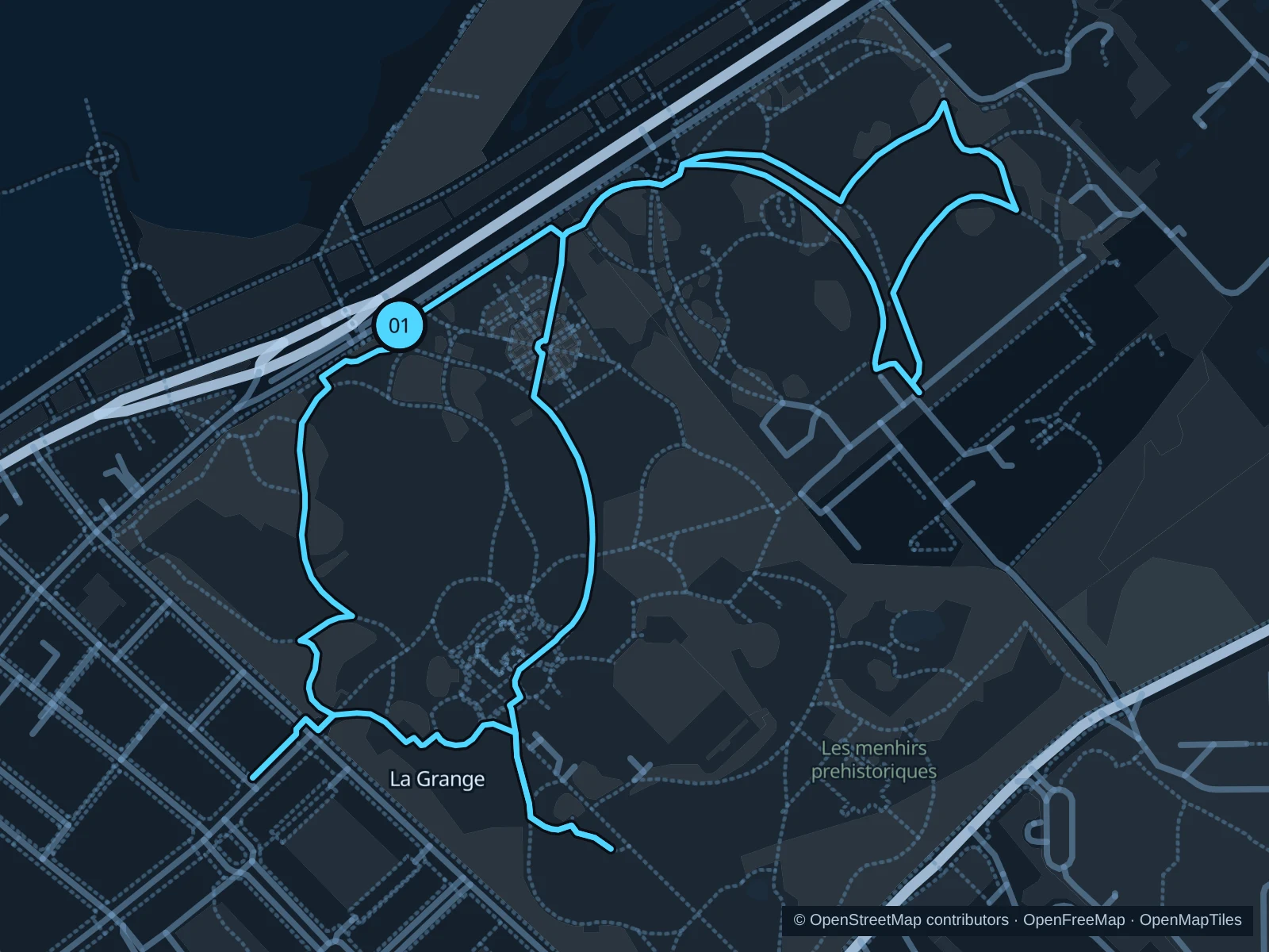
Map of the 2.5 km Parc La Grange & Eaux-Vives run, with start and finish marked 01.
01 LoopOpen full-size map
Approx. distance2.5 km
Underfoot

Park paths, paved and unpaved

01

Start here

Park path inside the Quai Gustave-Ador entrance to Parc La Grange.

Follow the rising park paths into La Grange and Eaux-Vives, returning on the lakeside paths.

Getting there

Walk from Eaux-Vives toward the lake and use the signed park entrance.

Before you go

Park gates and events can affect access. Leave the rose beds and narrow garden paths to walkers. The route includes steps; walk these sections.

Park / route information

Get running directions on your phone
Lakeside · Mont-Blanc to Mon Repos

Lake views and public parks make this the most convenient longer option from the central hotel district.

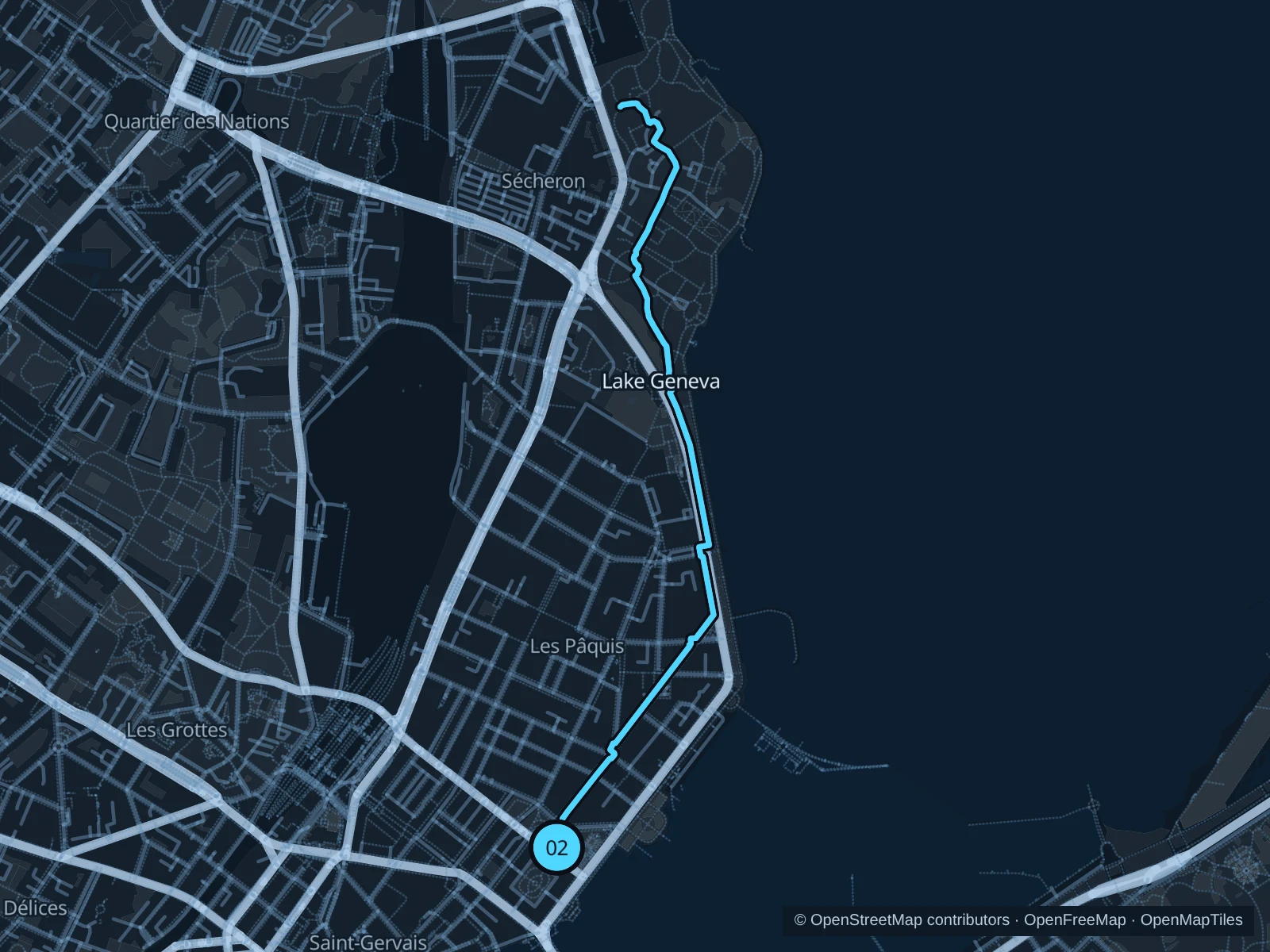
Map of the 3.7 km Lakeside · Mont-Blanc to Mon Repos run, with start and finish marked 02.
02 Out & backOpen full-size map
Approx. distance3.7 km
Underfoot

Paved waterfront paths

02

Start here

Quai du Mont-Blanc promenade near the Rotonde.

Follow the public lakeside paths north past Palais Wilson into Parc Mon Repos, then return the same way.

Getting there

Walk from Cornavin station through Pâquis to the lake.

Before you go

Keep clear of bathing entrances and cycle lanes. The lakefront is exposed to strong winds.

Park / route information

Get running directions on your phone

Rhône · Jonction westward

The river corridor becomes greener beyond the confluence and central quays.

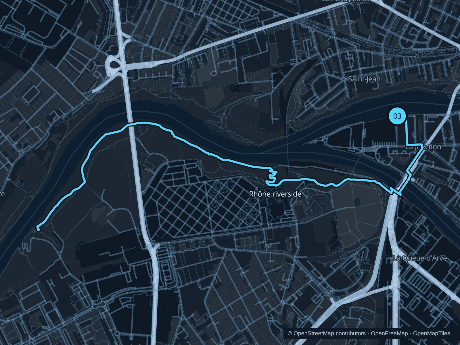
Map of the 6.3 km Rhône · Jonction westward run, with start and finish marked 03.
03 Out & backOpen full-size map
Approx. distance6.3 km
Underfoot

Woodland paths

03

Start here

Sentier des Saules by the Jonction riverside.

Follow the mapped paths and pedestrian bridge toward the Sentier de Saint-Georges woodland paths, then return the same way.

Getting there

Travel to Jonction, then follow the signs toward the river paths.

Before you go

Expect uneven surfaces and changes of level. Go in daylight and respect any closures along the river. The route includes steps; walk these sections.

Park / route information

Get running directions on your phone

Get running directions on your phone

Choose a distance and start at your hotel. RunFromHere plans a loop back to your door and guides you along it. Download the area’s map before you leave to use it offline.

The app generates its own routes from your chosen start; it doesn’t open the routes in this guide.

More places to run

Sources & route notes

Researched using the official visitor and park sources below; not checked on foot. Maps and GPX files use the same saved OpenStreetMap pedestrian paths. Distances are approximate. Check local notices for access, gate hours and diversions.

Researched