Skip to routes
RunFromHere
Get the app
English
Illustrated panorama of Funchal in white linework.

Funchal

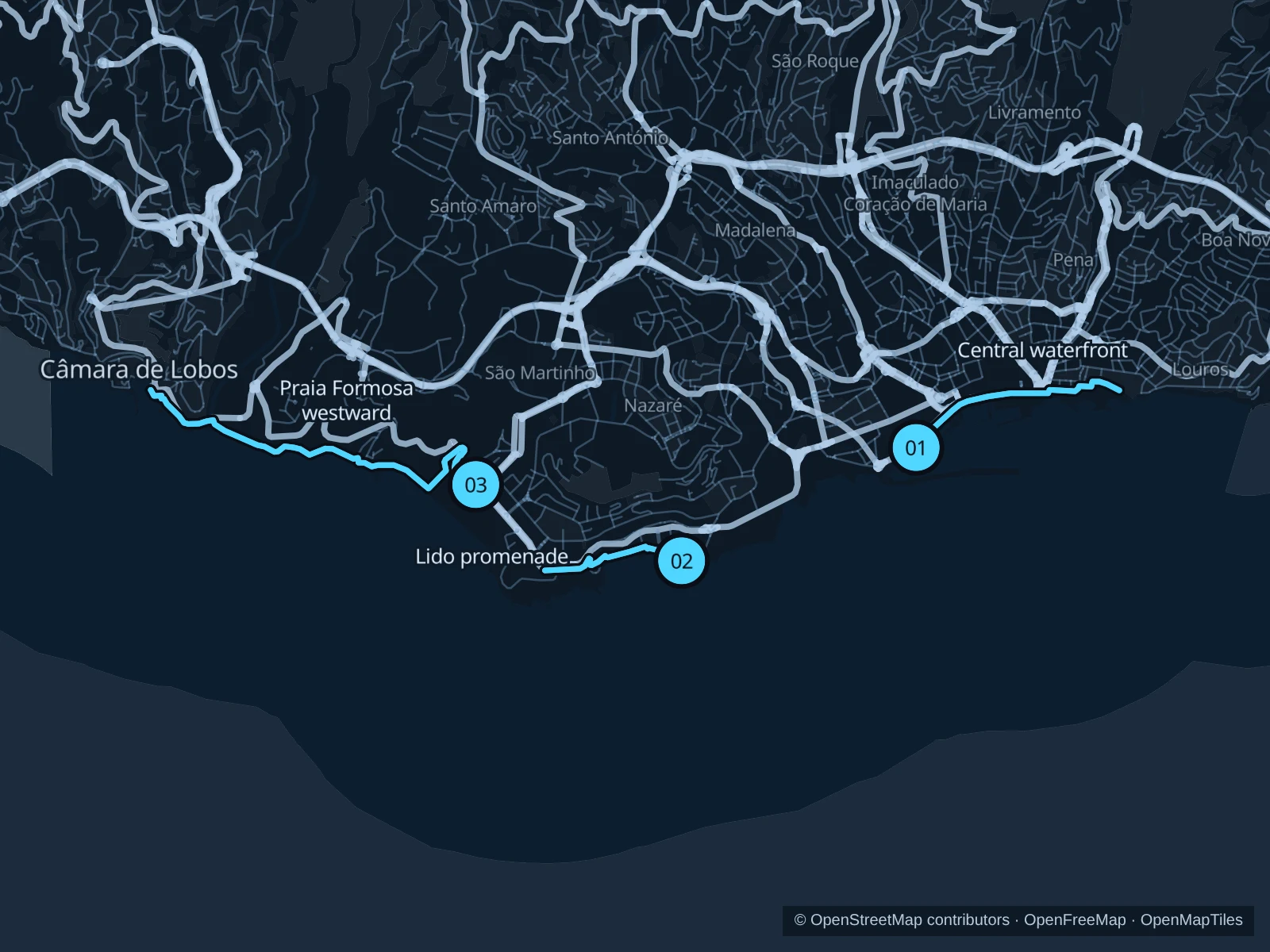
Funchal rises steeply above the bay, but the public seafront paths give you gentler options. Choose the central waterfront, the Lido hotel district or the longer western promenade from Praia Formosa.

Get running directions on your phone

Find a route near your hotel

The numbers mark each start. Distances exclude the journey from your accommodation.

Map data: © OpenStreetMap contributors · OpenFreeMap · OpenMapTiles

Where to run in Funchal

Praça do Povo & central waterfront

An easy-to-reach waterfront outing between the marina and the old-town edge.
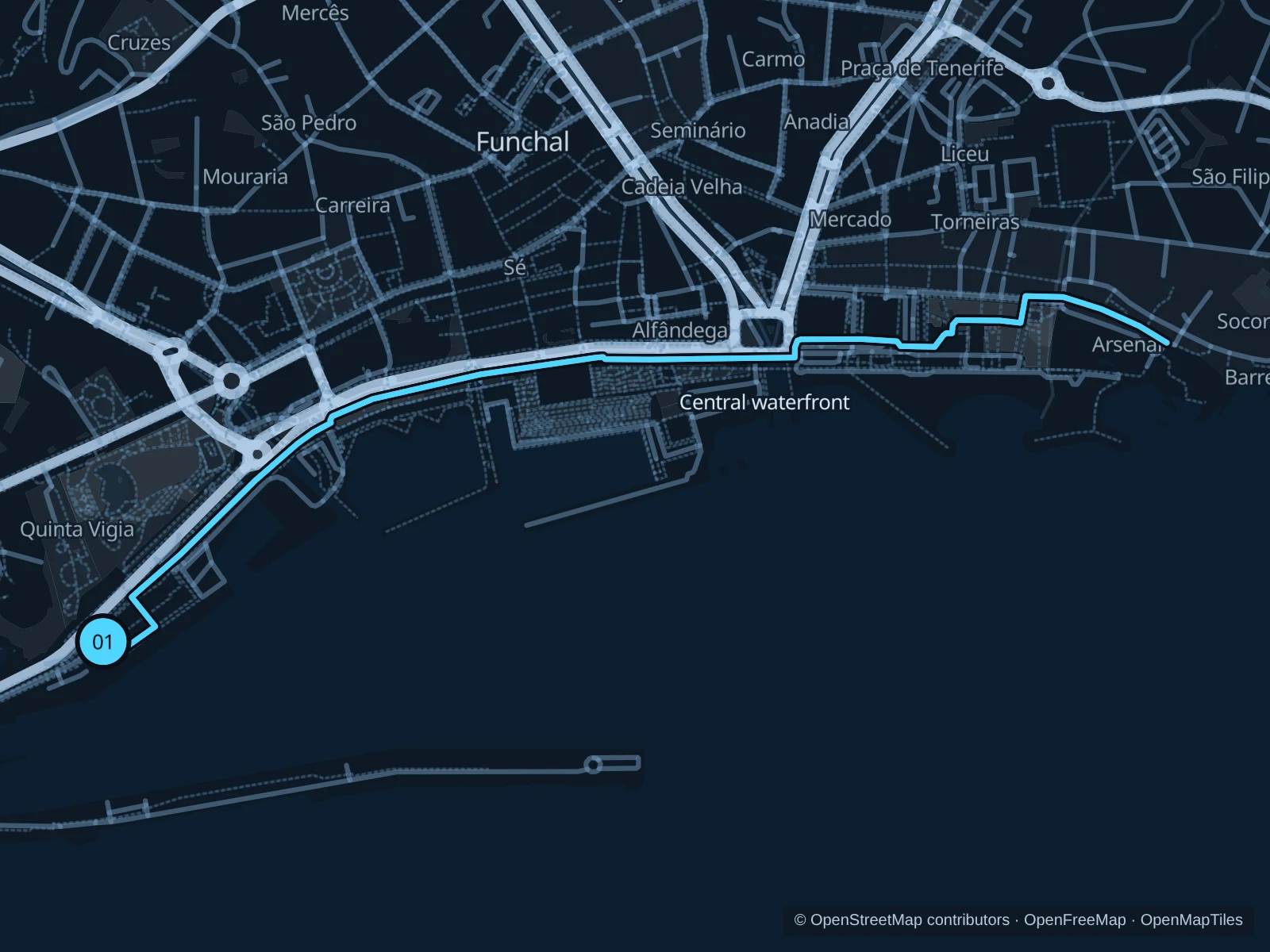
Map of the 3.6 km Praça do Povo & central waterfront run, with start and finish marked 01.
01 Out & backOpen full-size map
Approx. distance3.6 km
Underfoot

Paved paths

01

Start here

Public waterfront path at Praça CR7, outside the marina gates.

Follow the mapped paths toward Praça do Povo and the São Tiago waterfront, then return along the same route.

Getting there

Walk down from Avenida Arriaga to the public seafront.

Before you go

Cruise arrivals and waterfront events can make this busy. Ease off past café terraces and stay out of working port areas. Slow to a walk at gates and barriers.

Park / route information

Get running directions on your phone
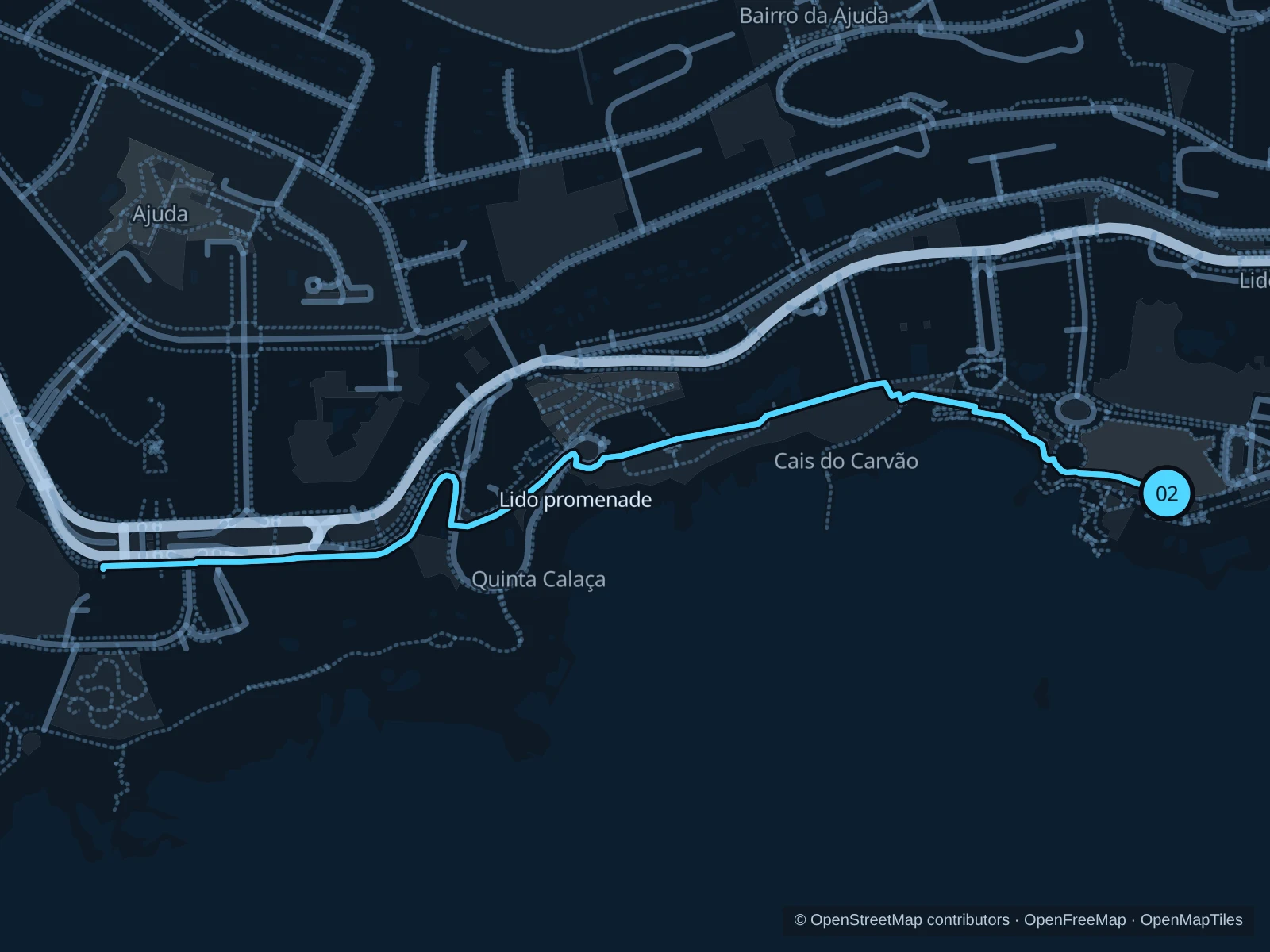
Lido promenade

Ocean views and gardens along the pedestrian promenade west of the Lido.

Map of the 2.4 km Lido promenade run, with start and finish marked 02.
02 Out & backOpen full-size map
Approx. distance2.4 km
Underfoot

Paved paths

02

Start here

Public promenade above the Lido bathing complex.

Follow the mapped paths toward Ponta Gorda and Ponta da Cruz, then return along the same route.

Getting there

From Estrada Monumental walk downhill to the public promenade, without entering the bathing complex.

Before you go

Expect short slopes, steps and shared sections. Turn back at coastal closures; the bathing facilities have separate admission.

Park / route information

Get running directions on your phone

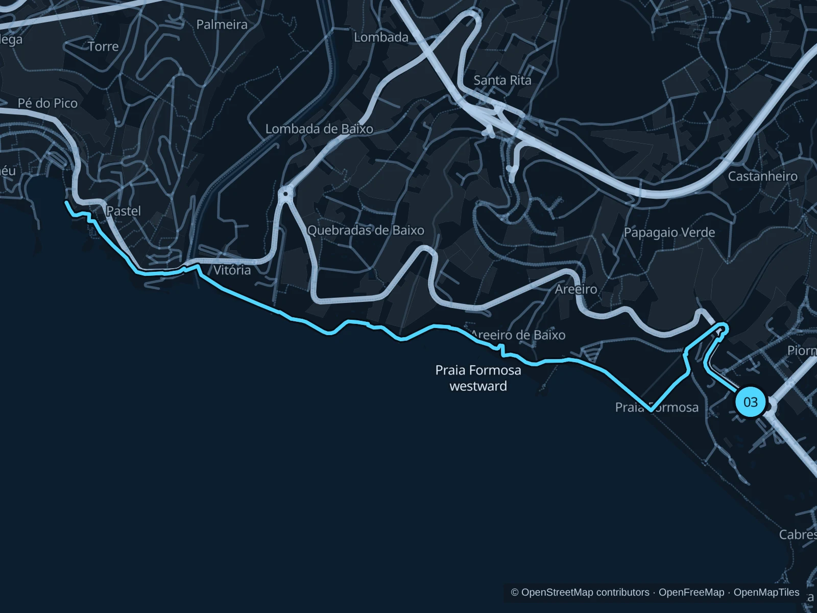
Praia Formosa westward

A longer coastal run towards Câmara de Lobos on the public promenade.

Map of the 6.5 km Praia Formosa westward run, with start and finish marked 03.
03 Out & backOpen full-size map
Approx. distance6.5 km
Underfoot

Paved paths

03

Start here

Public promenade at the eastern end of Praia Formosa.

Follow the mapped paths along the western promenade toward Câmara de Lobos, then return along the same route.

Getting there

Travel to Praia Formosa and use the signed public beach approach.

Before you go

Coastal paths can close after storms or rockfalls. Check signs, avoid breaking waves and turn back instead of bypassing barriers.

Park / route information

Get running directions on your phone

Get running directions on your phone

Choose a distance and start at your hotel. RunFromHere plans a loop back to your door and guides you along it. Download the area’s map before you leave to use it offline.

The app generates its own routes from your chosen start; it doesn’t open the routes in this guide.

More places to run

Parque de Santa Catarina

A central hillside park above the harbor for a short outing with slopes and views; check gate opening hours.

Park / route information

Jardim Municipal

Small paths in the centre suit a warm-up rather than a sustained run; give garden visitors priority.

Park / route information

Sources & route notes

Researched using the official visitor and park sources below; not checked on foot. Maps and GPX files use the same saved OpenStreetMap pedestrian paths. Distances are approximate. Check local notices for access, gate hours and diversions.

Researched