Skip to routes
RunFromHere
Get the app
English
Illustrated panorama of Florence in white linework.

Florence

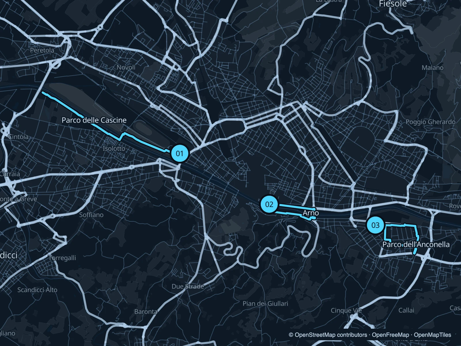
From Florence’s historic centre, follow the Arno east or west. Cascine offers the longest of these three runs through the park west of town. The central route crosses between two bridges, while Anconella suits a stay east of the centre.

Get running directions on your phone

Find a route near your hotel

The numbers mark each start. Distances exclude the journey from your accommodation.

Map data: © OpenStreetMap contributors · OpenFreeMap · OpenMapTiles

Where to run in Florence

Parco delle Cascine

A long green strip beside the Arno, away from the central museum queues. The out-and-back follows the river side of the park.
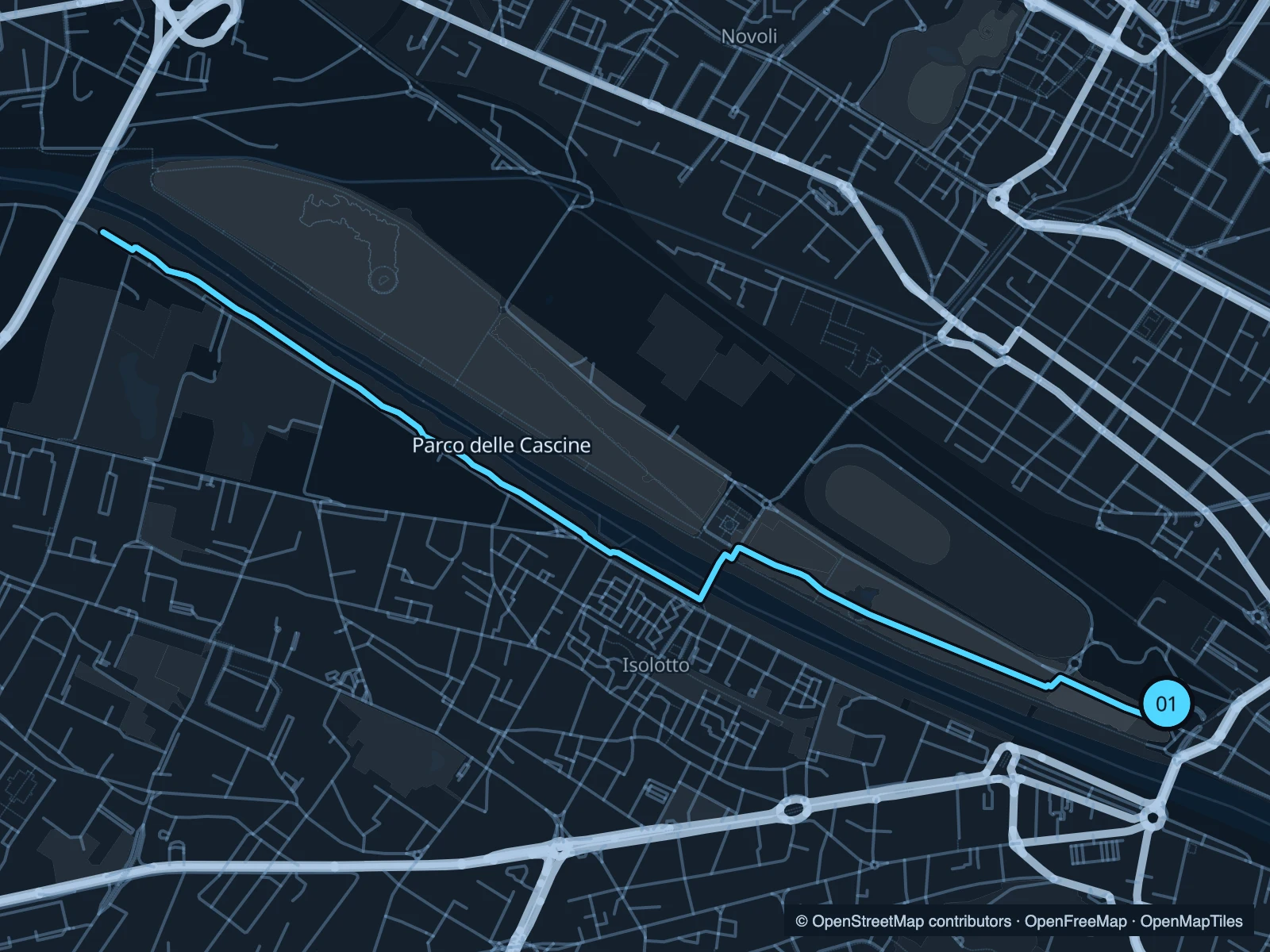
Map of the 7.2 km Parco delle Cascine run, with start and finish marked 01.
01 Out & backOpen full-size map
Approx. distance7.2 km
Underfoot

Paved and mixed riverside paths

01

Start here

At the eastern park approach near Piazza Vittorio Veneto.

Follow the park west along the Arno and return from the marked turnaround.

Getting there

Walk from Porta al Prato or the Cascine transport stops towards the river.

Before you go

Give cyclists room on shared sections and follow any event diversions through the park.

Park / route information

Get running directions on your phone
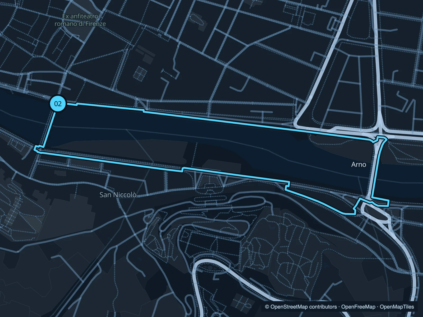
Arno · Ponte alle Grazie circuit

A compact city run along both banks of the Arno, using the bridges east of Ponte Vecchio.

Map of the 2.7 km Arno · Ponte alle Grazie circuit run, with start and finish marked 02.
02 LoopOpen full-size map
Approx. distance2.7 km
Underfoot

Paved embankments and bridge pavements

02

Start here

At the northern end of Ponte alle Grazie.

Follow the north bank east, cross at Ponte San Niccolò and return on the south bank to Ponte alle Grazie.

Getting there

Walk from Santa Croce towards the river.

Before you go

There are road crossings and busy pavements. The bridges are part of the run, so do not expect uninterrupted training.

Park / route information

Get running directions on your phone

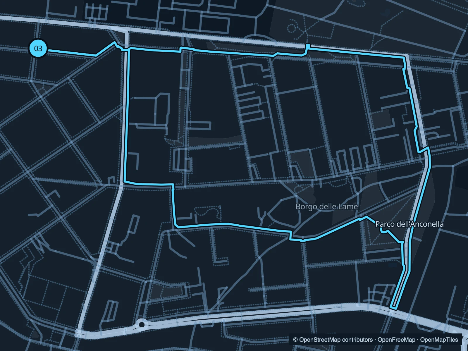
Parco dell’Anconella

A neighbourhood park on the south bank, with riverside paths and open recreation areas.

Map of the 3.2 km Parco dell’Anconella run, with start and finish marked 03.
03 LoopOpen full-size map
Approx. distance3.2 km
Underfoot

Paved and mixed park paths

03

Start here

At the western park approach from Via Villamagna.

Loop east along the park and return through the southern paths.

Getting there

Walk from Gavinana towards the south-bank park entrances.

Before you go

Stay on public paths around sports grounds. Some sections are shared with bicycles.

Park / route information

Get running directions on your phone

Get running directions on your phone

Choose a distance and start at your hotel. RunFromHere plans a loop back to your door and guides you along it. Download the area’s map before you leave to use it offline.

The app generates its own routes from your chosen start; it doesn’t open the routes in this guide.

More places to run

Sources & route notes

Researched using the official visitor and park sources below; not checked on foot. Maps and GPX files use the same saved OpenStreetMap pedestrian paths. Distances are approximate. Check local notices for access, gate hours and diversions.

Researched