Skip to routes
RunFromHere
Get the app
English
Illustrated panorama of Edinburgh in white linework.

Edinburgh

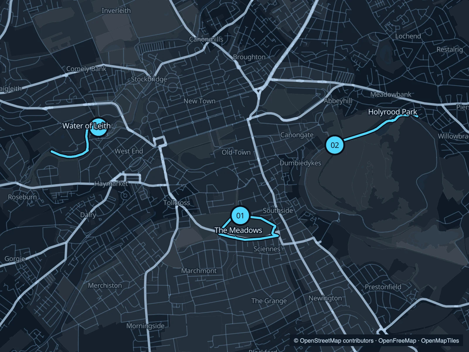
The Meadows offers a short run close to the Old Town. Holyrood Park brings the hills into view without requiring a summit climb, while the Water of Leith gives you a wooded riverside stretch from Dean Village. Allow extra time for Edinburgh’s slopes on the way to your start.

Get running directions on your phone

Find a route near your hotel

The numbers mark each start. Distances exclude the journey from your accommodation.

Map data: © OpenStreetMap contributors · OpenFreeMap · OpenMapTiles

Where to run in Edinburgh

The Meadows

An open park circuit just south of the university quarter. A short lap fits neatly around a day in the Old Town.
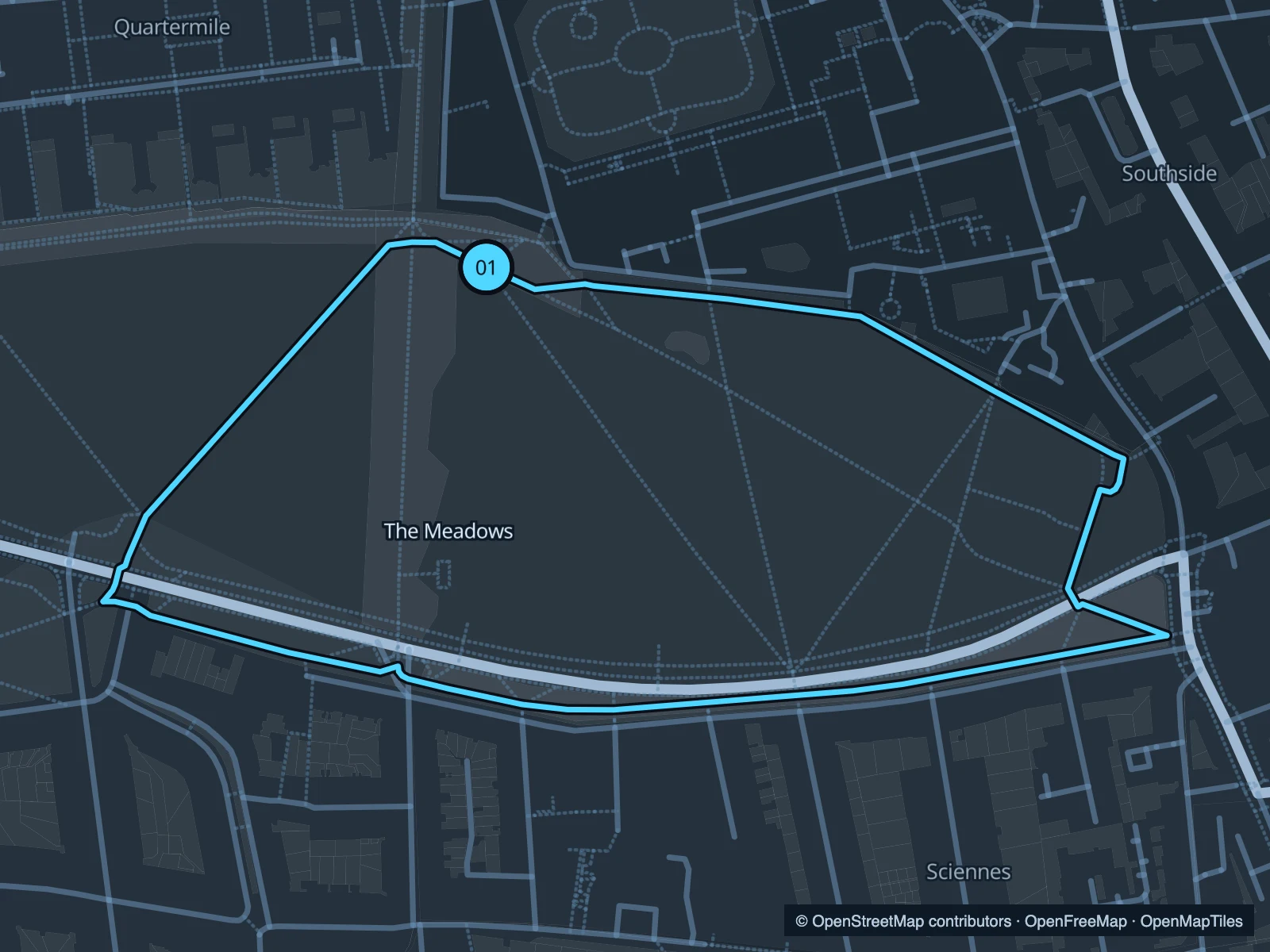
Map of the 1.8 km The Meadows run, with start and finish marked 01.
01 LoopOpen full-size map
Approx. distance1.8 km
Underfoot

Paved park paths

01

Start here

On North Meadow Walk near the Middle Meadow Walk junction.

Loop through the eastern and southern park paths and return along the northern side.

Getting there

Walk south from the Old Town through the university area.

Before you go

The paths carry walking and cycling traffic. Take care at crossings and after rain or frost.

Park / route information

Get running directions on your phone
Holyrood Park · St Margaret’s Loch

A lower-level run on the northern side of the park, with the crags above and St Margaret’s Loch ahead.

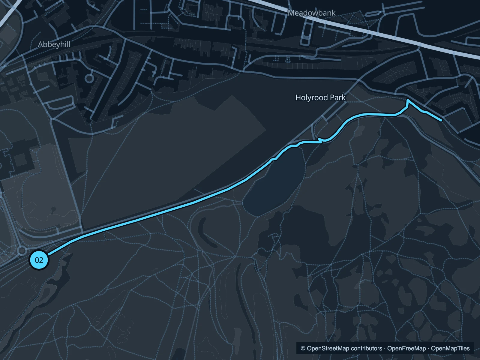
Map of the 2.4 km Holyrood Park · St Margaret’s Loch run, with start and finish marked 02.
02 Out & backOpen full-size map
Approx. distance2.4 km
Underfoot

Park paths and roadside paths; some uneven ground

02

Start here

At the northern park approach near Holyrood Palace.

Follow the lower northern paths east towards St Margaret’s Loch, then return.

Getting there

Walk down the Royal Mile towards Holyrood and the public park entrance.

Before you go

Check the park’s current access notices. This route avoids the summit and the closed Radical Road; do not follow a barriered path.

Park / route information

Get running directions on your phone

Water of Leith · Dean Village

Trees, stone buildings and a river below the city streets. This short out-and-back heads upstream from Dean Village.

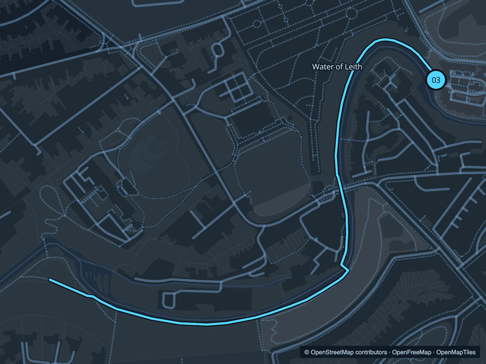
Map of the 2.0 km Water of Leith · Dean Village run, with start and finish marked 03.
03 Out & backOpen full-size map
Approx. distance2.0 km
Underfoot

Mixed riverside paths; uneven or muddy sections

03

Start here

On the riverside walkway at Dean Village.

Follow the public walkway upstream towards Roseburn, then return to the village.

Getting there

Walk down to Dean Village from the West End or Queensferry Road.

Before you go

Check diversion signs before entering the walkway. Narrow or muddy sections may be better walked.

Park / route information

Get running directions on your phone

Get running directions on your phone

Choose a distance and start at your hotel. RunFromHere plans a loop back to your door and guides you along it. Download the area’s map before you leave to use it offline.

The app generates its own routes from your chosen start; it doesn’t open the routes in this guide.

More places to run

Holyrood’s higher paths

Plan a separate hill outing if you want more climbing; the terrain and effort differ from the lower route shown here.

Park / route information

Sources & route notes

Researched using the official visitor and park sources below; not checked on foot. Maps and GPX files use the same saved OpenStreetMap pedestrian paths. Distances are approximate. Check local notices for access, gate hours and diversions.

Researched