Skip to routes
RunFromHere
Get the app
English
Illustrated panorama of Dubai in white linework.

Dubai

Dubai’s most practical runs for visitors follow the water: the beach at Jumeirah, the towers around Dubai Marina and the newer canal near Safa Park. Plan around the heat and pick a route you can easily cut short.

Get running directions on your phone

Find a route near your hotel

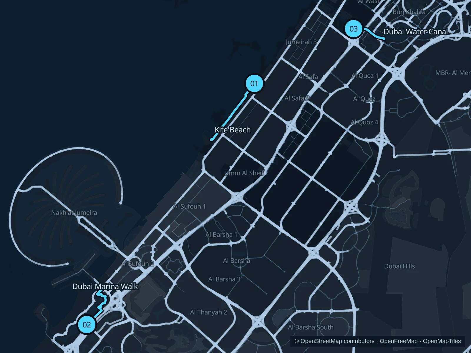
The numbers mark each start. Distances exclude the journey from your accommodation.

Map data: © OpenStreetMap contributors · OpenFreeMap · OpenMapTiles

Where to run in Dubai

Kite Beach

A longer open-coast run with beach activity on one side and the Gulf on the other.
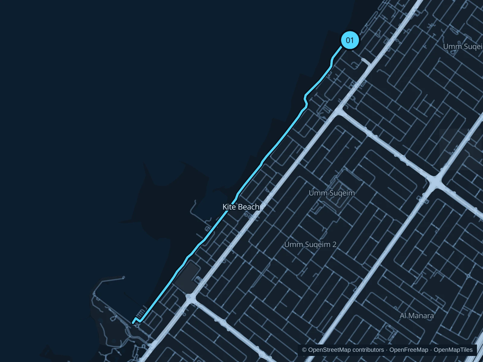
Map of the 6.1 km Kite Beach run, with start and finish marked 01.
01 Out & backOpen full-size map
Approx. distance6.1 km
Underfoot

Paved pedestrian paths

01

Start here

On the public promenade at Kite Beach, beside the main food kiosks.

Follow the Kite Beach path to Umm Suqeim public beach, then return the same way.

Getting there

Walk from the Kite Beach bus stops on Jumeirah Beach Road to the signed public path.

Before you go

Use the running path rather than soft sand; avoid the hottest hours and carry water.

Park / route information

Get running directions on your phone
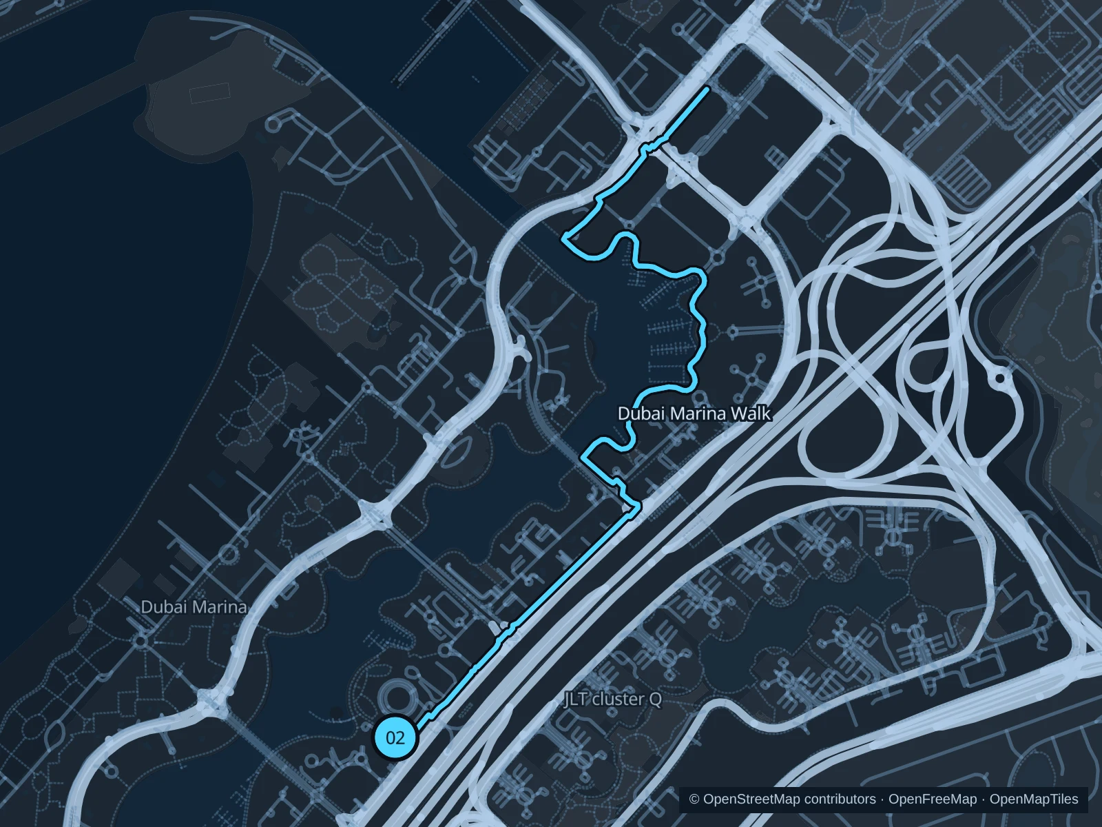
Dubai Marina Walk

Sheltered marina water, footbridges and high-rise reflections replace the open beach views.

Map of the 5.8 km Dubai Marina Walk run, with start and finish marked 02.
02 Out & backOpen full-size map
Approx. distance5.8 km
Underfoot

Paved pedestrian paths

02

Start here

On the waterfront promenade at Dubai Marina Mall.

Follow Dubai Marina Walk around the eastern shore to the northern marina basin near the Marina Towers, then return along the same path.

Getting there

Walk from the Dubai Marina Mall tram stop to the signed public path.

Before you go

Slow down at restaurant terraces and bridge approaches; stay off private pontoons.

Park / route information

Get running directions on your phone

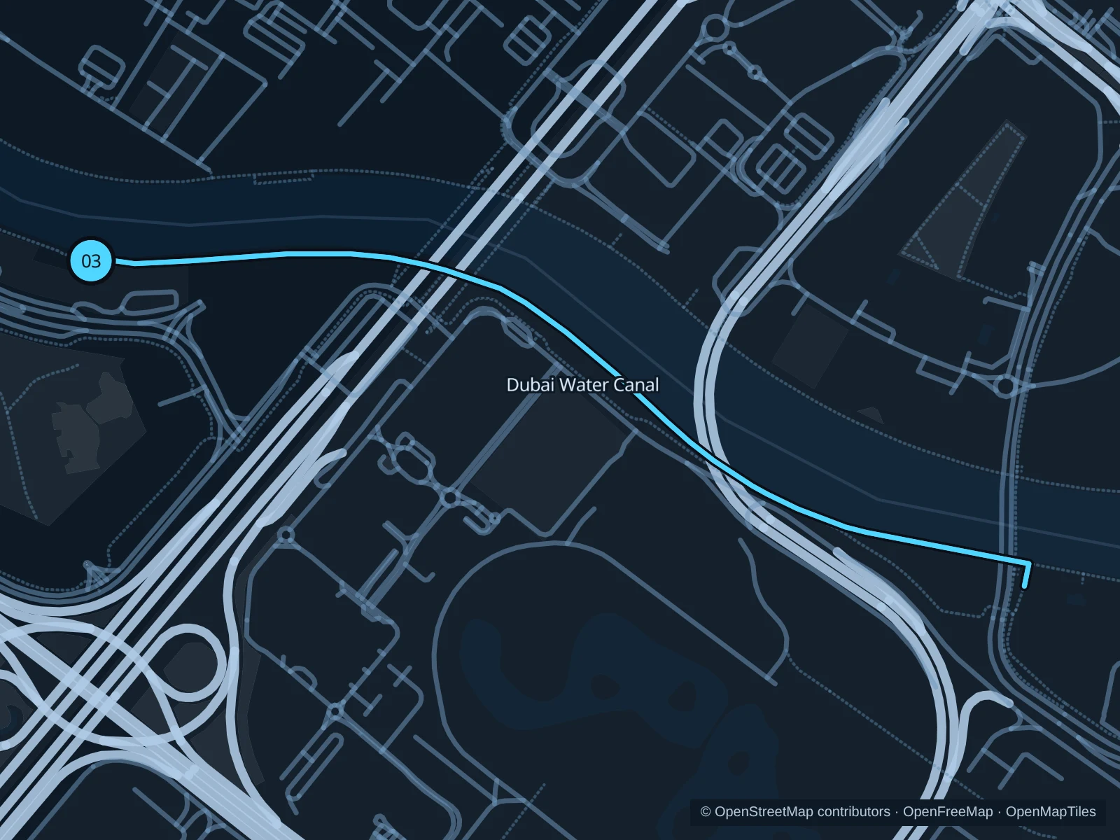
Dubai Water Canal

A shorter canal-side outing along the southern edge of Safa Park, past the canal bridges.

Map of the 2.8 km Dubai Water Canal run, with start and finish marked 03.
03 Out & backOpen full-size map
Approx. distance2.8 km
Underfoot

Paved pedestrian paths

03

Start here

On the public canal-side path at Safa Park.

Follow Dubai Water Canal to the Sheikh Zayed Road canal bridge, then return the same way.

Getting there

Take a taxi to the public canal-side path beside Safa Park. The route starts on the canal promenade, outside the park gates.

Before you go

Bridge access may include ramps or steps. Follow temporary access signs and keep clear of cyclists.

Park / route information

Get running directions on your phone

Get running directions on your phone

Choose a distance and start at your hotel. RunFromHere plans a loop back to your door and guides you along it. Download the area’s map before you leave to use it offline.

The app generates its own routes from your chosen start; it doesn’t open the routes in this guide.

More places to run

Al Ittihad Park

A landscaped running option on Palm Jumeirah, convenient if you’re staying on the trunk of the Palm.

Park / route information

Sources & route notes

Researched using the official visitor and park sources below; not checked on foot. Maps and GPX files use the same saved OpenStreetMap pedestrian paths. Distances are measured from that geometry and rounded for display; actual running distance can vary. Check local notices for access, gate hours and diversions.

Researched