
Skip to routes
RunFromHere
Get the app
English
White line illustration of Denver and its riverfront parks.

Denver

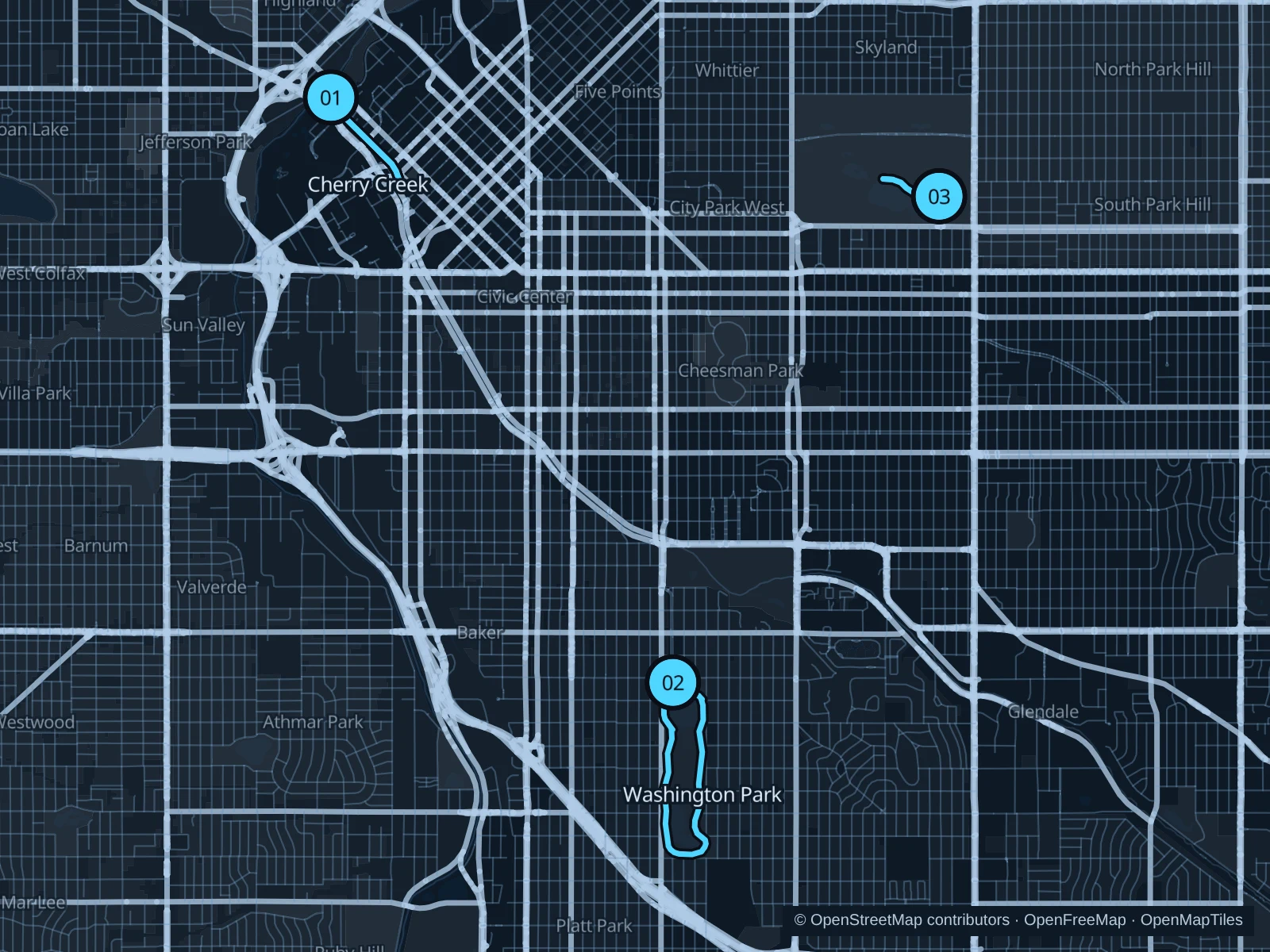
Cherry Creek gives downtown visitors a path below the traffic, Washington Park offers a longer circuit around two lakes, and City Park has a short museum-to-lake run. Denver’s altitude is a reason to start gently, even when the route looks flat.

Get running directions on your phone

Find a route near your hotel

The numbers mark each start. Distances exclude the journey from your accommodation.

Map data: © OpenStreetMap contributors · OpenFreeMap · OpenMapTiles

Where to run in Denver

Cherry Creek from Confluence Park

A short downtown out-and-back follows the creek below the bridges, close to LoDo hotels.
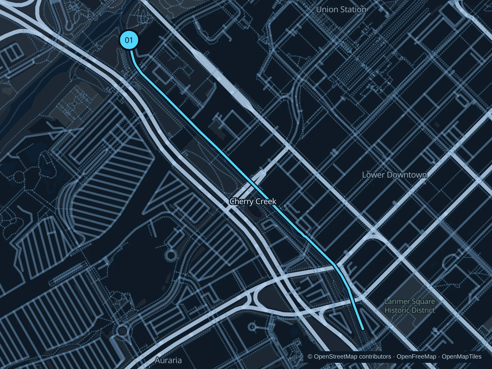
Map of the 2.0 km Cherry Creek from Confluence Park run, with start and finish marked 01.
01 Out & backOpen full-size map
Approx. distance2.0 km
Underfoot

Concrete pedestrian path

01

Start here

On the pedestrian Cherry Creek path in Confluence East Park, just southeast of the creek’s mouth.

Follow the pedestrian side of Cherry Creek southeast beneath the downtown bridges. Turn on the creek path just before Larimer Street Bridge and retrace your route to Confluence Park.

Getting there

Walk from Union Station toward Confluence Park and use the signed creekside pedestrian access.

Before you go

Where bikes have a separate path on the other bank, stay on the walking path. Underpasses can be icy or flooded; turn back at water, ice or a closure rather than moving into the cycle-only lane.

Park / route information Park / route information

Get running directions on your phone
Washington Park circuit

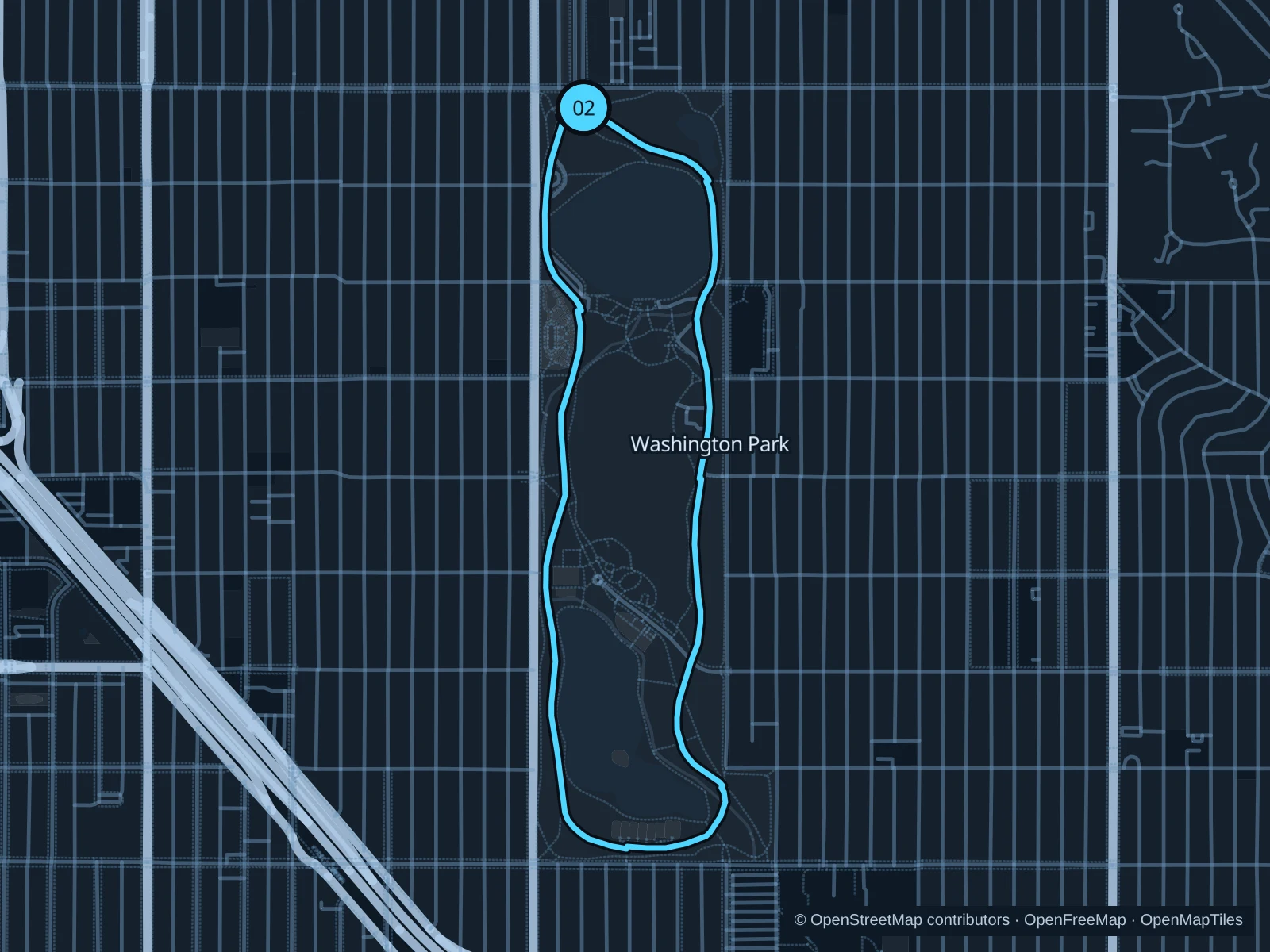
Smith Lake, Grasmere Lake and garden edges give this longer run a different setting from downtown’s creek paths.

Map of the 3.7 km Washington Park circuit run, with start and finish marked 02.
02 LoopOpen full-size map
Approx. distance3.7 km
Underfoot

Mostly asphalt with short fine-gravel path connections

02

Start here

At the north end of the shared walking and cycling loop beside the Virginia Avenue entrance, east of Downing Street.

Circle the park clockwise on the paths around the outside of Smith Lake and Grasmere Lake. Return north along the western side and finish at the Virginia Avenue entrance.

Getting there

Approach from Virginia Avenue, or walk east from the Louisiana–Pearl light-rail station to the park and continue to the saved northern start.

Before you go

Stay in the marked pedestrian space on shared paved sections, and watch for park-drive crossings. Follow posted hours and stay off soft paths when they’re muddy.

Park / route information Park / route information

Get running directions on your phone
City Park museum to Ferril Lake

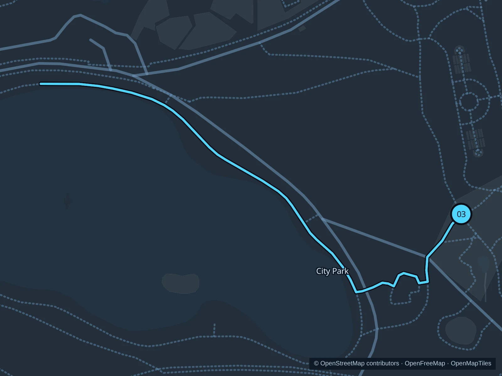
A compact outing combines the museum’s western lawn with the eastern and northern shores of Ferril Lake.

Map of the 1.3 km City Park museum to Ferril Lake run, with start and finish marked 03.
03 Out & backOpen full-size map
Approx. distance1.3 km
Underfoot

Concrete park paths

03

Start here

At the park-path junction on the west lawn of the Denver Museum of Nature & Science.

Take the southwest path down to Ferril Lake. Follow the eastern shore north and continue to the lake’s northernmost path bend, then return the same way to the museum lawn.

Getting there

Walk into City Park from Colorado Boulevard or the public paths north of East Colfax; the start is outside the museum, with no admission required.

Before you go

The saved path turns before the western pavilion and bandstand area affected by the 2026 fire and rebuilding. Respect all fencing; shorten the run if work reaches the lakeside path.

Park / route information Park / route information Park / route information

Get running directions on your phone

Get running directions on your phone

Choose a distance and start at your hotel. RunFromHere plans a loop back to your door and guides you along it. Download the area’s map before you leave to use it offline.

The app generates its own routes from your chosen start; it doesn’t open the routes in this guide.

More places to run

Cheesman Park

The public perimeter paths offer another leafy run nearer Capitol Hill. Keep to park paths and leave the neighboring Botanic Gardens out of the route unless you plan a separate ticketed visit.

Park / route information

Sloan’s Lake

West of downtown, the lake offers a longer lakeside circuit and skyline views. Check park hours and conditions rather than assuming overnight access.

Park / route information

Sources & route notes

Researched using the official visitor and park sources below; not checked on foot. Maps and GPX files use the same saved OpenStreetMap pedestrian paths. Distances are approximate. Check local notices for access, gate hours and diversions.

Researched