Skip to routes
RunFromHere
Get the app
English
Illustrated panorama of Denpasar in white linework.

Denpasar

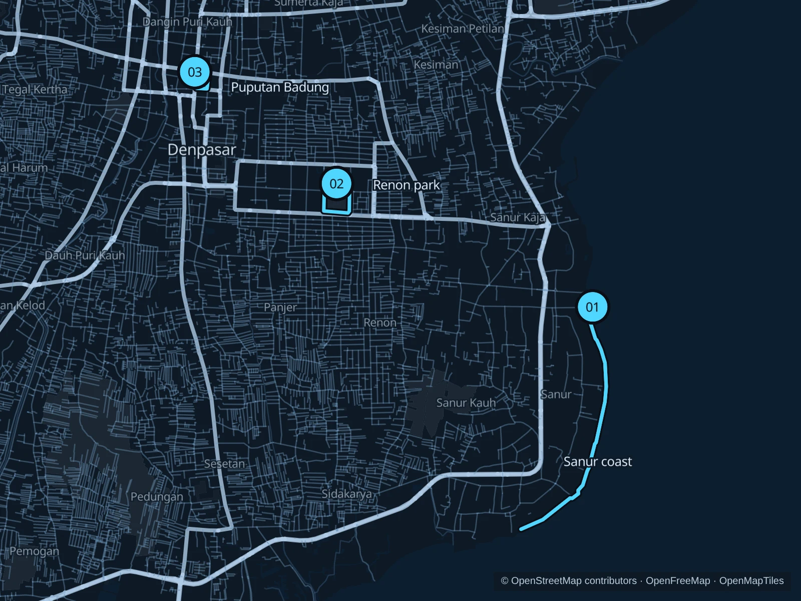
Denpasar includes Sanur’s coast as well as Bali’s busy administrative center. The Sanur path is the longer seaside option; Renon and Puputan Badung give shorter city-park runs. Travel between these areas separately, run in the cooler hours and leave room for walkers, bicycles and daily ceremonies.

Get running directions on your phone

Find a route near your hotel

The numbers mark each start. Distances exclude the journey from your accommodation.

Map data: © OpenStreetMap contributors · OpenFreeMap · OpenMapTiles

Where to run in Denpasar

Sanur · public coastal path

A longer out-and-back on the public coastal path, beside beaches, boats and hotel frontages.
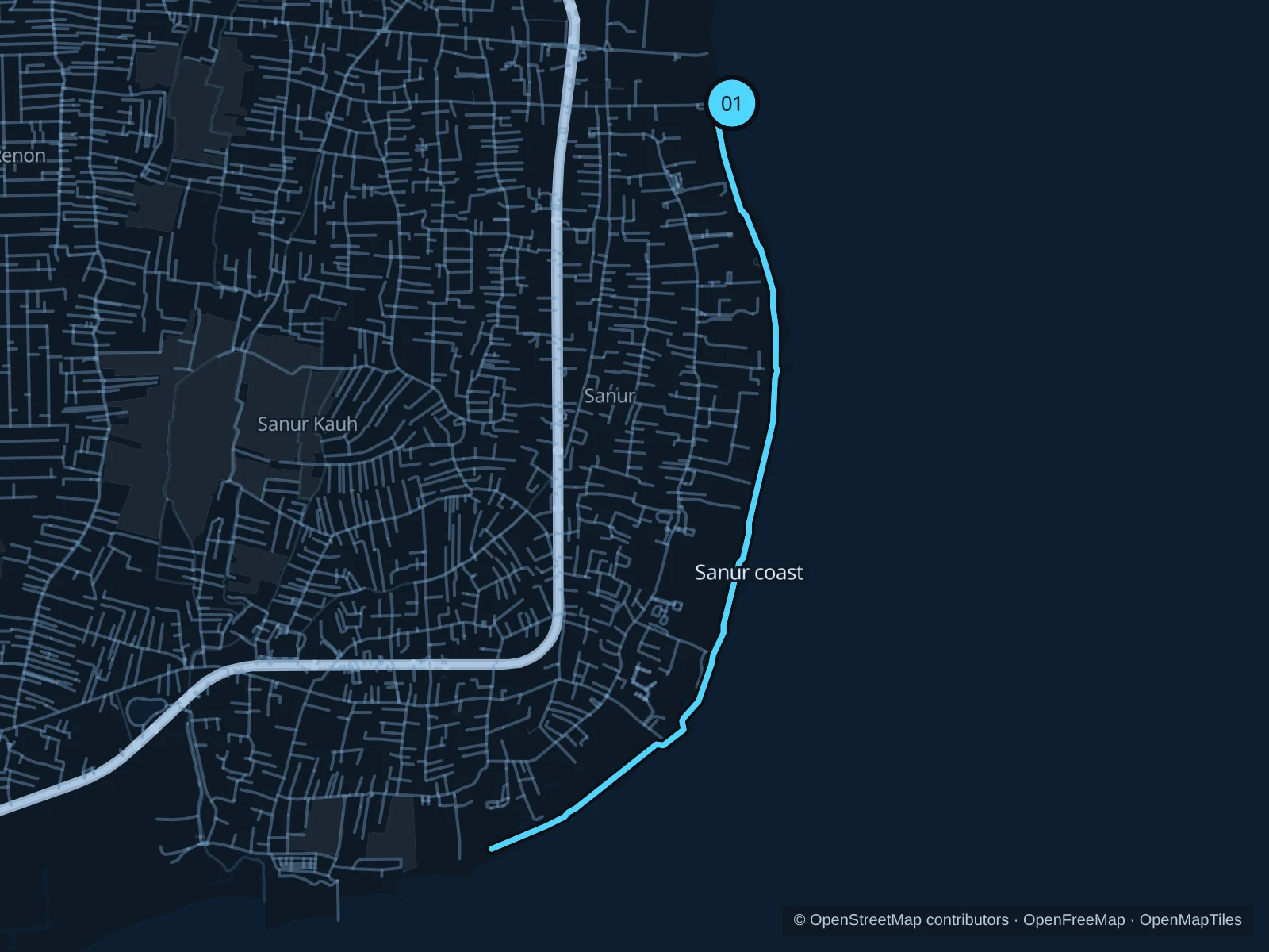
Map of the 7.2 km Sanur · public coastal path run, with start and finish marked 01.
01 Out & backOpen full-size map
Approx. distance7.2 km
Underfoot

Paved shared coastal path

01

Start here

On the public seaside path at the Sindhu Beach approach.

Follow the saved public path south along Sanur’s coast toward Mertasari, then return by the same path.

Getting there

Take a taxi from central Denpasar toward Sindhu Beach, then walk to the public coastal path.

Before you go

Stay on the public coastal path rather than hotel terraces. Give bicycles and walkers room and avoid stepping on offerings; wet paving and beach-access activity can interrupt a steady pace.

Park / route information

Get running directions on your phone
Renon · public park paths

A park circuit on the public grounds around the Bajra Sandhi monument area, separate from the museum visit.

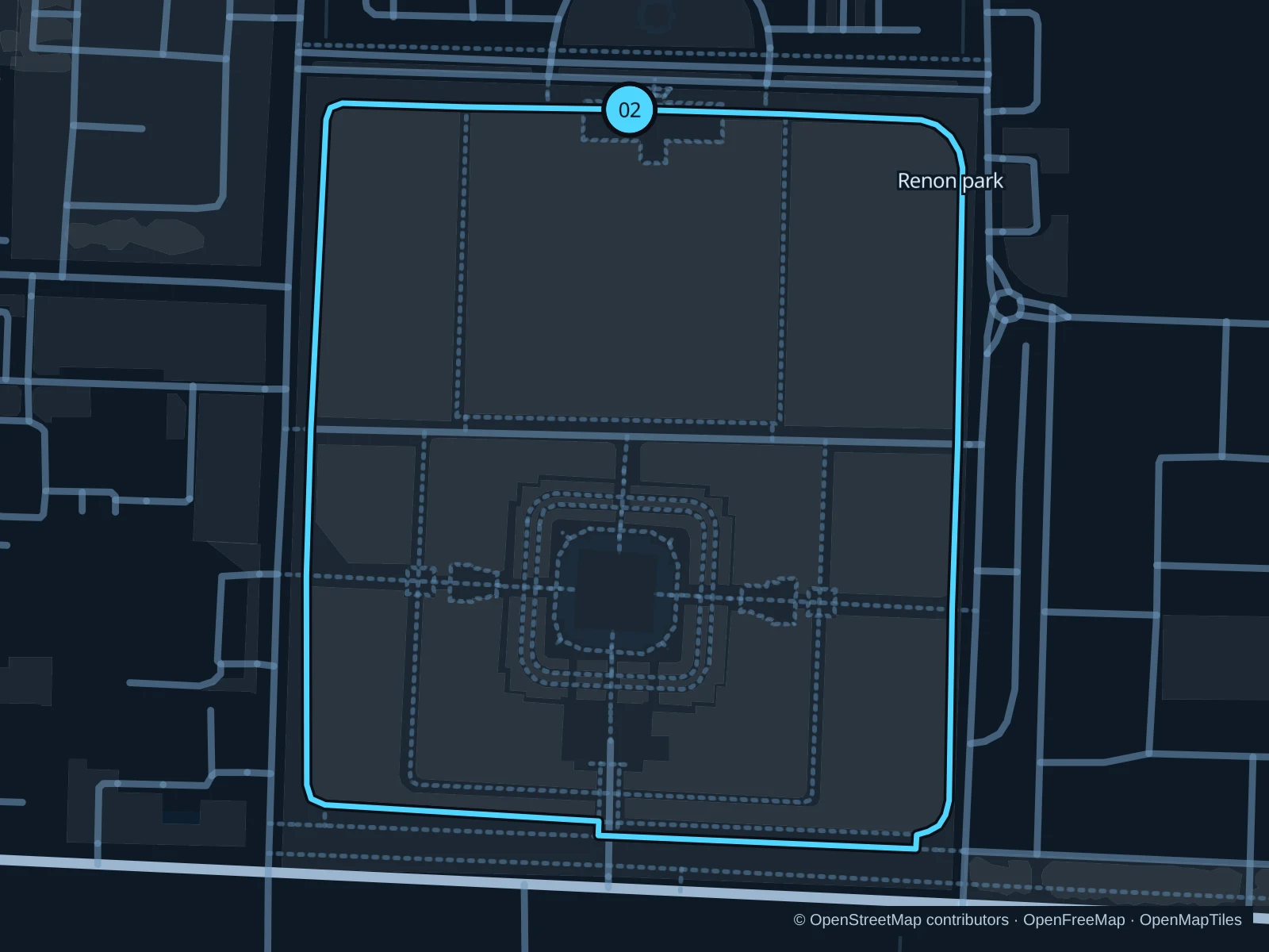
Map of the 1.4 km Renon · public park paths run, with start and finish marked 02.
02 LoopOpen full-size map
Approx. distance1.4 km
Underfoot

Park exercise paths and paved links

02

Start here

On the northern public park path at Lapangan Niti Mandala Renon.

Follow the saved public paths around the park’s outer planted areas and return to the northern starting point.

Getting there

Take a taxi or local transport to the Renon public grounds near Jalan Raya Puputan.

Before you go

The monument has separate visitor admission and rules. Stay on outdoor exercise paths, avoid ceremony areas and don’t assume the roads used for car-free events are closed to traffic every day.

Park / route information

Get running directions on your phone

Puputan Badung · square circuit

Two short laps around the public square, useful for a gentle central-city outing.

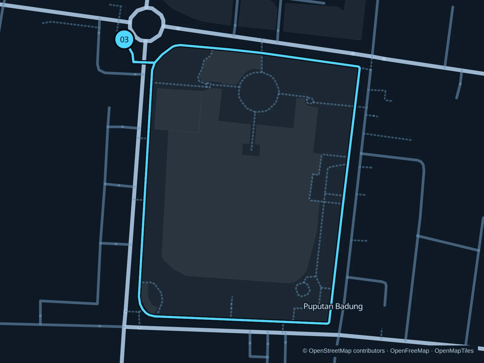
Map of the 1.6 km Puputan Badung · square circuit run, with start and finish marked 03.
03 LoopOpen full-size map
Approx. distance1.6 km
Underfoot

Paved public square paths

03

Start here

On the northern public path of Lapangan Puputan Badung.

Circle the square on the saved public paths and repeat once, finishing at the northern starting point.

Getting there

Walk from the historic center to the square using marked crossings; the museum and temple have separate entrances.

Before you go

The saved total includes both laps. Leave space for family exercise and ceremonies, stay off planted areas and keep the museum and temple grounds outside this run.

Park / route information

Get running directions on your phone

Get running directions on your phone

Choose a distance and start at your hotel. RunFromHere plans a loop back to your door and guides you along it. Download the area’s map before you leave to use it offline.

The app generates its own routes from your chosen start; it doesn’t open the routes in this guide.

More places to run

Lumintang City Park

A separate northern-city park for local exercise and family outings. Check the public paths and event notices, and give children and group activities plenty of room.

Park / route information

Kertalangu Cultural Village

The cultural village offers designated jogging paths beside rice fields. Ask about current admission and path conditions and keep out of cultivated plots and irrigation channels.

Park / route information

Sources & route notes

Researched using the official visitor and park sources below; not checked on foot. Maps and GPX files use the same saved OpenStreetMap pedestrian paths. Distances are approximate. Check local notices for access, gate hours and diversions.

Researched