Skip to routes
RunFromHere
Get the app
English
Illustrated panorama of Da Nang in white linework.

Da Nang

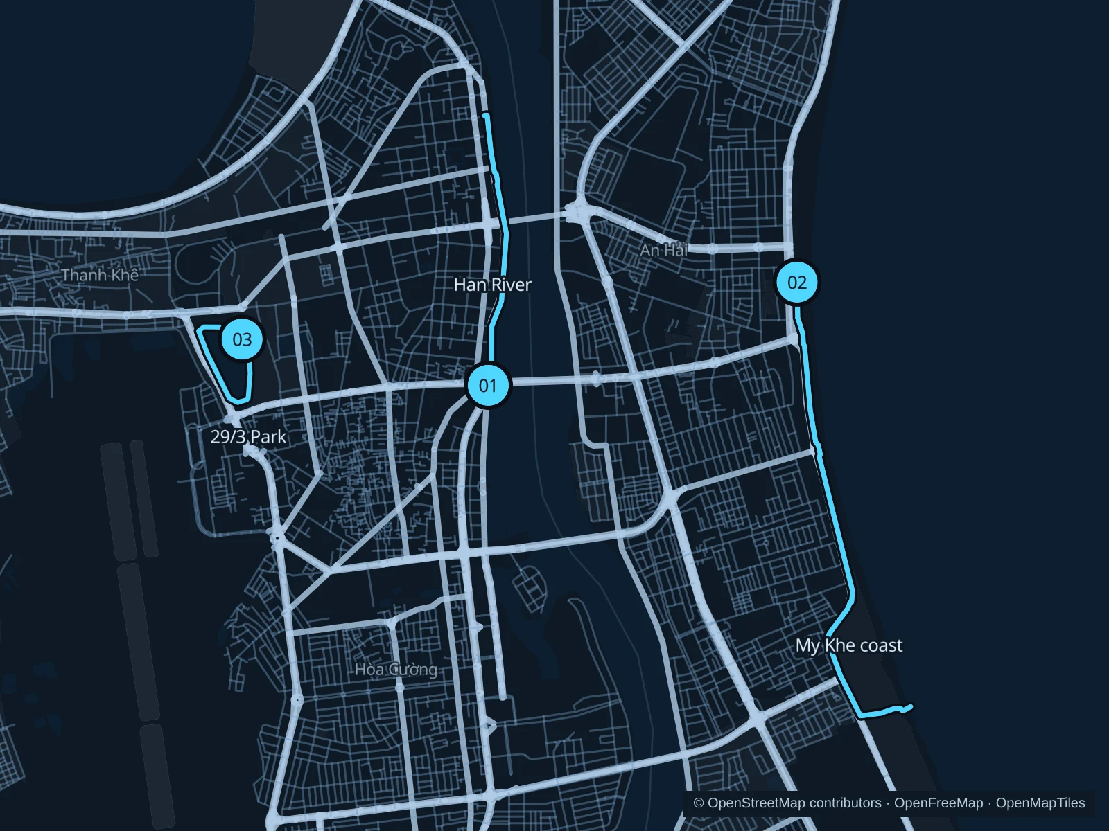
Da Nang has two very different waterfront runs: the Han River through the city center and the longer coastal footways along My Khe. The 29/3 lake park adds a short inland option when its paths are open. Heat, monsoon weather and event fencing matter more than chasing a pace; carry water and check current conditions.

Get running directions on your phone

Find a route near your hotel

The numbers mark each start. Distances exclude the journey from your accommodation.

Map data: © OpenStreetMap contributors · OpenFreeMap · OpenMapTiles

Where to run in Da Nang

Han River · west-bank paths

A public riverside out-and-back between central-city bridges and the northern waterfront.
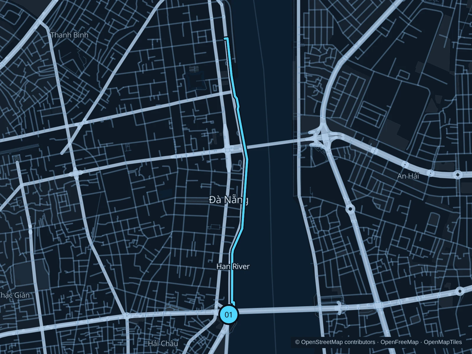
Map of the 4.3 km Han River · west-bank paths run, with start and finish marked 01.
01 Out & backOpen full-size map
Approx. distance4.3 km
Underfoot

Paved riverside footpaths and connecting sidewalks

01

Start here

On the public west-bank path just north of Dragon Bridge, by Bach Dang Street.

Follow the saved west-bank paths north past Han River Bridge and return from the recorded northern turnaround.

Getting there

Walk from Hai Chau hotels toward the western end of Dragon Bridge using public crossings.

Before you go

Promenade sections can fill with event equipment and evening crowds. Stay on pedestrian paths and use designated crossings at bridge approaches.

Park / route information

Get running directions on your phone
My Khe · coastal footways

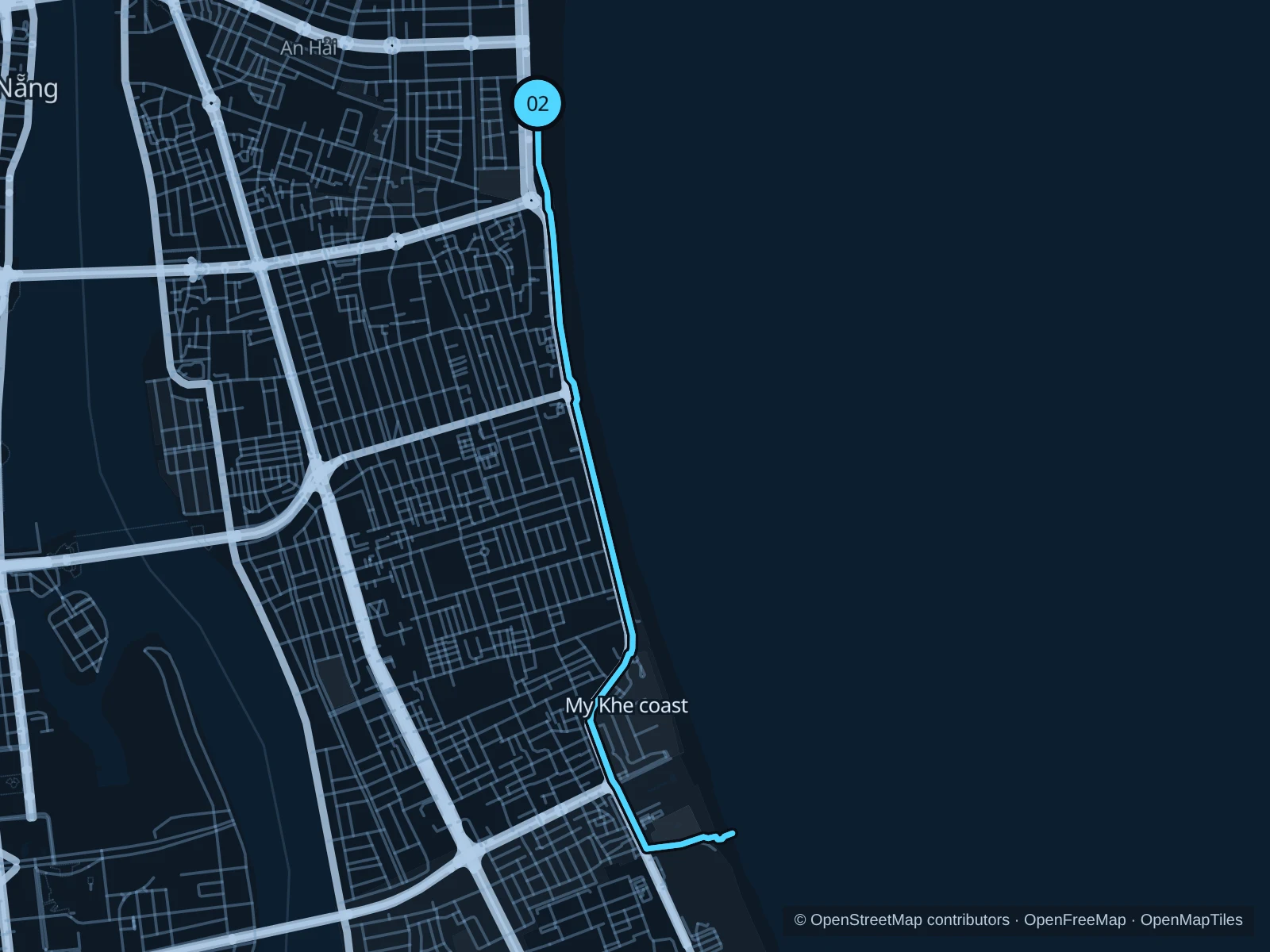
The longest saved run here follows public coastal footways and the sidewalks beside the beachfront road.

Map of the 7.7 km My Khe · coastal footways run, with start and finish marked 02.
02 Out & backOpen full-size map
Approx. distance7.7 km
Underfoot

Paved footways, sidewalk crossings and a public beach-access passage

02

Start here

On the public coastal path near Bien Dong Park and Vo Nguyen Giap Street.

Follow the recorded coastal footways south through the My Khe frontage to the public beach-access passage, then return the same way.

Getting there

Walk from nearby beach hotels to Bien Dong Park, crossing Vo Nguyen Giap only at designated crossings.

Before you go

This route stays on paved surfaces, with short access crossings and roadside sections. Do not cut through resorts; coastal storms, spray and sand can make paths unsafe or slippery.

Park / route information

Get running directions on your phone

29/3 Park · lake paths

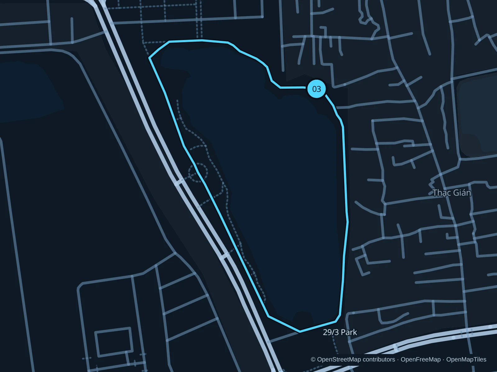
A short inland lake loop for an easy-paced run when the park’s paths are open.

Map of the 1.6 km 29/3 Park · lake paths run, with start and finish marked 03.
03 LoopOpen full-size map
Approx. distance1.6 km
Underfoot

Park footpaths with varying surfaces

03

Start here

On the northeastern public lake path inside 29/3 Park.

Follow the eastern lake paths south, continue around the western side and return to the northeastern junction.

Getting there

Take a taxi or bus toward the park’s Dien Bien Phu side and walk through an open public entrance to the lake.

Before you go

The city reports park upgrades and lake-water problems. Check which paths are open today, and skip the run if construction or odors make it unpleasant or local notices advise against it.

Park / route information Park / route information

Get running directions on your phone

Get running directions on your phone

Choose a distance and start at your hotel. RunFromHere plans a loop back to your door and guides you along it. Download the area’s map before you leave to use it offline.

The app generates its own routes from your chosen start; it doesn’t open the routes in this guide.

More places to run

Non Nuoc Beach

Farther south, the Non Nuoc beach area suits a separate coastal outing from nearby resorts. Use signed public beach access and check how the paths in front of the hotels connect before setting a distance.

Park / route information

Son Tra Peninsula

A much hillier excursion northeast of the city. Ask about current visitor access and permitted routes, arrange return transport and avoid assuming that every forest or coastal road is open to runners.

Park / route information

Sources & route notes

Researched using the official visitor and park sources below; not checked on foot. Maps and GPX files use the same saved OpenStreetMap pedestrian paths. Distances are approximate. Check local notices for access, gate hours and detours.

Researched