Skip to routes
RunFromHere
Get the app
English
Illustrated panorama of Copenhagen in white linework.

Copenhagen

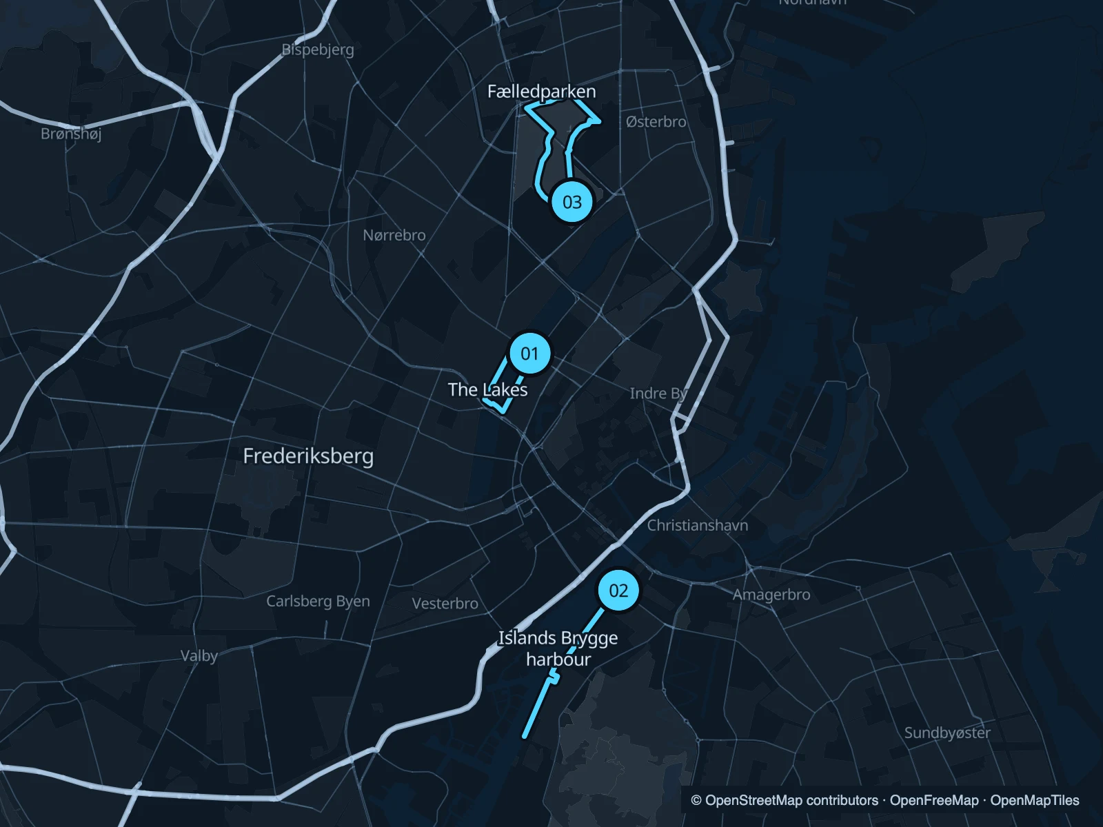
Around Peblinge Sø, along the harbour at Islands Brygge, or through Fælledparken north of the centre: three places to run in Copenhagen, with public starts near the city’s residential districts.

Get running directions on your phone

Find a route near your hotel

The numbers mark each start. Distances exclude the journey from your accommodation.

Map data: © OpenStreetMap contributors · OpenFreeMap · OpenMapTiles

Where to run in Copenhagen

The Lakes · Peblinge Sø

A short lap of Peblinge Sø, one of the central lake basins. Repeat the circuit for more distance without changing your bearings.
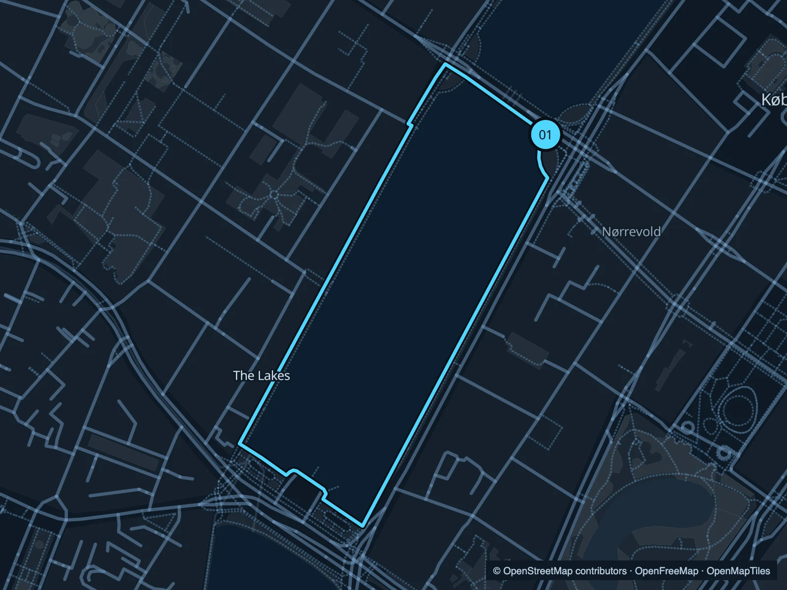
Map of the 1.6 km The Lakes · Peblinge Sø run, with start and finish marked 01.
01 LoopOpen full-size map
Approx. distance1.6 km
Underfoot

Paved and lakeside paths

01

Start here

At the southeastern end of Dronning Louises Bro, beside Peblinge Sø.

Follow the lake south, cross at its southern end and return along the western shore.

Getting there

Walk from Nørreport towards Dronning Louises Bro.

Before you go

Use the pedestrian paths beside the cycle routes. Bridge approaches can be busy with commuters.

Park / route information

Get running directions on your phone
Islands Brygge harbour

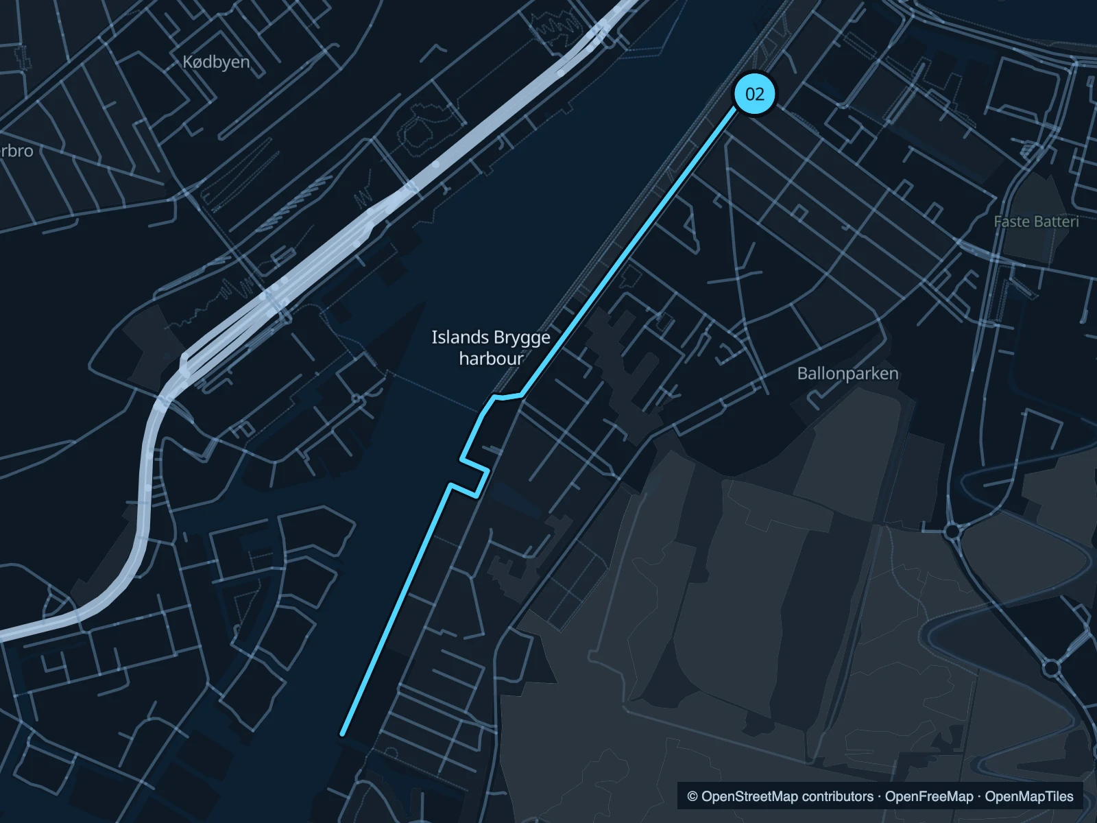
A short out-and-back beside the harbour, with quays and modern waterside buildings. This covers only a section of the wider harbour network.

Map of the 3.5 km Islands Brygge harbour run, with start and finish marked 02.
02 Out & backOpen full-size map
Approx. distance3.5 km
Underfoot

Paved quays and shared paths

02

Start here

On the public quay at Islands Brygge.

Follow the public quay southwest, using the mapped connections around the basins, then return.

Getting there

Walk from Islands Brygge metro station towards the harbour.

Before you go

Keep to the public waterfront and make space at bathing areas and bridge entrances.

Park / route information

Get running directions on your phone

Fælledparken

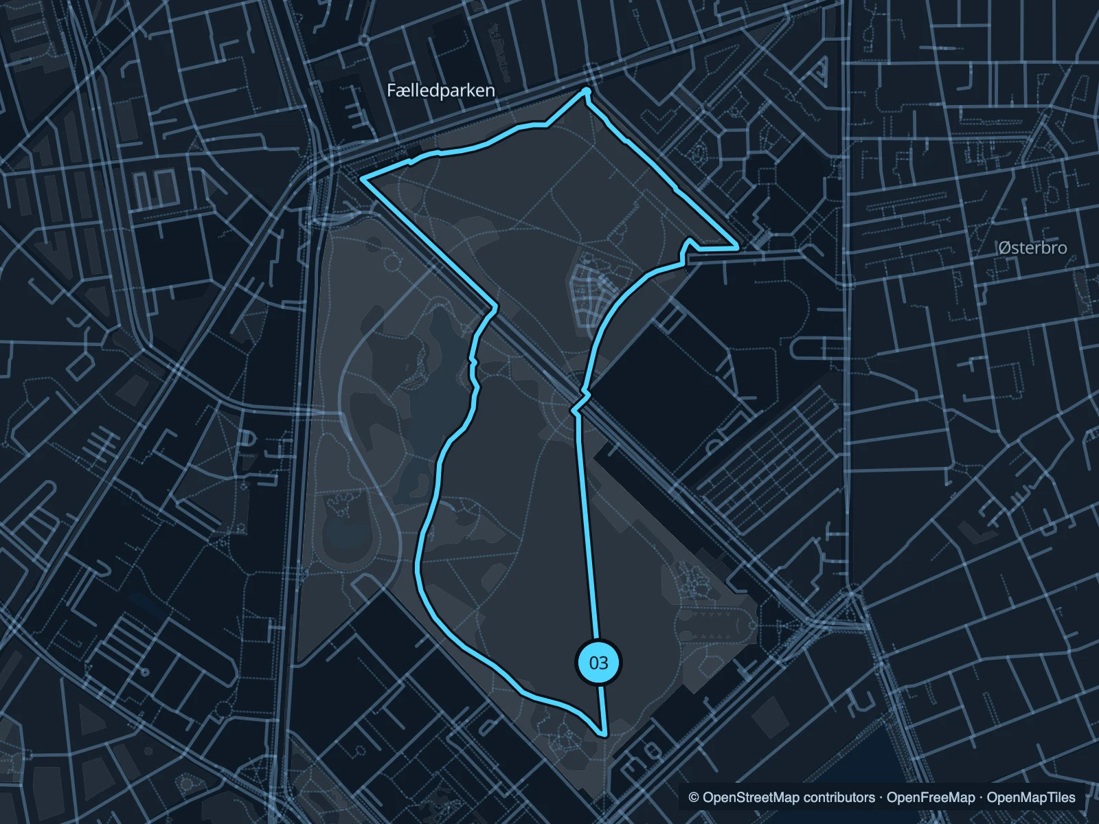
Open lawns and mature trees in a park used for sport as well as everyday walks. The loop covers both its southern and northern paths.

Map of the 3.2 km Fælledparken run, with start and finish marked 03.
03 LoopOpen full-size map
Approx. distance3.2 km
Underfoot

Paved and mixed park paths

03

Start here

At the southern park paths near Blegdamsvej.

Loop north around the open parkland and return through the southern paths.

Getting there

Approach from Trianglen or the neighbourhood south of the park.

Before you go

Give space around sports pitches and playgrounds. Event fencing may change the most direct path.

Park / route information

Get running directions on your phone

Get running directions on your phone

Choose a distance and start at your hotel. RunFromHere plans a loop back to your door and guides you along it. Download the area’s map before you leave to use it offline.

The app generates its own routes from your chosen start; it doesn’t open the routes in this guide.

More places to run

The other lake basins

The neighbouring basins let you plan a longer lake outing, with additional road crossings between them.

Park / route information

Harbour Circle

The full signed harbour circuit is a separate longer option; check its current map before extending this short route.

Park / route information

Sources & route notes

Researched using the official visitor and park sources below; not checked on foot. Maps and GPX files use the same saved OpenStreetMap pedestrian paths. Distances are approximate. Check local notices for access, gate hours and diversions.

Researched