Skip to routes
RunFromHere
Get the app
English
Illustrated panorama of Cologne in white linework.

Cologne

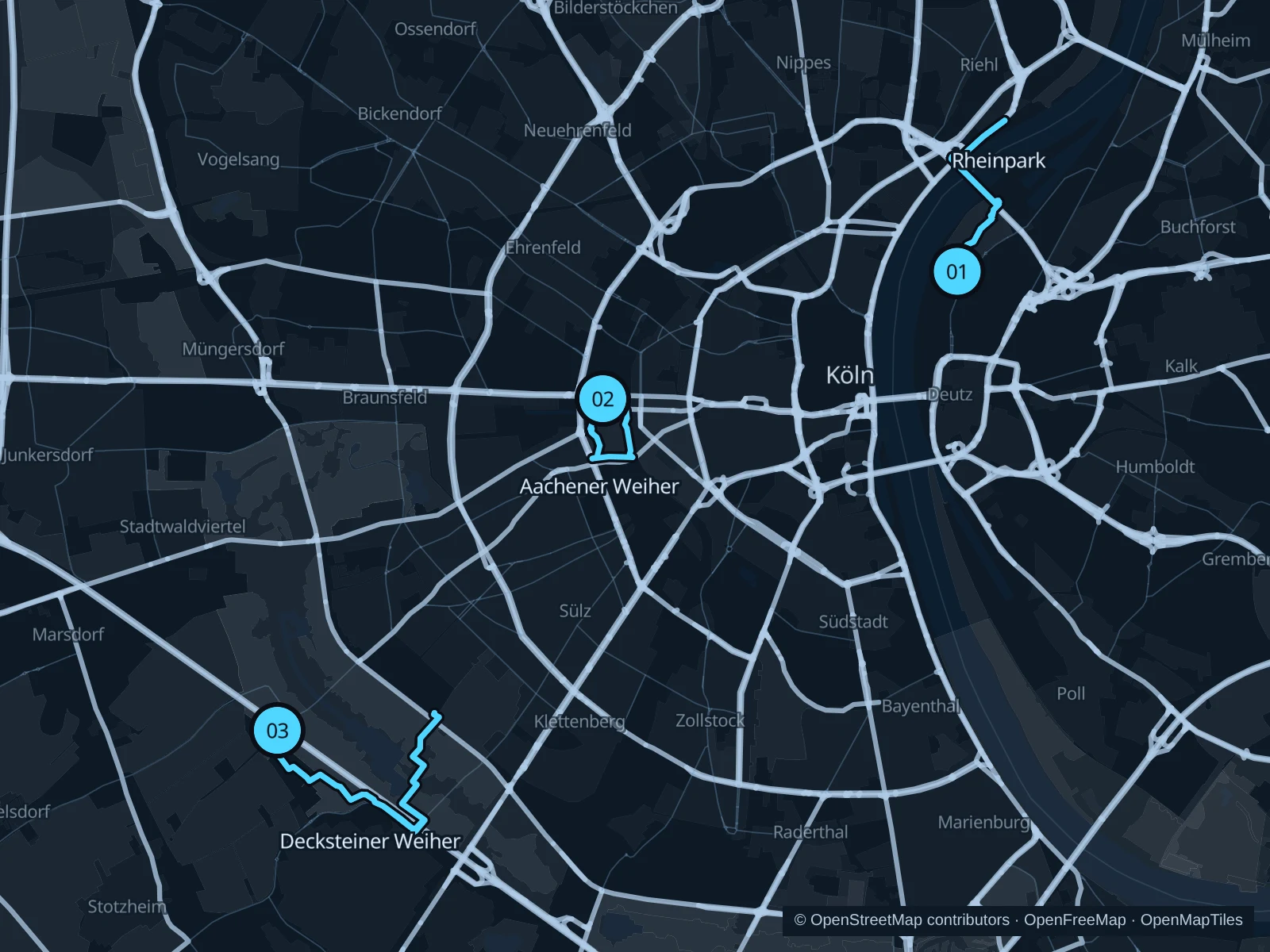
Run beside the Rhine in Rheinpark, take a shorter green-belt circuit at Aachener Weiher, or head west to Decksteiner Weiher for longer tree-lined paths.

Get running directions on your phone

Find a route near your hotel

The numbers mark each start. Distances exclude the journey from your accommodation.

Map data: © OpenStreetMap contributors · OpenFreeMap · OpenMapTiles

Where to run in Cologne

Rheinpark

The cathedral skyline stays across the water while park paths avoid the old-town crowds.
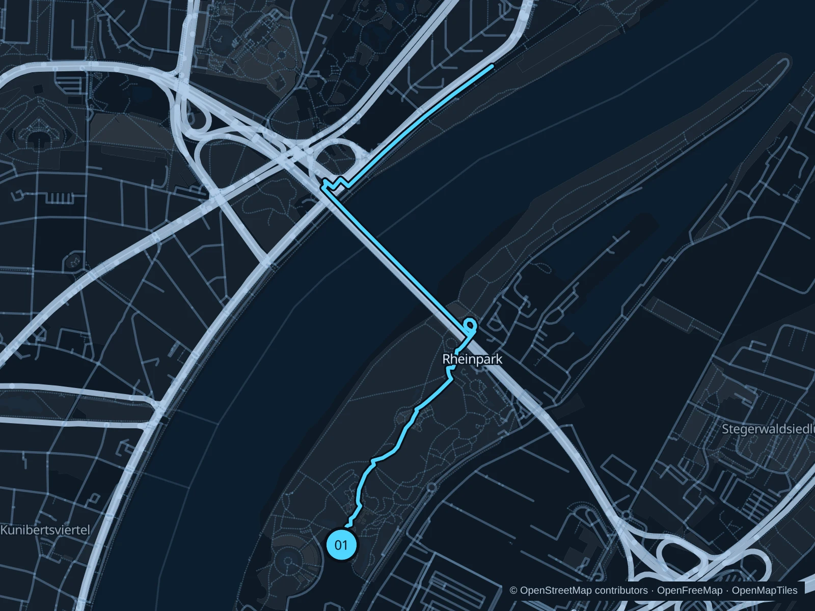
Map of the 4.4 km Rheinpark run, with start and finish marked 01.
01 Out & backOpen full-size map
Approx. distance4.4 km
Underfoot

Paved waterfront paths

01

Start here

Riverside path beside Tanzbrunnen.

Follow the mapped park paths north and turn at the Zoobrücke-side path marked on the map, then return the same way.

Getting there

Walk from Köln Messe/Deutz toward Tanzbrunnen and the river.

Before you go

Keep clear of event entrances at Tanzbrunnen; riverside sections are exposed to wind and high-water closures.

Park / route information

Get running directions on your phone
Aachener Weiher & Hiroshima-Nagasaki-Park

A pond and grassy slopes within reach of cafés and central hotels.

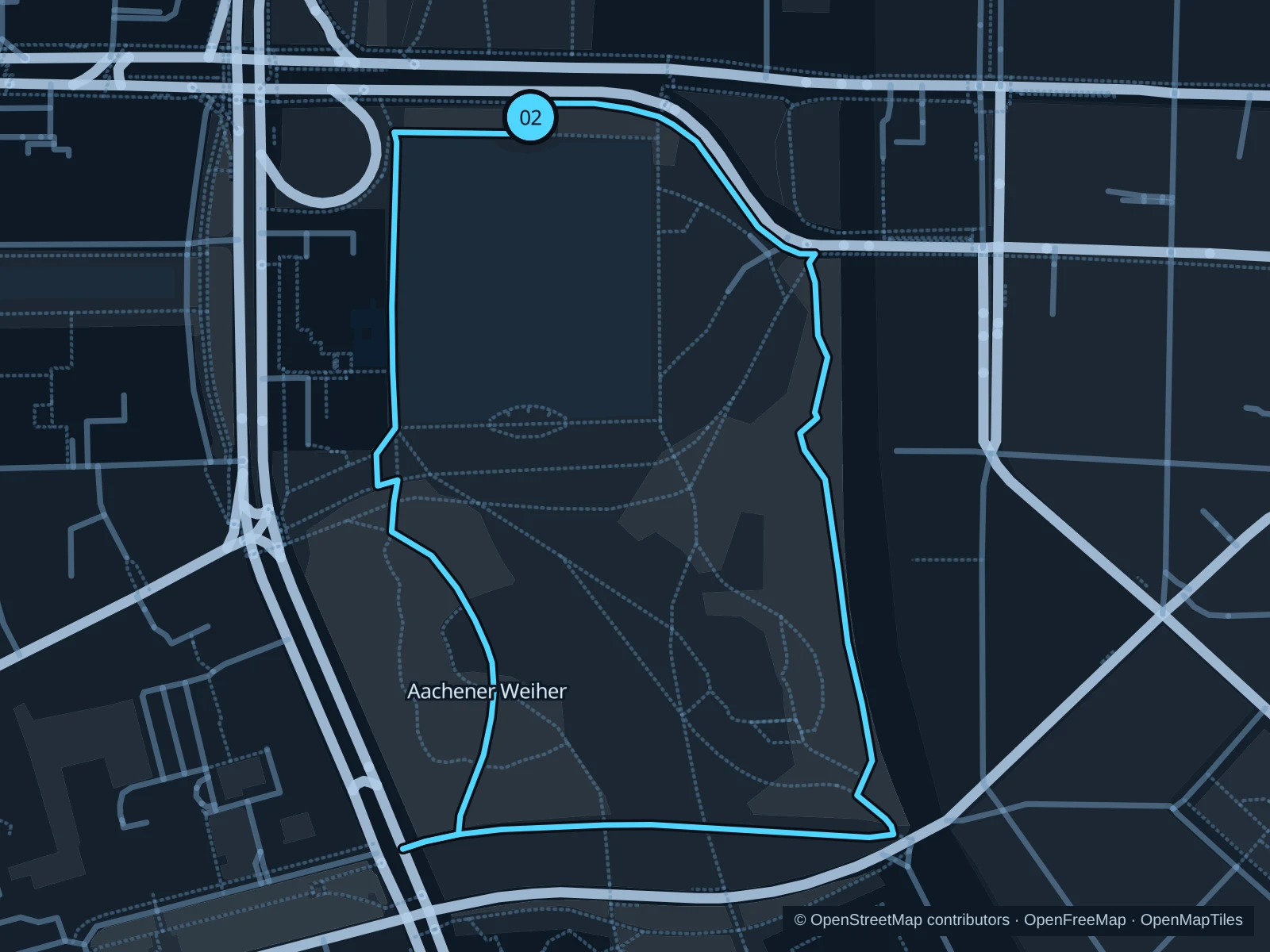
Map of the 1.9 km Aachener Weiher & Hiroshima-Nagasaki-Park run, with start and finish marked 02.
02 LoopOpen full-size map
Approx. distance1.9 km
Underfoot

Park paths, paved and unpaved

02

Start here

Pond-side path at the Aachener Straße approach.

Circle the pond and the southern Hiroshima-Nagasaki-Park paths, returning to Aachener Straße.

Getting there

Walk from the Moltkestraße tram stop toward the pond.

Before you go

The slopes and lawns fill with picnickers; use established paths and watch for glass after busy evenings.

Park / route information

Get running directions on your phone

Decksteiner Weiher

Broad avenues and water-side paths make a longer alternative to the central parks.

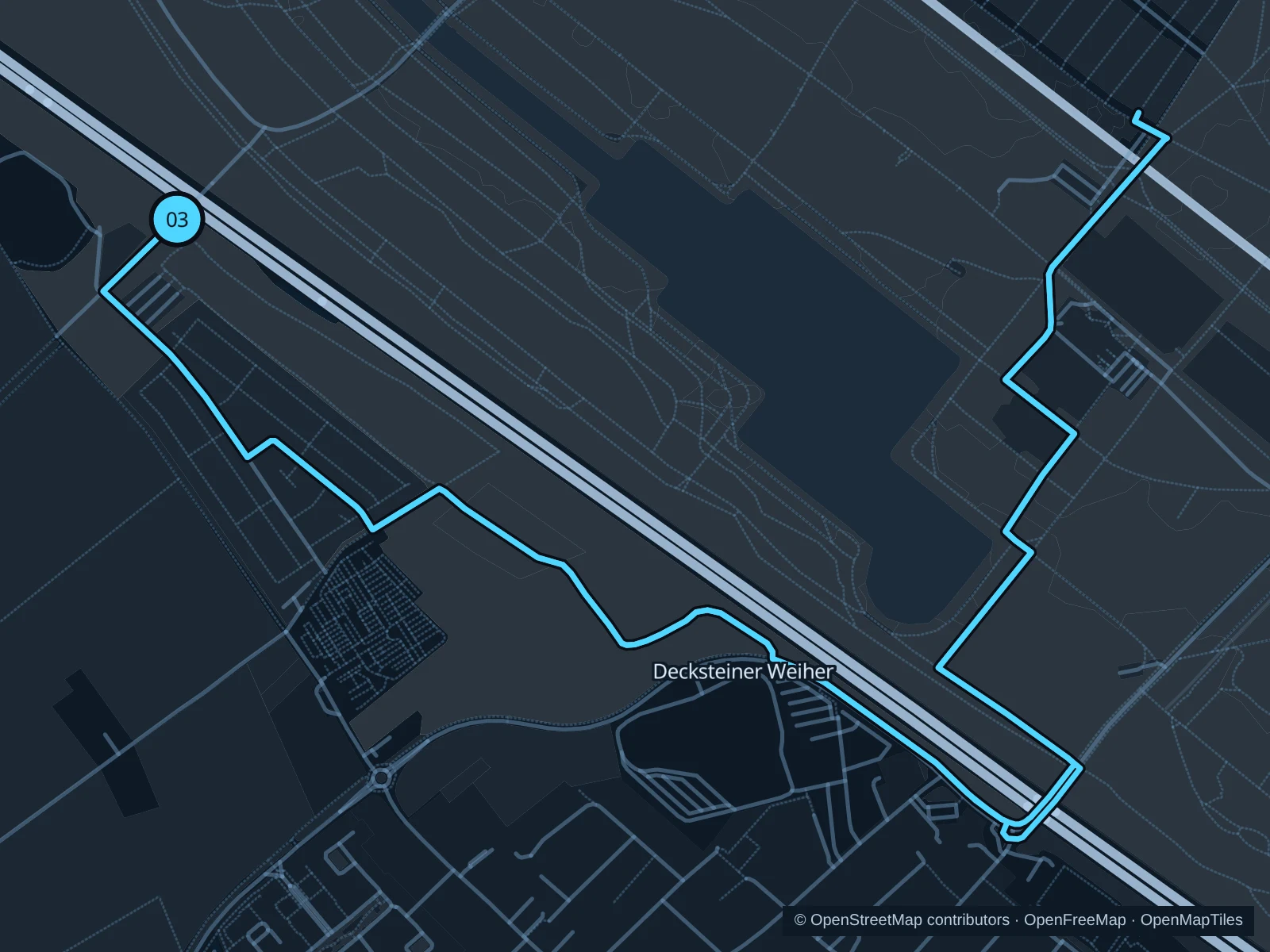
Map of the 6.9 km Decksteiner Weiher run, with start and finish marked 03.
03 LoopOpen full-size map
Approx. distance6.9 km
Underfoot

Gravel and compacted paths

03

Start here

Public green-belt path by Decksteiner Straße.

Follow the public avenues around the Decksteiner Weiher area, returning through the wooded green belt.

Getting there

Use public transport to Lindenthal, then walk in via Decksteiner Straße.

Before you go

Expect bicycles, dogs and muddy edges after rain; stay on the public paths beside sports grounds. Slow to a walk at gates and barriers.

Park / route information

Get running directions on your phone

Get running directions on your phone

Choose a distance and start at your hotel. RunFromHere plans a loop back to your door and guides you along it. Download the area’s map before you leave to use it offline.

The app generates its own routes from your chosen start; it doesn’t open the routes in this guide.

More places to run

Sources & route notes

Researched using the official visitor and park sources below; not checked on foot. Maps and GPX files use the same saved OpenStreetMap pedestrian paths. Distances are approximate. Check local notices for access, gate hours and diversions.

Researched