Skip to routes
RunFromHere
Get the app
English
Illustrated panorama of Chicago in white linework.

Chicago

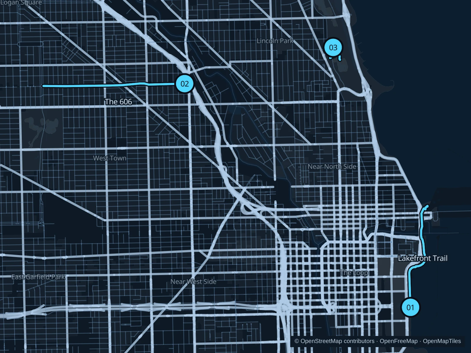
Choose the pedestrian Lakefront Trail for Lake Michigan views, The 606 for an elevated neighborhood run, or South Pond for a short Lincoln Park circuit. Current lakefront repairs mean the saved waterfront route needs an on-site access check.

Get running directions on your phone

Find a route near your hotel

The numbers mark each start. Distances exclude the journey from your accommodation.

Map data: © OpenStreetMap contributors · OpenFreeMap · OpenMapTiles

Where to run in Chicago

Lakefront Trail

Lake Michigan and the downtown skyline frame a waterfront out-and-back near the central hotels.
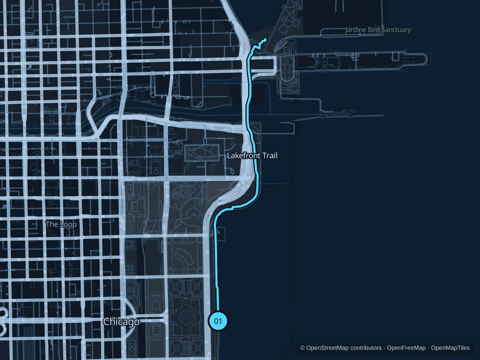
Map of the 4.5 km Lakefront Trail run, with start and finish marked 01.
01 Out & backOpen full-size map
Approx. distance4.5 km
Underfoot

Paved pedestrian paths

01

Start here

At the Lakefront Trail junction east of Buckingham Fountain.

Follow the Lakefront Trail to Ohio Street Beach, then return along the same path.

Getting there

Walk from the Jackson or Adams/Wabash CTA stations to the signed public path.

Before you go

Use the pedestrian trail and follow current repair signs. Turn back at active work zones, rough waves or ice.

Park / route information

Get running directions on your phone
The 606

This former elevated rail line offers a longer neighborhood run above most street crossings.

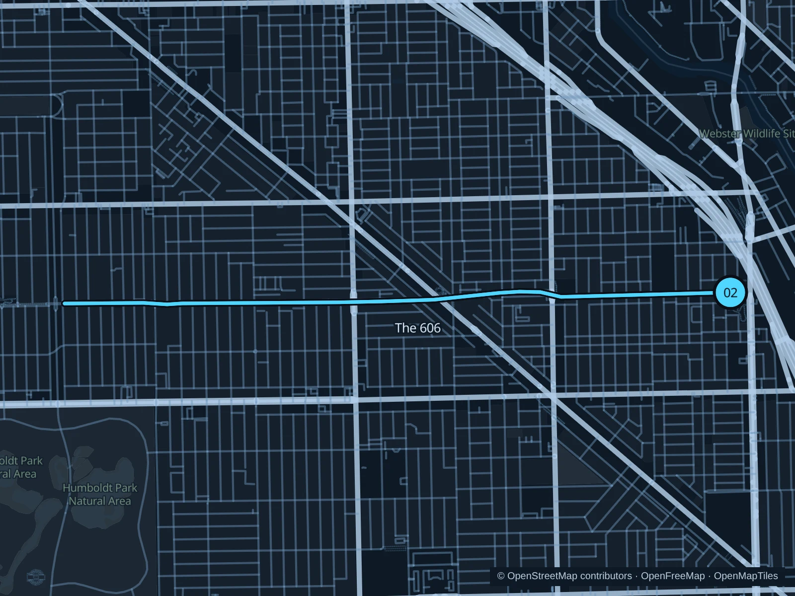
Map of the 5.4 km run on The 606, with start and finish marked 02.
02 Out & backOpen full-size map
Approx. distance5.4 km
Underfoot

Paved paths shared with walkers and cyclists

02

Start here

On the elevated Bloomingdale Trail beside the top of the Walsh Park access ramp.

Follow the elevated Bloomingdale Trail west to its bridge over Humboldt Boulevard, turn around before crossing the boulevard bridge, and retrace the same path.

Getting there

Take the CTA Blue Line to Damen, then walk east to Walsh Park and use the trail access ramp.

Before you go

Stay right, pass on the left and respect ramp traffic. Check the park’s daily opening hours.

Park / route information

Get running directions on your phone

Lincoln Park South Pond

A compact pond circuit brings prairie plantings and skyline reflections close to North Side stays.

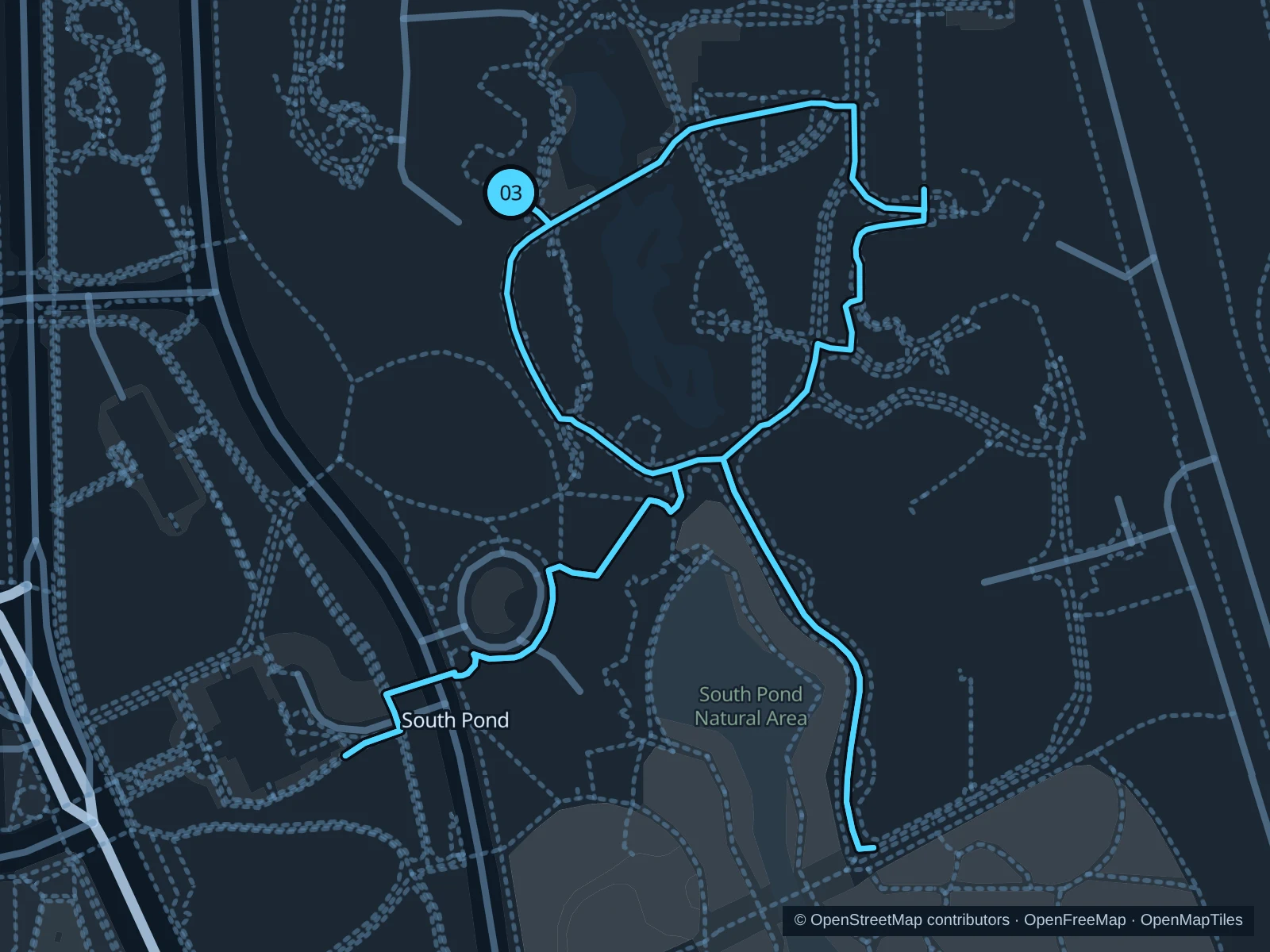
Map of the 1.3 km Lincoln Park South Pond run, with start and finish marked 03.
03 LoopOpen full-size map
Approx. distance1.3 km
Underfoot

Paved paths and compacted natural surfaces

03

Start here

At the public path beside Café Brauer.

Circle South Pond on the public paths, walking narrow boardwalk sections, and return to Café Brauer.

Getting there

Walk from the bus stops on Stockton Drive or Clark Street to the signed public path.

Before you go

The natural area follows zoo hours. Walk on narrow boardwalks and around wildlife or school groups.

Park / route information

Get running directions on your phone

Get running directions on your phone

Choose a distance and start at your hotel. RunFromHere plans a loop back to your door and guides you along it. Download the area’s map before you leave to use it offline.

The app generates its own routes from your chosen start; it doesn’t open the routes in this guide.

More places to run

Northerly Island

The paved out-and-back through prairie habitats is another Museum Campus option, open dawn to dusk.

Park / route information

Burnham Wildlife Corridor

Farther south, public paths pass restored habitats. Check current notices about repairs proceeding in stages along the lakefront before extending your run.

Park / route information

Sources & route notes

Researched using the official visitor and park sources below; not checked on foot. Maps and GPX files use the same saved OpenStreetMap pedestrian paths. Distances are approximate. Check local notices for access, gate hours and diversions.

Researched