Skip to routes
RunFromHere
Get the app
English
Illustrated panorama of Cancún in white linework.

Cancún

Cancún’s public parks offer runs away from private resort grounds. Parque de la Equidad has room for a longer run, Kabah adds a wooded trail, and Ombligo Verde suits short, easy laps. Take a bus or taxi from the Hotel Zone, run in daylight and carry water.

Get running directions on your phone

Find a route near your hotel

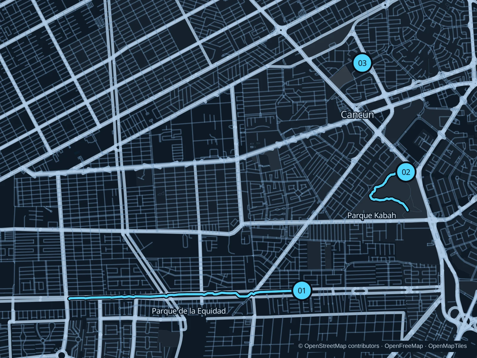
The numbers mark each start. Distances exclude the journey from your accommodation.

Map data: © OpenStreetMap contributors · OpenFreeMap · OpenMapTiles

Where to run in Cancún

Parque de la Equidad

This linear urban park offers a longer run on public paths, away from the Hotel Zone.
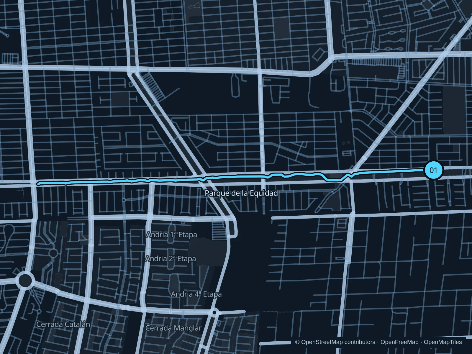
Map of the 5.8 km Parque de la Equidad run, with start and finish marked 01.
01 Out & backOpen full-size map
Approx. distance5.8 km
Underfoot

Paved paths shared with walkers and cyclists

01

Start here

On the shared park path in the Avenida Cancún median beside Paseo de la Serena.

Follow the shared park path west along Avenida Cancún. Turn around at the mapped point before Avenida 135 and retrace the same path.

Getting there

Take a local bus or taxi to Avenida Cancún at Paseo de la Serena, then use a marked crossing to reach the park path.

Before you go

Share the path with cyclists, stop at road crossings and avoid active garden or maintenance work areas.

Park / route information

Get running directions on your phone
Parque Kabah

Wooded park trails, an alternative to the exposed boulevard and lagoonfront.

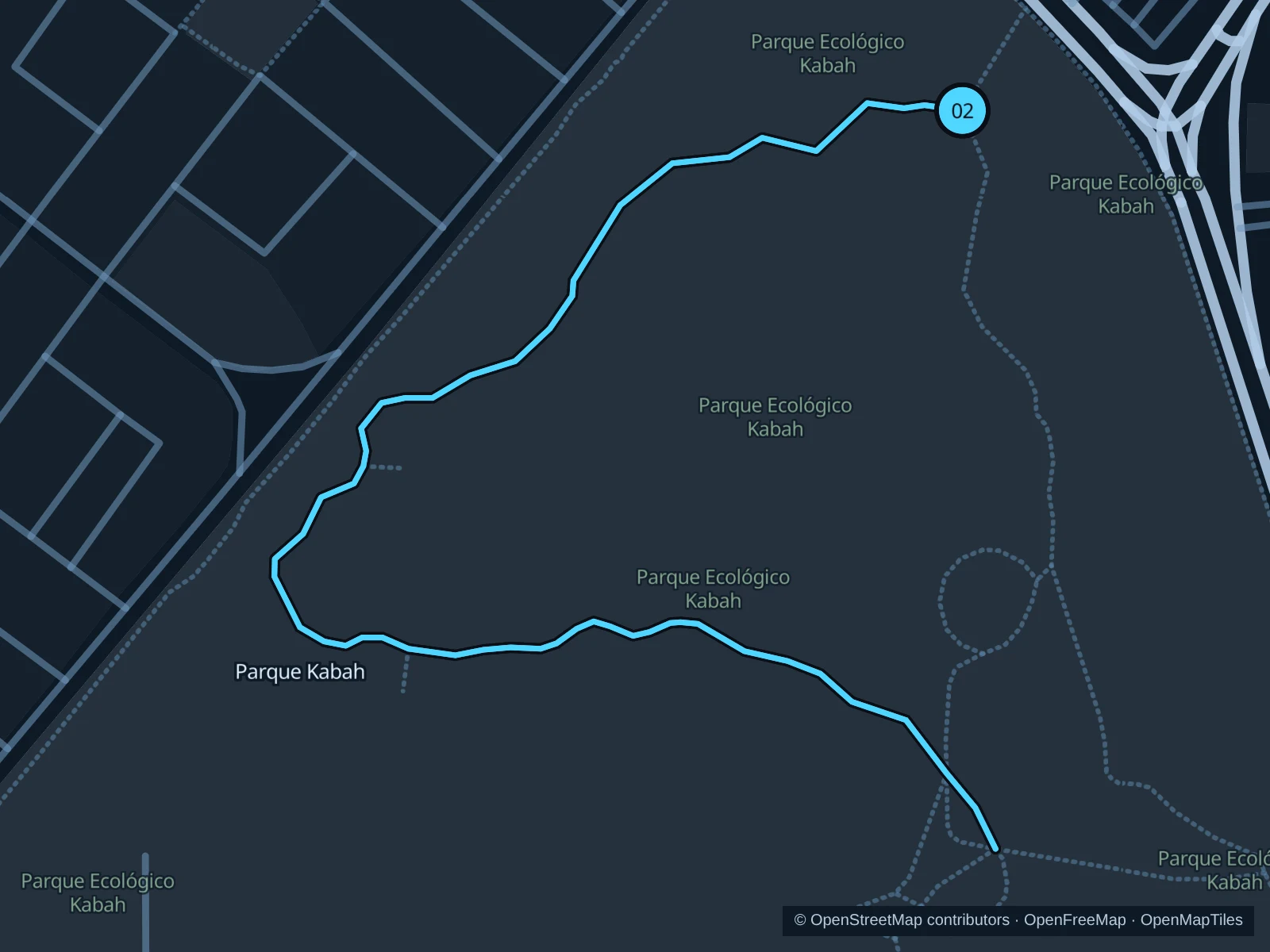
Map of the 2.3 km Parque Kabah run, with start and finish marked 02.
02 Out & backOpen full-size map
Approx. distance2.3 km
Underfoot

Woodland nature trail

02

Start here

At the Ruta Parque Kabah trail junction just inside the northern Avenida Kabah entrance.

Follow the mapped Ruta Parque Kabah west and south through the wooded interior. Turn around at the southern end of the saved trail and retrace the same path to the northern junction.

Getting there

Take a local bus or taxi to the Avenida Kabah park entrance, then walk down the entrance path to the signed nature trail.

Before you go

The city lists daily opening hours of 6am to 6pm; check current gate and storm notices. Stay on designated trails and do not feed coatis.

Park / route information

Get running directions on your phone

Ombligo Verde

Five easy laps of a small wooded loop in a protected urban reserve.

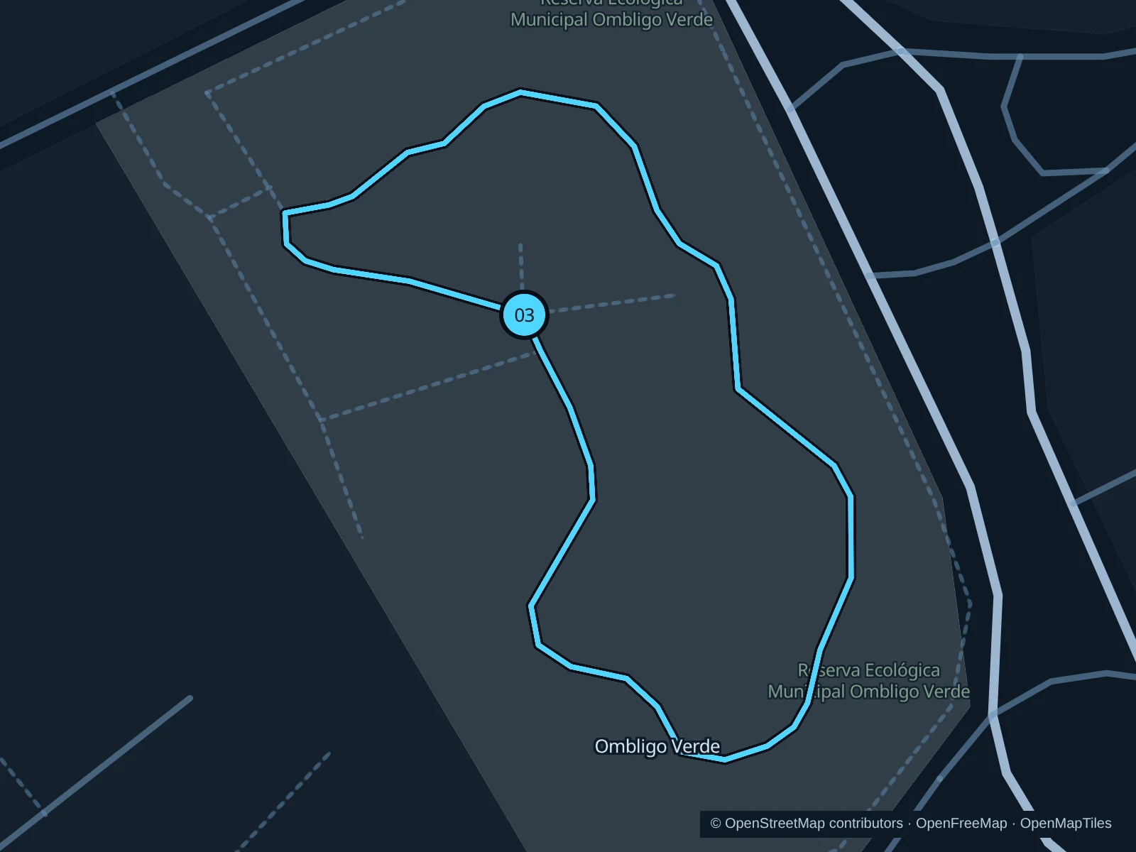
Map of the 2.0 km Ombligo Verde run: five laps of the same public loop, start and finish marked 03.
03 LoopOpen full-size map
Approx. distance2.0 km
Underfoot

Park footpaths

03

Start here

At the public reserve path junction on the Avenida Ixcún side.

Run five laps of the same public reserve loop, returning to the Avenida Ixcún-side path junction after each lap. The saved GPX includes all five laps.

Getting there

Take a local bus or taxi to Avenida Ixcún beside Ombligo Verde, then enter the reserve through the public pedestrian entrance.

Before you go

The city lists opening hours of 7am to 4pm; check the gate before starting. Keep to reserve paths, away from cathedral construction, and walk if trails are narrow or busy.

Park / route information Park / route information

Get running directions on your phone

Get running directions on your phone

Choose a distance and start at your hotel. RunFromHere plans a loop back to your door and guides you along it. Download the area’s map before you leave to use it offline.

The app generates its own routes from your chosen start; it doesn’t open the routes in this guide.

More places to run

Malecón Tajamar

The lagoonfront is another walking and running area. Sunday Paseo Cancunense road closures apply only during the announced event hours.

Park / route information

Hotel Zone paths

Boulevard Kukulcán has a long recreational corridor. Use paths signed for pedestrians or shared use, and check current maintenance diversions.

Park / route information

Sources & route notes

Researched using the official visitor and park sources below; not checked on foot. Maps and GPX files use the same saved OpenStreetMap pedestrian paths. Distances are approximate. Check local notices for access, gate hours and diversions.

Researched