Skip to routes
RunFromHere
Get the app
English
Illustrated panorama of Cairo in white linework.

Cairo

Cairo needs a little planning: a small garden outing, an urban Nile-side run and a desert trail offer very different experiences. Al-Azhar has admission and visitor rules; Wadi Degla needs a separate trip, water and an up-to-date check on reserve access. Run in daylight when it’s cooler, at a pace that leaves room for pedestrians.

Get running directions on your phone

Find a route near your hotel

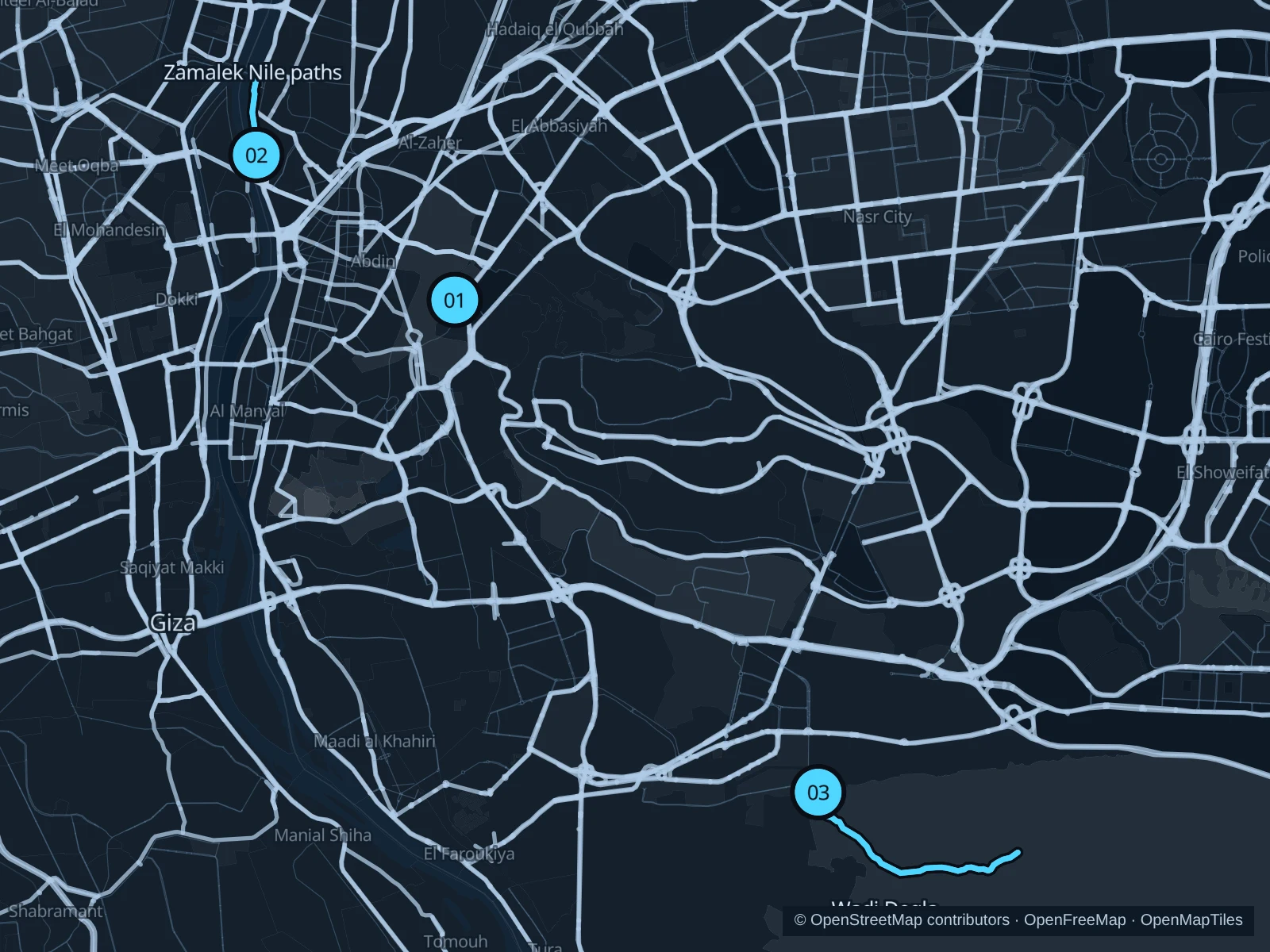
The numbers mark each start. Distances exclude the journey from your accommodation.

Map data: © OpenStreetMap contributors · OpenFreeMap · OpenMapTiles

Where to run in Cairo

Al-Azhar Park · southern gardens

A very short garden run from the Royal Palm Promenade into the southern garden paths.
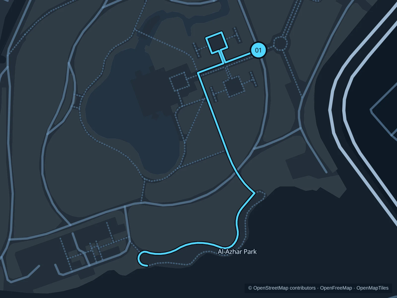
Map of the 0.8 km Al-Azhar Park · southern gardens run, with start and finish marked 01.
01 Out & backOpen full-size map
Approx. distance0.9 km
Underfoot

Garden paving and connecting paths

01

Start here

On the Royal Palm Promenade in the southern garden, inside the park.

Follow the recorded garden paths south, then retrace them to the Royal Palm Promenade.

Getting there

Take a taxi to the Salah Salem entrance, pay admission, then walk to the southern gardens before starting.

Before you go

Before running, ask park staff whether jogging is permitted that day and which paths are open during events. Slow down near families and keep off planted areas and terraces.

Park / route information Park / route information

Get running directions on your phone
Zamalek · northern Nile paths

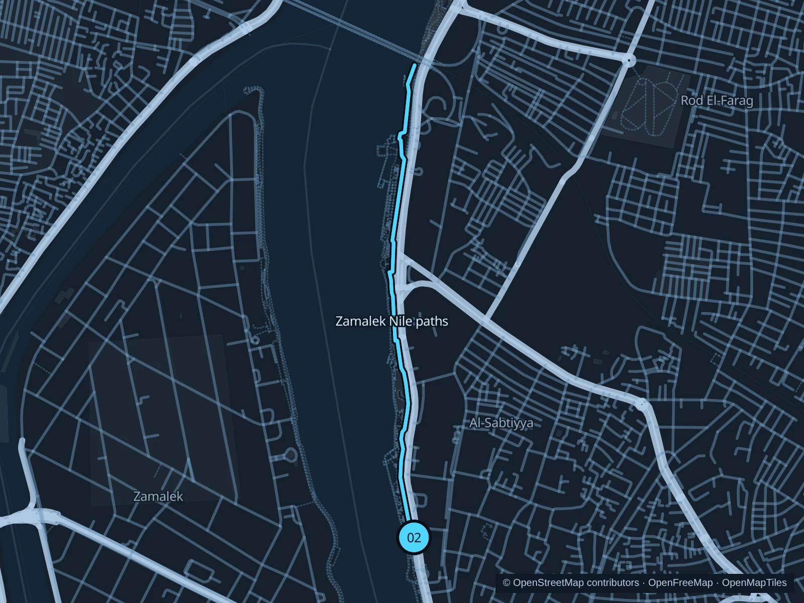
An urban out-and-back along the island’s eastern Nile-side pedestrian paths, with buildings and river views.

Map of the 2.8 km Zamalek · northern Nile paths run, with start and finish marked 02.
02 Out & backOpen full-size map
Approx. distance2.8 km
Underfoot

Paved footpaths, uneven sections and vehicle-access crossings

02

Start here

On the public riverside footpath near the eastern end of 26th of July Street.

Follow the recorded pedestrian paths north toward the island’s northern tip, then retrace the same route.

Getting there

Walk from central Zamalek or take a taxi to the public Corniche near 26th of July Street.

Before you go

Boat restaurants have separate entrances. Stay on public paths, expect broken paving and access traffic, and turn back if a section is fenced.

Park / route information

Get running directions on your phone

Wadi Degla · valley trail

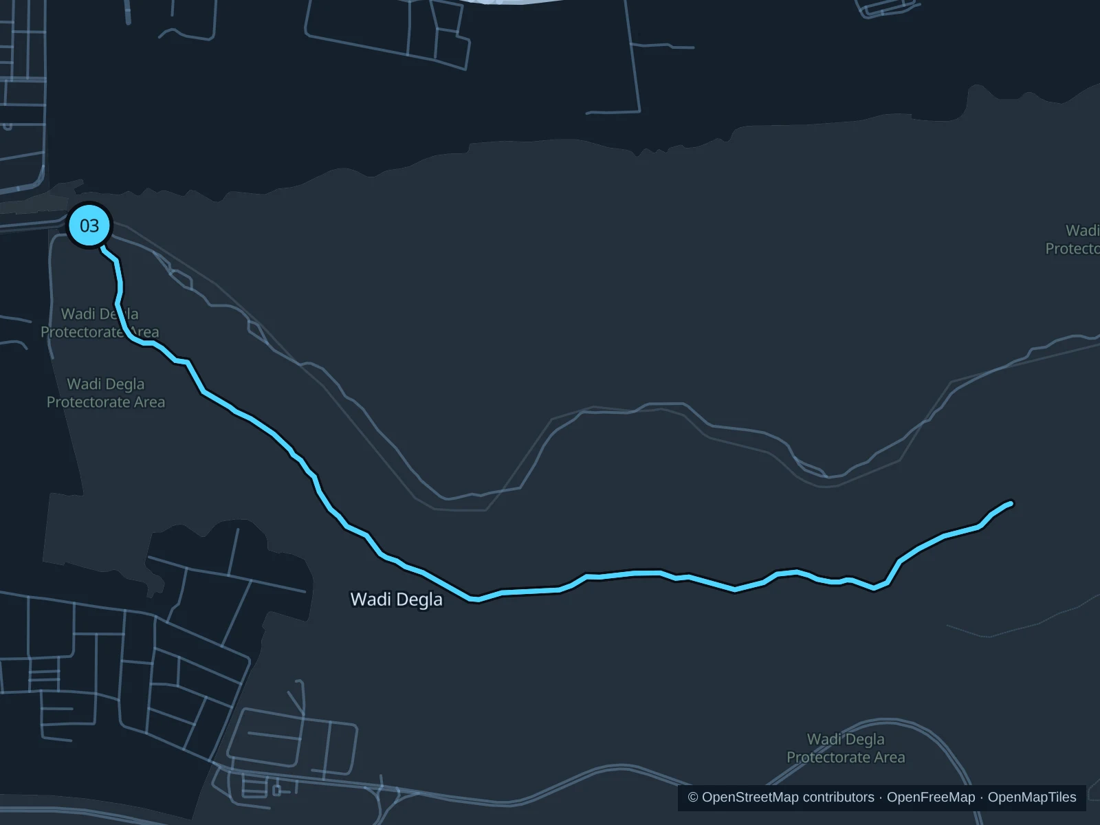
A longer desert trail on the recorded valley track, away from central Cairo’s streets. This is an excursion, not a quick street run from your hotel.

Map of the 9.0 km Wadi Degla · valley trail run, with start and finish marked 03.
03 Out & backOpen full-size map
Approx. distance9.0 km
Underfoot

Rocky and sandy desert track

03

Start here

On the valley track just inside the western reserve entrance near Maadi.

Follow the saved valley track east into the reserve, then return on the same track without taking the branching hill trails.

Getting there

Arrange a taxi to the western Wadi Degla entrance and a return pickup. Before you go, confirm the reserve’s current opening hours and admission.

Before you go

Carry all your water and sun protection. Skip it in extreme heat or when rain or flood warnings are in effect; loose rock and remote sections make this unsuitable for an improvised night run.

Park / route information

Get running directions on your phone

Get running directions on your phone

Choose a distance and start at your hotel. RunFromHere plans a loop back to your door and guides you along it. Download the area’s map before you leave to use it offline.

The app generates its own routes from your chosen start; it doesn’t open the routes in this guide.

More places to run

Al Andalus Park

A compact ornamental garden near the Opera House. Better for a quiet walk or warm-up than a fast workout; check admission and garden rules.

Park / route information

Aquarium Grotto Garden

A separate Zamalek garden on El Gabalaya Street. Its grottos and small paths suit a slower visit; do not assume a continuous running circuit or dawn admission.

Park / route information

Sources & route notes

Researched using the official visitor and park sources below; not checked on foot. Maps and GPX files use the same saved OpenStreetMap pedestrian paths. Distances are approximate. Check local notices for access, gate hours and diversions.

Researched