Skip to routes
RunFromHere
Get the app
English
Illustrated panorama of Bruges in white linework.

Bruges

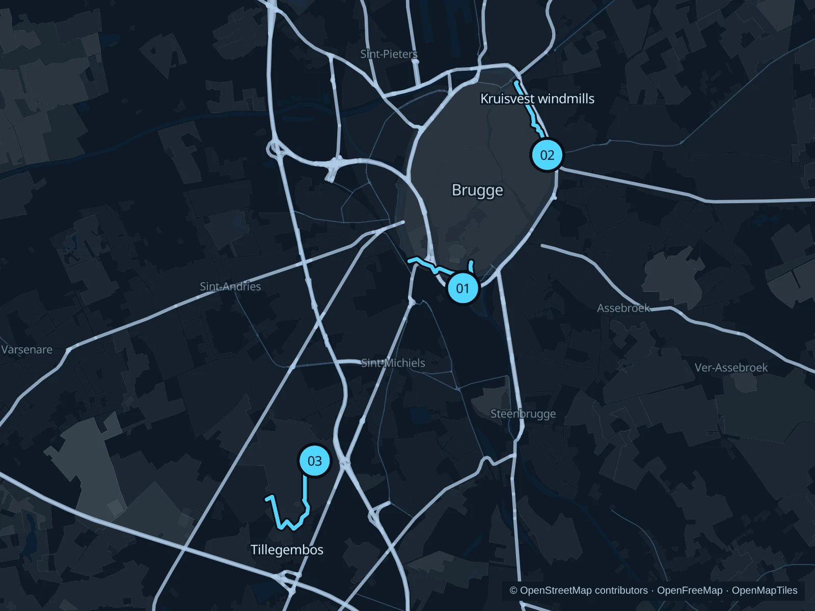
Minnewater and the eastern ramparts offer shorter runs close to the old town. Tillegembos adds a longer woodland option southwest of Bruges.

Get running directions on your phone

Find a route near your hotel

The numbers mark each start. Distances exclude the journey from your accommodation.

Map data: © OpenStreetMap contributors · OpenFreeMap · OpenMapTiles

Where to run in Bruges

Minnewater & Begijnenvest

Water, park paths and the southern ramparts, close to the railway station.
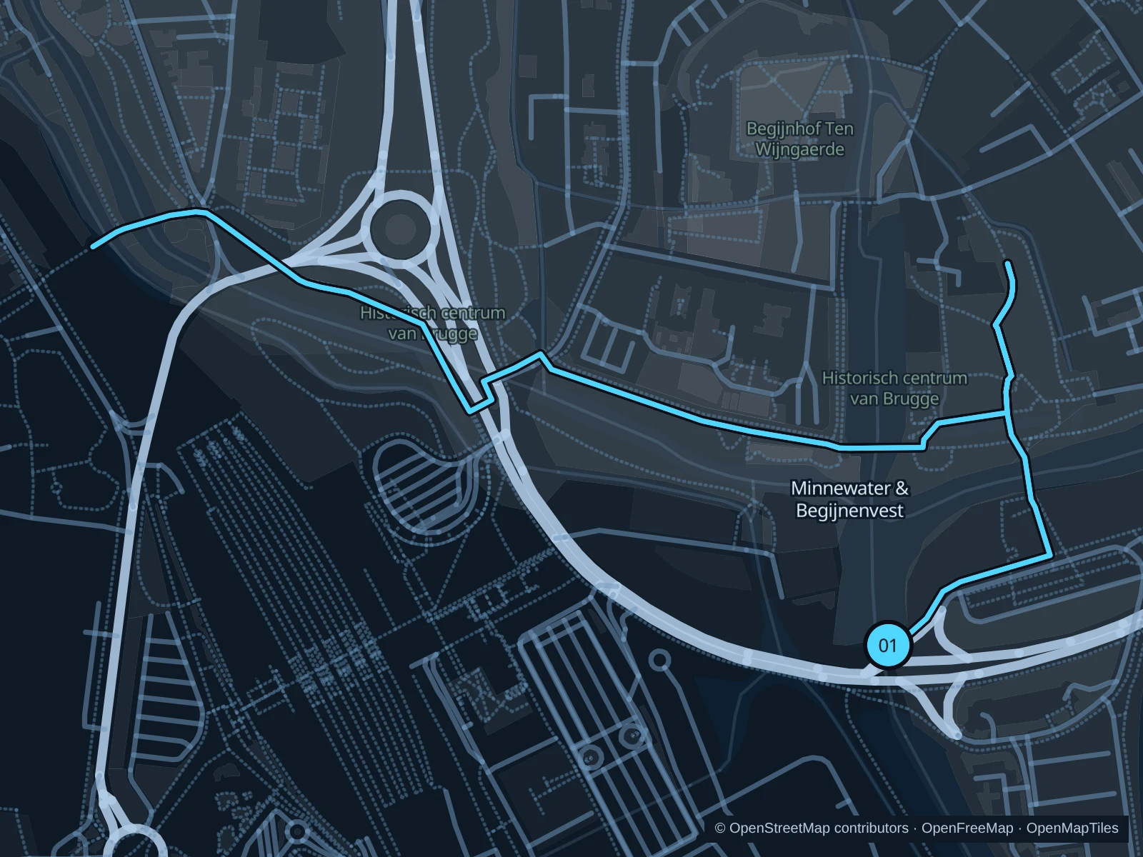
Map of the 3.0 km Minnewater & Begijnenvest run, with start and finish marked 01.
01 Out & backOpen full-size map
Approx. distance3.0 km
Underfoot

Park paths, paved and unpaved

01

Start here

Bargebrug park-side path.

Follow the saved paths towards Begijnenvest and Boeverievest, then return along the same route.

Getting there

Walk from Brugge station via the signed Minnewater approach.

Before you go

Festival fencing can change access; give swans space and slow down on busy footbridges.

Park / route information

Get running directions on your phone
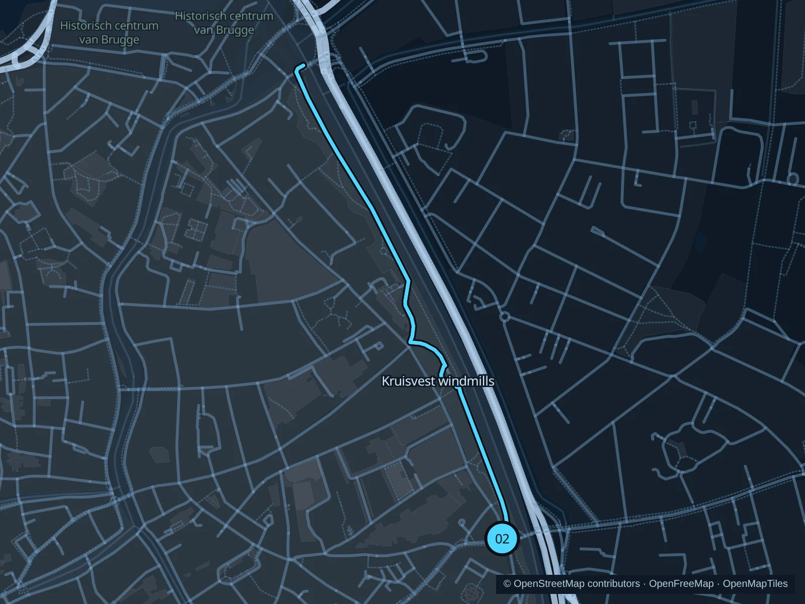
Kruisvest windmills

A green corridor above the canal, with mills rather than crowded shopping streets.

Map of the 2.2 km Kruisvest windmills run, with start and finish marked 02.
02 Out & backOpen full-size map
Approx. distance2.2 km
Underfoot

Gravel and compacted paths

02

Start here

Inside Kruispoort, on the rampart path.

Follow the saved paths towards Dampoort via the windmills, then return along the same route.

Getting there

Walk east along Langestraat to Kruispoort.

Before you go

Use the pedestrian paths; take care where streets cut through the ramparts.

Park / route information

Get running directions on your phone

Tillegembos

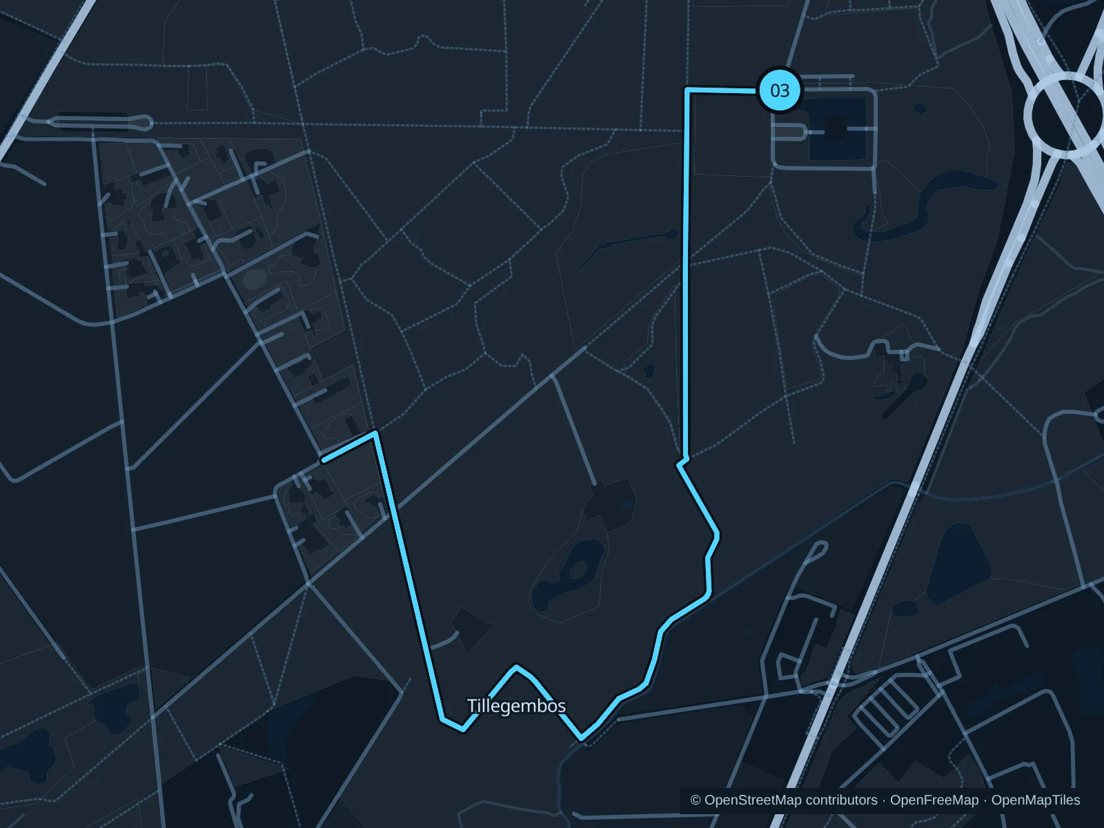
A woodland outing southwest of Bruges, around the Tillegem estate.

Map of the 5.8 km Tillegembos run, with start and finish marked 03.
03 Out & backOpen full-size map
Approx. distance5.8 km
Underfoot

Woodland paths

03

Start here

Public woodland path near Tillegem Castle.

Follow the mapped woodland paths through western and southern Tillegembos, then return along the same route.

Getting there

Travel to Sint-Michiels, then walk in from Tillegemstraat.

Before you go

Daylight access only. The province reports path works; follow diversions and avoid storm conditions.

Park / route information

Get running directions on your phone

Get running directions on your phone

Choose a distance and start at your hotel. RunFromHere plans a loop back to your door and guides you along it. Download the area’s map before you leave to use it offline.

The app generates its own routes from your chosen start; it doesn’t open the routes in this guide.

More places to run

Sources & route notes

Researched using the official visitor and park sources below; not checked on foot. Maps and GPX files use the same saved OpenStreetMap pedestrian paths. Distances are approximate. Check local notices for access, gate hours and diversions.

Researched