Skip to routes
RunFromHere
Get the app
English
Illustrated panorama of Boston in white linework.

Boston

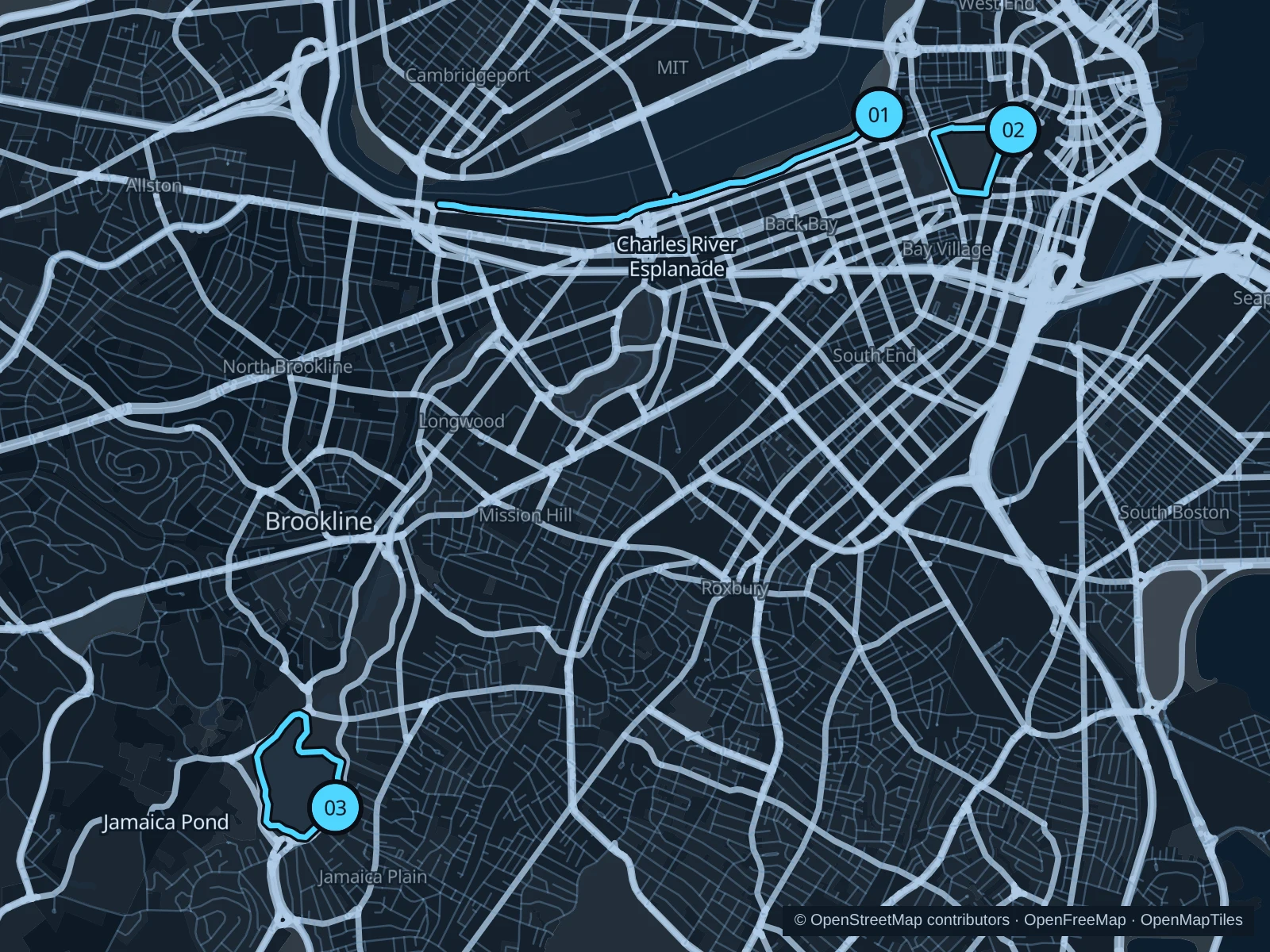
Boston gives visitors a longer Charles River run and two shorter park circuits. The Esplanade suits Back Bay and Beacon Hill, the Common fits downtown stays, and Jamaica Pond is worth a separate trip into the Emerald Necklace.

Get running directions on your phone

Find a route near your hotel

The numbers mark each start. Distances exclude the journey from your accommodation.

Map data: © OpenStreetMap contributors · OpenFreeMap · OpenMapTiles

Where to run in Boston

Charles River Esplanade

This longer riverside run follows the Boston bank of the Charles toward the university boathouses.
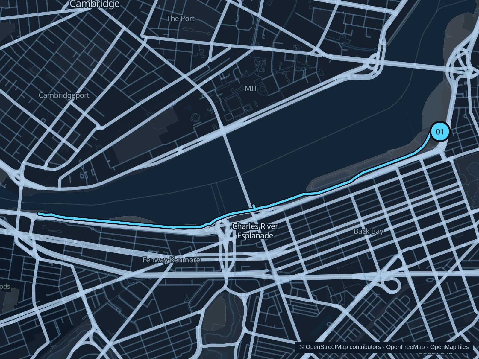
Map of the 6.4 km Charles River Esplanade run, with start and finish marked 01.
01 Out & backOpen full-size map
Approx. distance6.4 km
Underfoot

Paved paths shared with walkers and cyclists

01

Start here

On the public river path beside the Hatch Memorial Shell.

Follow the public Charles River paths west to the marked riverside turnaround northeast of Boston University Bridge, then return along the same path.

Getting there

Take the MBTA to Charles/MGH, cross the Frances Appleton Pedestrian Bridge and follow the park paths to the Hatch Shell.

Before you go

For park access, use a pedestrian bridge over Storrow Drive. Drinking fountains are seasonal, so carry water, and expect to share the paths with cyclists.

Park / route information

Get running directions on your phone
Boston Common

This short loop past lawns and monuments starts right by downtown’s main subway lines.

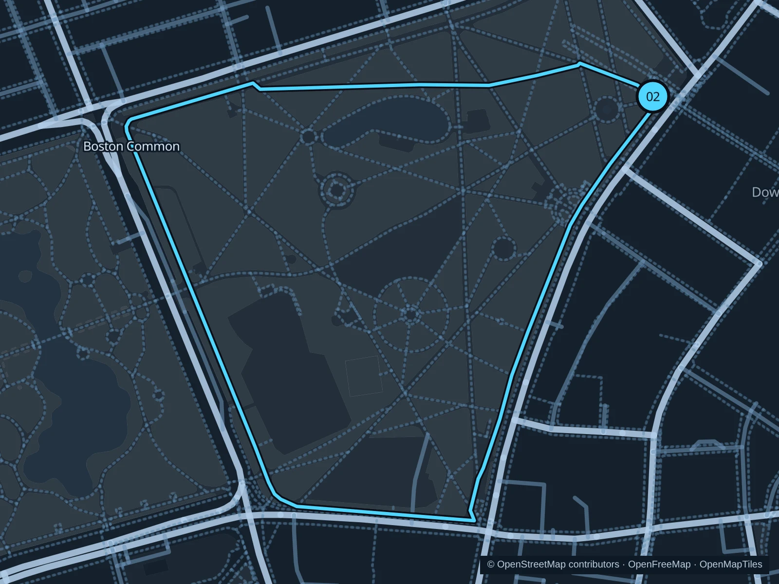
Map of the 1.6 km Boston Common run, with start and finish marked 02.
02 LoopOpen full-size map
Approx. distance1.6 km
Underfoot

Paved pedestrian paths

02

Start here

At the Boston Common entrance beside Park Street station.

Follow the public park paths around the Common’s open grounds, then return to Park Street.

Getting there

Take the MBTA Red or Green Line to Park Street and use the park entrance beside the station.

Before you go

Stay on the paths, keep clear of the crowds at Frog Pond, and follow any event barriers.

Park / route information

Get running directions on your phone

Jamaica Pond

A continuous public path around the pond makes a leafy loop well away from the river and downtown.

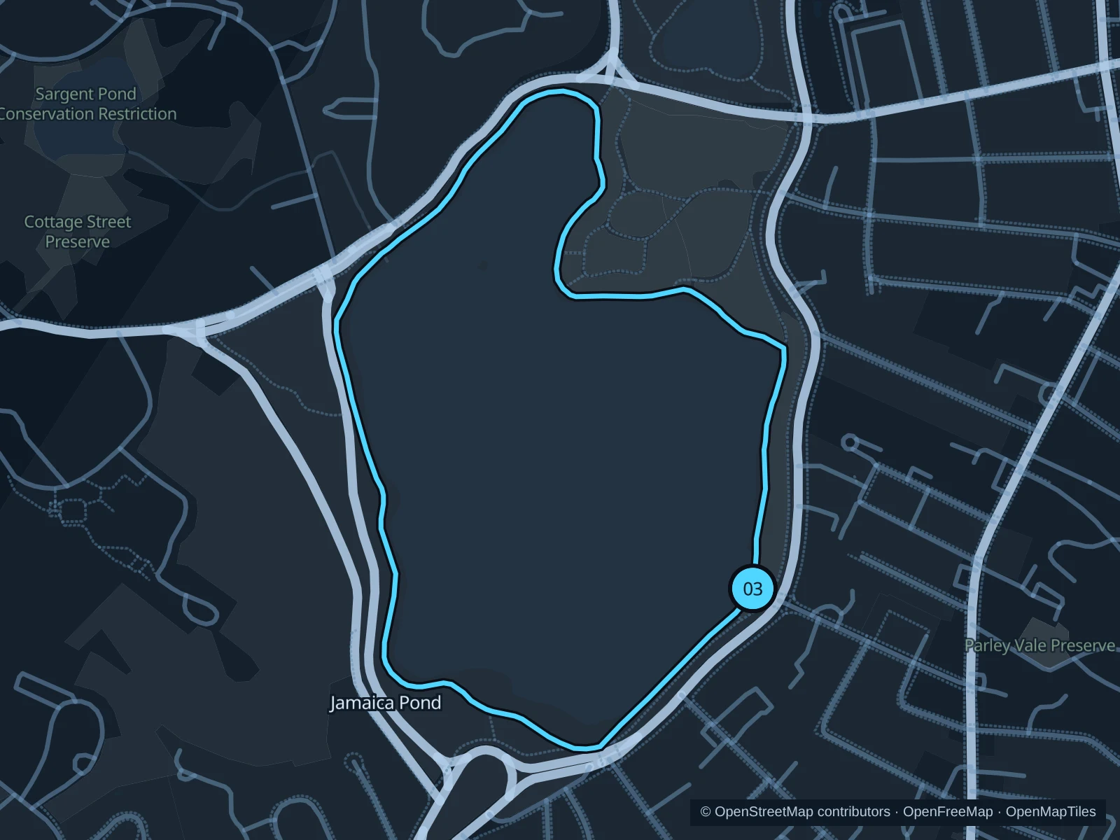
Map of the 2.3 km Jamaica Pond run, with start and finish marked 03.
03 LoopOpen full-size map
Approx. distance2.3 km
Underfoot

Paved pedestrian paths

03

Start here

On the public shoreline path beside Jamaica Pond Boathouse.

Follow the public path around Jamaica Pond and return to the boathouse.

Getting there

Take a local bus to Centre Street in Jamaica Plain, then walk west along Moraine Street to the park paths by the boathouse.

Before you go

Go in daylight and share the path with walkers and dogs. Events can make the boathouse area crowded.

Park / route information

Get running directions on your phone

Get running directions on your phone

Choose a distance and start at your hotel. RunFromHere plans a loop back to your door and guides you along it. Download the area’s map before you leave to use it offline.

The app generates its own routes from your chosen start; it doesn’t open the routes in this guide.

More places to run

The Riverway

A wooded corridor follows the Muddy River near Longwood; use marked crossings and watch your footing on uneven paths.

Park / route information

Harborwalk

Public waterfront segments connect wharves and parks. Check the current access map instead of assuming the entire waterfront is continuous.

Park / route information

Sources & route notes

Researched using the official visitor and park sources below; not checked on foot. Maps and GPX files use the same saved OpenStreetMap pedestrian paths. Distances are approximate. Check local notices for access, gate hours and diversions.

Researched