Skip to routes
RunFromHere
Get the app
English
Illustrated panorama of Bordeaux in white linework.

Bordeaux

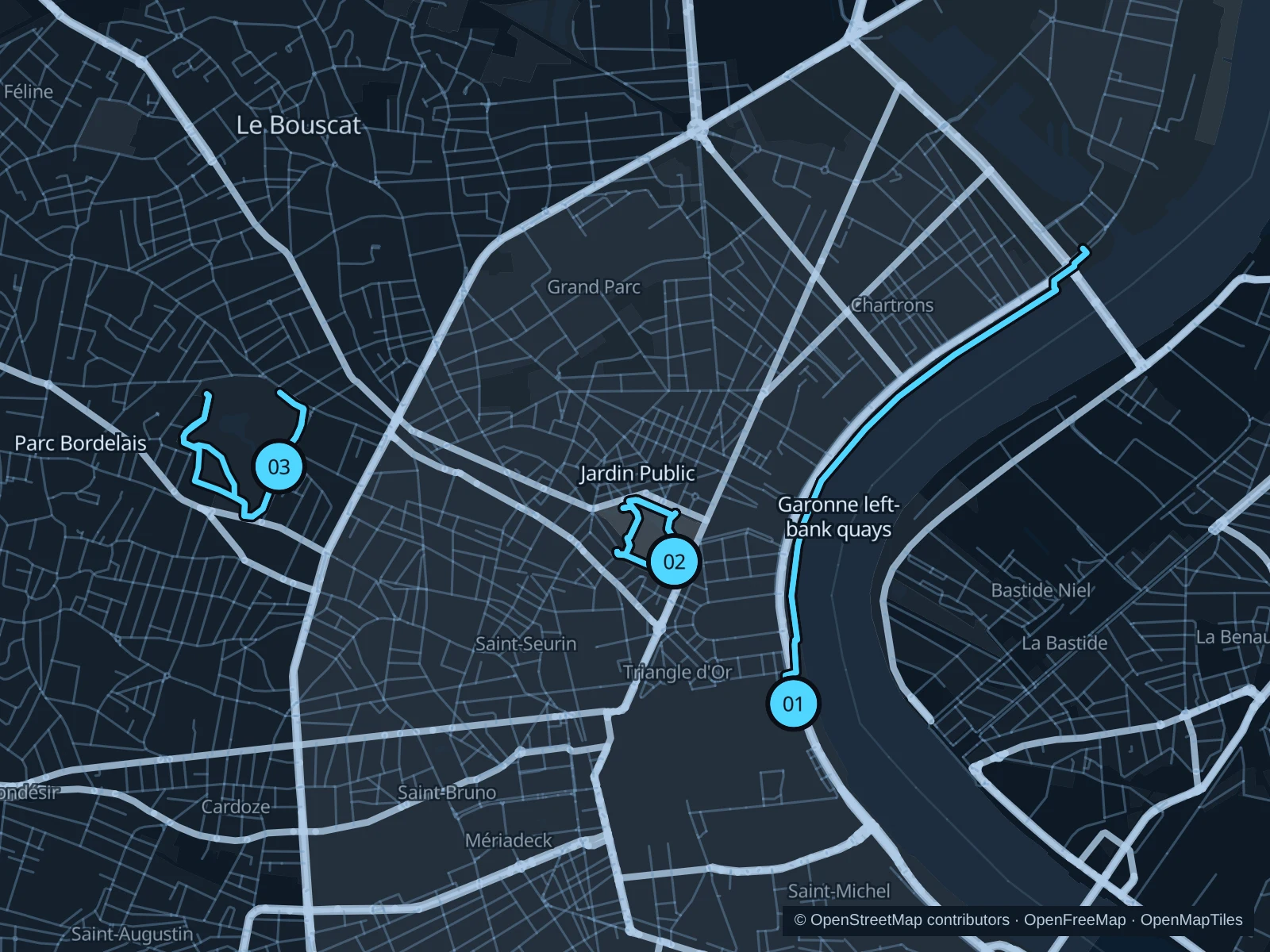
The Garonne quays are the easiest place to stretch a run beyond the center. Jardin Public fits a short morning run between visits, while Parc Bordelais gives you more room among trees in the northwest of the city. Choose the river for open views and the parks for shade.

Get running directions on your phone

Find a route near your hotel

The numbers mark each start. Distances exclude the journey from your accommodation.

Map data: © OpenStreetMap contributors · OpenFreeMap · OpenMapTiles

Where to run in Bordeaux

Garonne left-bank quays

An open river run from the Place de la Bourse waterfront north along the Chartrons quays.
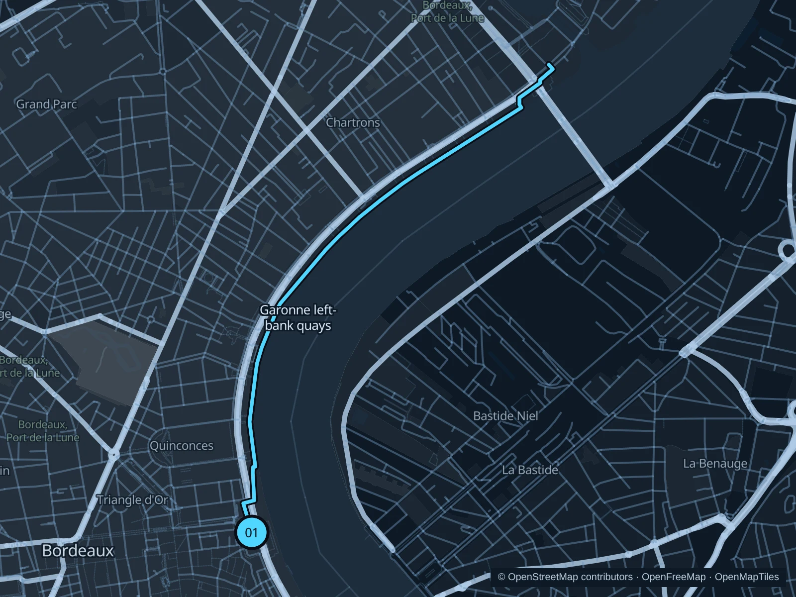
Map of the 5.6 km Garonne left-bank quays run, with start and finish marked 01.
01 Out & backOpen full-size map
Approx. distance5.6 km
Underfoot

Paved waterfront paths

01

Start here

Public riverside promenade opposite Place de la Bourse, just outside the Water Mirror.

Follow the mapped public quays north to the turnaround marked on the map, then return the same way. This route stays on the left bank.

Getting there

Use the Place de la Bourse tram stop or walk from the old center to the public riverside paths.

Before you go

Keep off the Water Mirror itself and leave room near cafés, skate areas and bike crossings. This exposed route has little continuous shade.

Park / route information

Get running directions on your phone
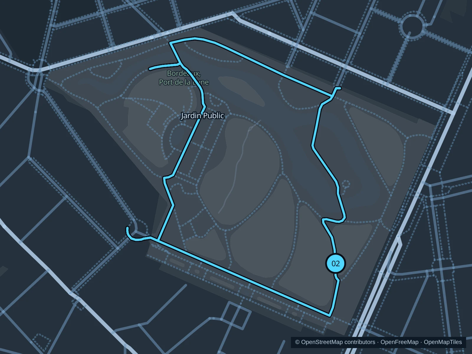
Jardin Public · two laps

Two gentle laps among old trees and lawns around the pond, close to the center.

Map of the 2.6 km Jardin Public run (two laps), with start and finish marked 02.
02 LoopOpen full-size map
Approx. distance2.6 km
Underfoot

Park paths, paved and unpaved

02

Start here

Public garden path in the southeast corner, just inside the Cours de Verdun entrance.

Run two laps of the outer public garden paths, returning to the Cours de Verdun side.

Getting there

Walk from Quinconces toward Cours de Verdun and the public garden entrance.

Before you go

Gate closing times change by season. Run gently near children, pond bridges and museum visitors; this route stays outside the museum.

Park / route information

Get running directions on your phone

Parc Bordelais

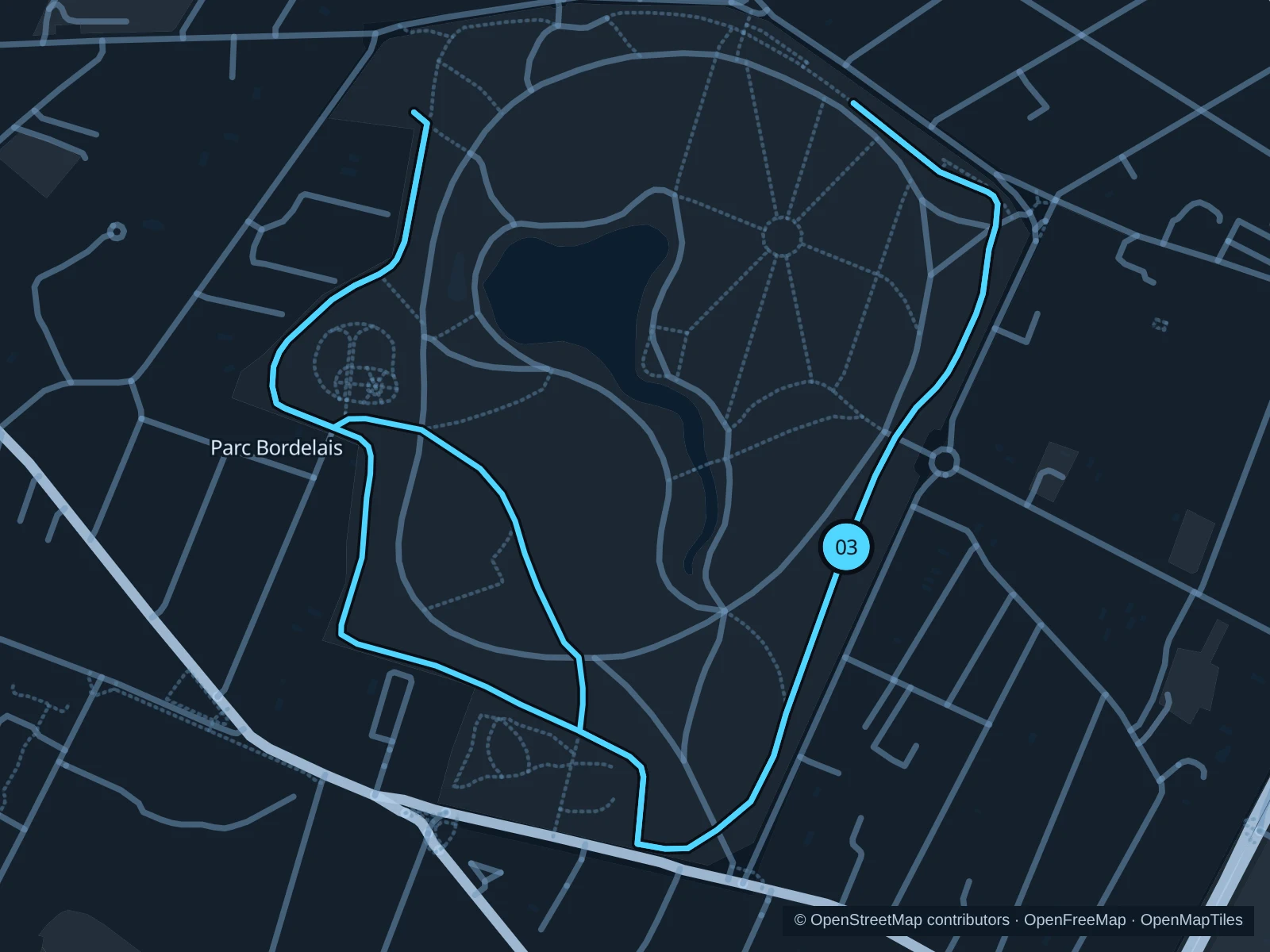
A leafy park circuit with more space for a steady run away from the central quays.

Map of the 3.1 km Parc Bordelais run, with start and finish marked 03.
03 LoopOpen full-size map
Approx. distance3.1 km
Underfoot

Park paths, paved and unpaved

03

Start here

Public southeastern park entrance on Avenue Carnot.

Circle the outer public paths around the lawns and pond area, returning to the southeastern entrance.

Getting there

Take a local bus toward Avenue Carnot and walk to the public park entrance.

Before you go

Check gate hours and give families room near animal enclosures and play areas. Tree roots and wet leaves can interrupt an otherwise easy rhythm.

Park / route information

Get running directions on your phone

Get running directions on your phone

Choose a distance and start at your hotel. RunFromHere plans a loop back to your door and guides you along it. Download the area’s map before you leave to use it offline.

The app generates its own routes from your chosen start; it doesn’t open the routes in this guide.

More places to run

Parc aux Angéliques

This right-bank riverside park is a greener alternative across from the historic center. Stick to its public paths and check river-level notices.

Park / route information

Jardin Botanique

Outdoor paths around Esplanade Linné make for a short garden run on the right bank. Check gate hours and stay out of the greenhouses, which have separate access.

Park / route information

Sources & route notes

Researched using the official visitor and park sources below; not checked on foot. Maps and GPX files use the same saved OpenStreetMap pedestrian paths. Distances are approximate. Check local notices for access, gate hours and diversions.

Researched