Skip to routes
RunFromHere
Get the app
English
Illustrated panorama of Bogotá in white linework.

Bogotá

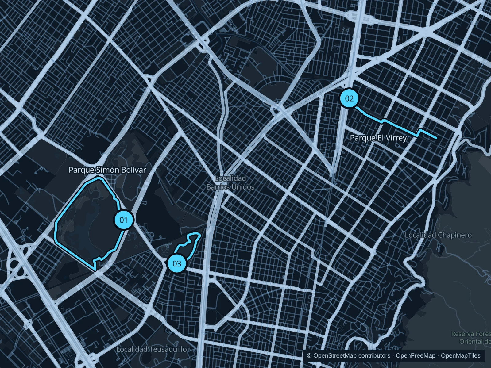
Bogotá’s parks offer room to run away from the busy streets. Simón Bolívar has the broadest circuit here, El Virrey follows a narrow green corridor through the northern hotel districts, and Los Novios adds a shorter lake outing. At roughly 2,600 meters, start gently while you get used to the altitude.

Get running directions on your phone

Find a route near your hotel

The numbers mark each start. Distances exclude the journey from your accommodation.

Map data: © OpenStreetMap contributors · OpenFreeMap · OpenMapTiles

Where to run in Bogotá

Parque Simón Bolívar

A larger park circuit around lawns, wooded sections and the lake, with fewer street crossings than a run around the surrounding blocks.
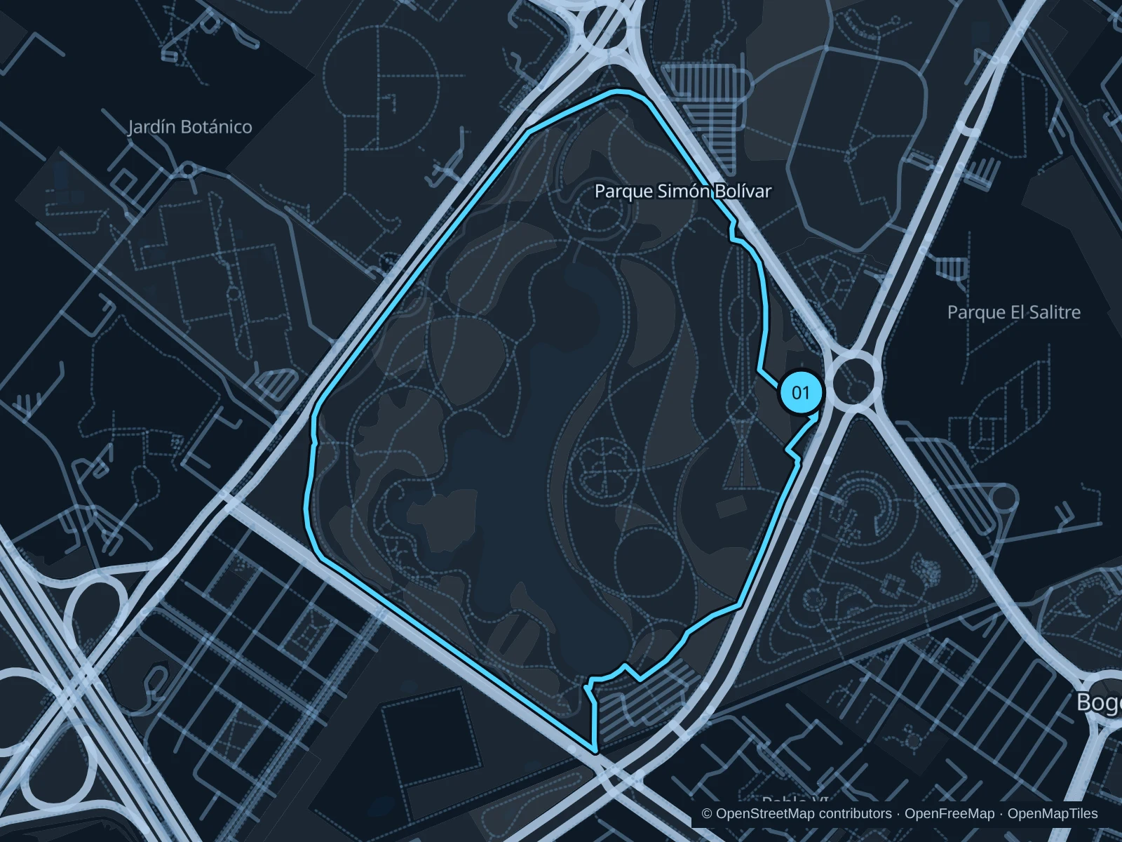
Map of the 4.0 km Parque Simón Bolívar run, with start and finish marked 01.
01 LoopOpen full-size map
Approx. distance4.0 km
Underfoot

Compacted gravel and paved park paths

01

Start here

At the public park entrance on Carrera 60, beside the eastern park paths.

Follow the public paths around the park’s outer lawns and wooded edges, returning to the eastern entrance. Use marked crossings where the route meets access roads.

Getting there

Take a bus towards the Calle 63 / Carrera 60 intersection, then use the signed public park entrance.

Before you go

Concerts can fence off large sections of the park. Check the gates and event notices, and stay on running paths rather than crossing planted areas.

Park / route information

Get running directions on your phone
Parque El Virrey

A tree-lined linear park beside a stream, close to northern hotels and restaurants. The narrow corridor makes it easy to run out and back.

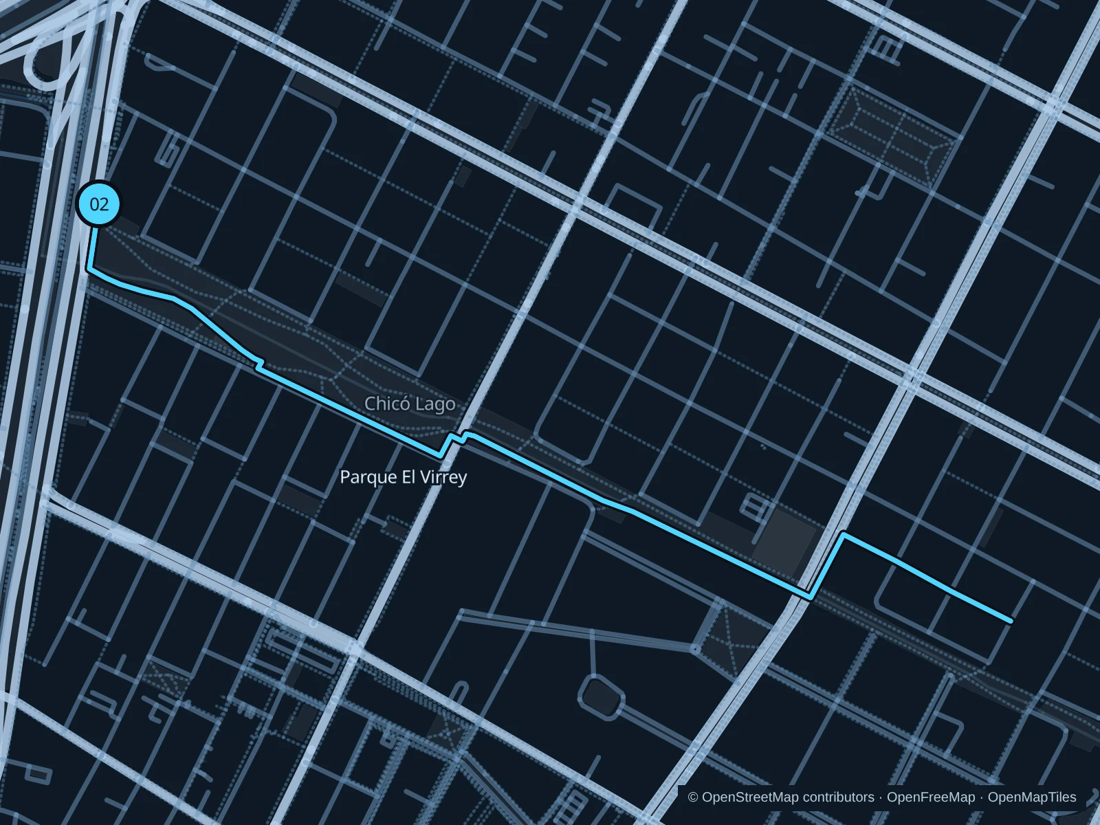
Map of the 3.4 km Parque El Virrey run, with start and finish marked 02.
02 Out & backOpen full-size map
Approx. distance3.4 km
Underfoot

Paved pedestrian paths and street crossings

02

Start here

At the western public park paths near Autopista Norte and El Virrey station.

Follow the park’s pedestrian corridor east toward Carrera 7, then retrace it to the western entrance.

Getting there

Walk from Zona T, or take TransMilenio to El Virrey and approach on public sidewalks.

Before you go

Roads divide the park into sections. Use marked crossings, leave cycle lanes to bikes and choose daylight, as recommended by the tourism authority.

Park / route information

Get running directions on your phone

Parque de los Novios

A shorter lake-and-garden outing in the wider Simón Bolívar park complex, with boating and picnic areas.

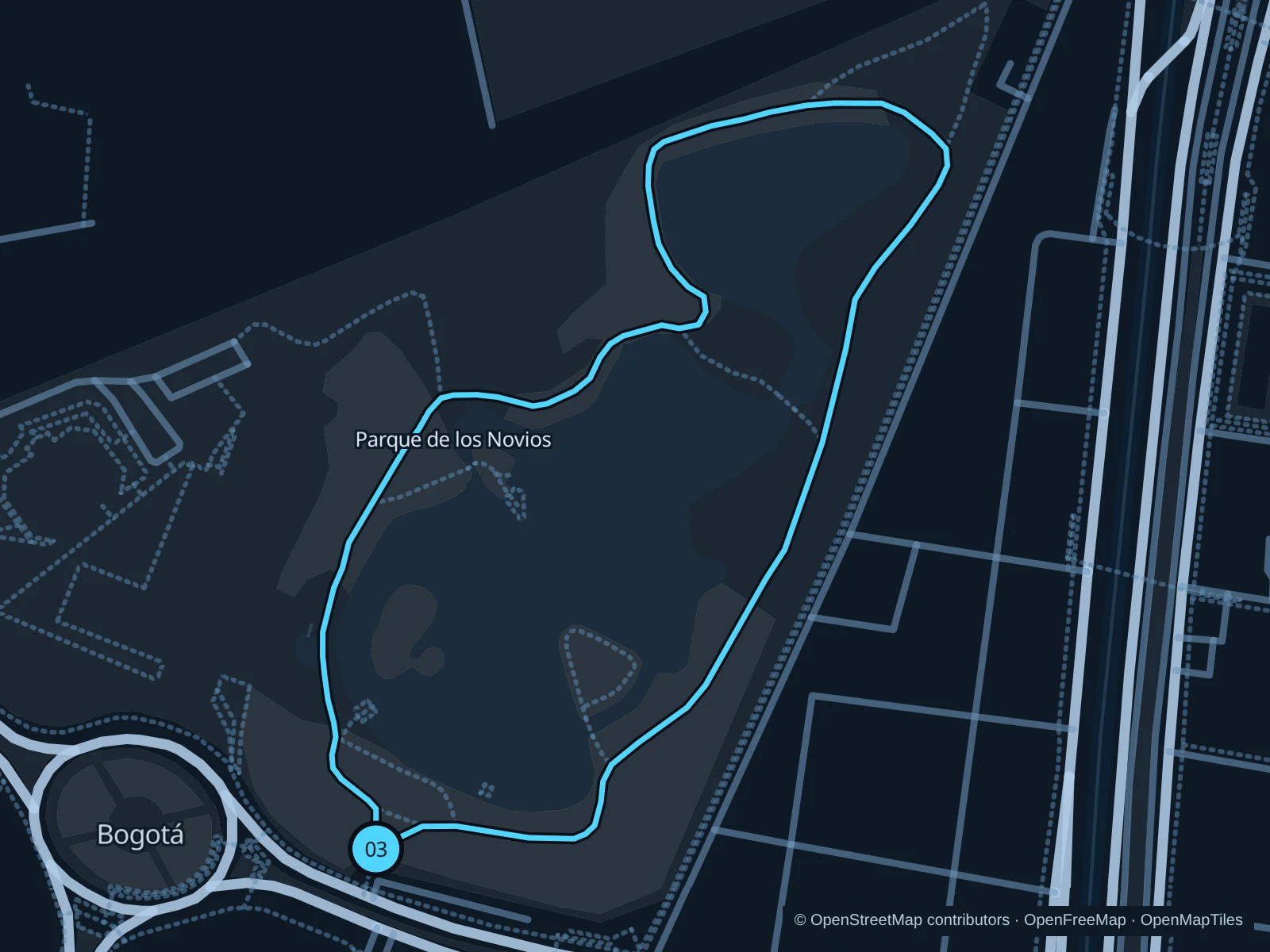
Map of the 1.4 km Parque de los Novios run, with start and finish marked 03.
03 LoopOpen full-size map
Approx. distance1.4 km
Underfoot

Park footpaths with varying surfaces

03

Start here

At the public park entrance from Calle 63.

Follow the public paths around the lake and northern lawns, then return to the Calle 63 entrance.

Getting there

Use local buses on Calle 63 and walk to the signed park entrance.

Before you go

Stay clear of boat launches and booked picnic shelters. Follow posted hours; the park’s visitor rules prohibit pets, and events may change access.

Park / route information

Get running directions on your phone

Get running directions on your phone

Choose a distance and start at your hotel. RunFromHere plans a loop back to your door and guides you along it. Download the area’s map before you leave to use it offline.

The app generates its own routes from your chosen start; it doesn’t open the routes in this guide.

More places to run

Parque Metropolitano El Tunal

A large park in the south of the city with sports facilities and running paths. Plan how you’ll get there rather than adding a long run along the roads.

Park / route information

Parque Timiza

Another park with a lake, in Kennedy, that the city tourism office recommends for running. Check current entrances and the journey from your accommodation.

Park / route information

Sources & route notes

Researched using the official visitor and park sources below; not checked on foot. Maps and GPX files use the same saved OpenStreetMap pedestrian paths. Distances are approximate. Check local notices for access, gate hours and diversions.

Researched