Skip to routes
RunFromHere
Get the app
English
Illustrated panorama of Auckland in white linework.

Auckland

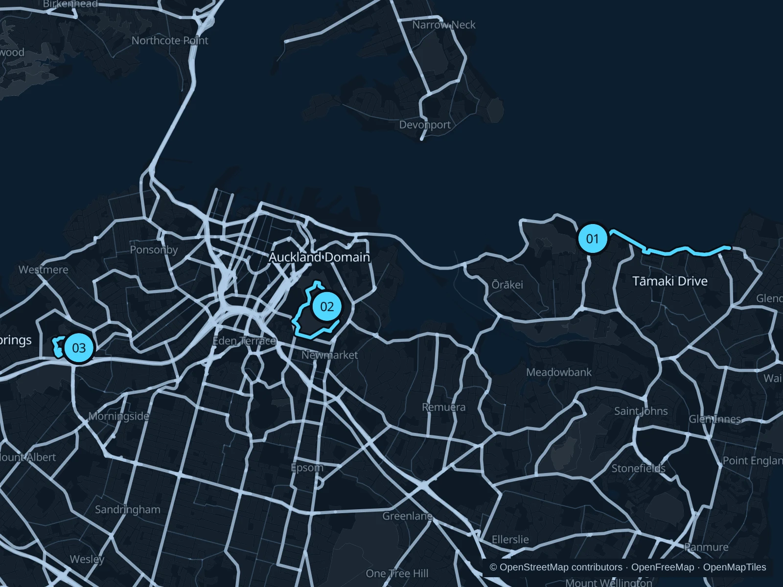
Auckland’s eastern bays give you harbour views without a summit climb. Tāmaki Drive is the longer coastal option; the Domain and Western Springs offer shorter park runs on either side of the centre. Getting to the start isn’t included in the saved routes.

Get running directions on your phone

Find a route near your hotel

The numbers mark each start. Distances exclude the journey from your accommodation.

Map data: © OpenStreetMap contributors · OpenFreeMap · OpenMapTiles

Where to run in Auckland

Tāmaki Drive · Mission Bay to St Heliers

A coastal run between beach neighbourhoods, looking across the harbour towards Rangitoto. The waterfront stays close to a busy road.
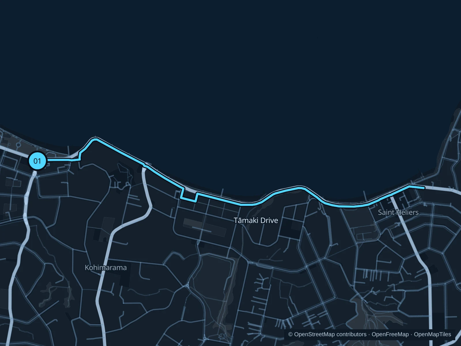
Map of the 5.7 km Tāmaki Drive · Mission Bay to St Heliers run, with start and finish marked 01.
01 Out & backOpen full-size map
Approx. distance5.7 km
Underfoot

Sealed waterfront paths and footpaths

01

Start here

On the public seafront path beside Selwyn Reserve at Mission Bay.

Follow the coastal footpath east through Kohimarama to St Heliers beach, then return along the same path.

Getting there

Take a waterfront bus to Mission Bay and walk across the reserve to the seafront.

Before you go

Use the pedestrian path beside the cycleway. The bays are exposed to sun and wind; take care at driveways and beach access points.

Park / route information

Get running directions on your phone
Pukekawa / Auckland Domain

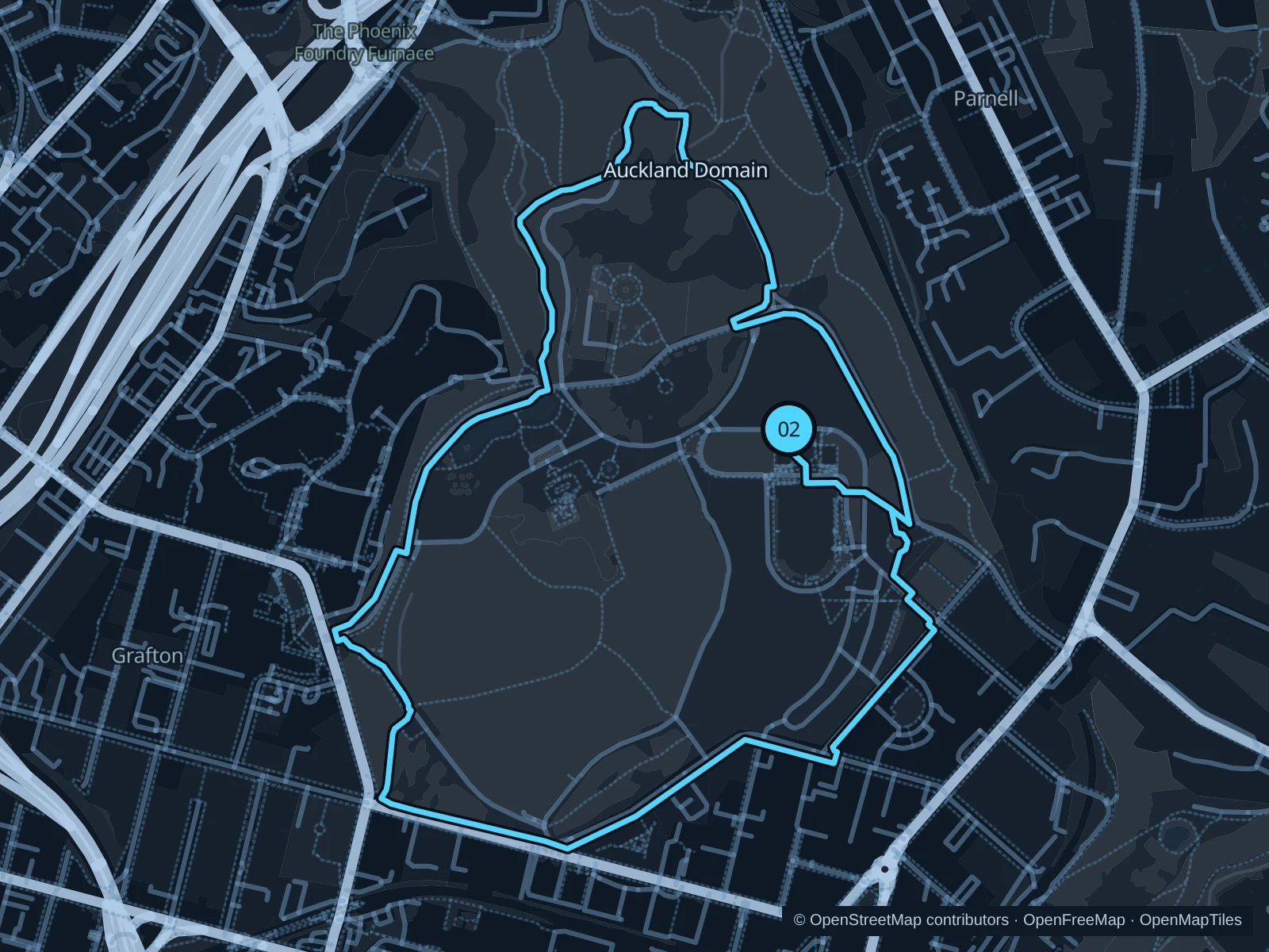
Open lawns and mature trees surround the museum hill. It’s a park run with gentle climbs, close to the city centre.

Map of the 3.7 km Pukekawa / Auckland Domain run, with start and finish marked 02.
02 LoopOpen full-size map
Approx. distance3.7 km
Underfoot

Park footpaths, mixed surfaces and some steps

02

Start here

At the public path north of Auckland War Memorial Museum, near the Cenotaph forecourt.

Follow the northern and western park paths around the lawns, then return towards the museum on the southern side.

Getting there

Walk uphill from Parnell station into the Domain towards the museum.

Before you go

The Cenotaph is a place of remembrance: keep respectfully clear of ceremonies. Stay on the paths around the sports pitches, rather than running across them, and watch the road crossings.

Park / route information

Get running directions on your phone

Western Springs Lakeside / Te Wai Ōrea

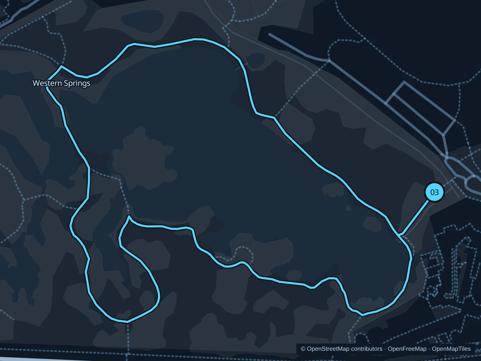
A short lakeside outing by the zoo and MOTAT, with waterbirds and tree-lined paths rather than city traffic.

Map of the 1.7 km Western Springs Lakeside / Te Wai Ōrea run, with start and finish marked 03.
03 LoopOpen full-size map
Approx. distance1.7 km
Underfoot

Sealed lake paths and connecting park paths

03

Start here

At the lakeside path near the Stadium Road entrance.

Circle the lake on the public park paths, returning to the Stadium Road side.

Getting there

Take a Great North Road bus to the MOTAT area, then use the signed park entrance towards the lake.

Before you go

Give swans and other birds space. Check park notices after storms and avoid muddy shortcuts or closed woodland tracks.

Park / route information

Get running directions on your phone

Get running directions on your phone

Choose a distance and start at your hotel. RunFromHere plans a loop back to your door and guides you along it. Download the area’s map before you leave to use it offline.

The app generates its own routes from your chosen start; it doesn’t open the routes in this guide.

More places to run

Cornwall Park

A larger park around Maungakiekie / One Tree Hill, with open fields and hillier options away from the waterfront. Check gates and keep clear of grazing animals.

Park / route information

Wynyard Quarter

If you’re staying centrally, the harbour promenades around Silo Park offer a shorter outing. Expect street crossings, restaurants and working-waterfront activity.

Park / route information

Sources & route notes

Researched using the official visitor and park sources below; not checked on foot. Maps and GPX files use the same saved OpenStreetMap pedestrian paths. Distances are approximate. Check local notices for access, gate hours and diversions.

Researched