Skip to routes
RunFromHere
Get the app
English
Illustrated panorama of Athens in white linework.

Athens

Athens rewards an early start when the weather is hot. The National Garden and Zappeion are close to the centre; Philopappou adds rougher paths and climbing. For a sea breeze and a longer line, travel down to the Faliro waterfront.

Get running directions on your phone

Find a route near your hotel

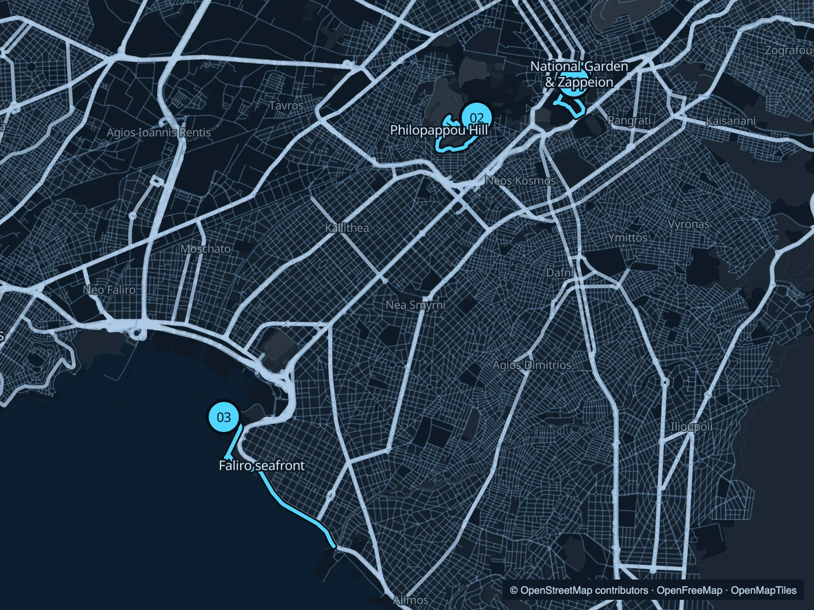
The numbers mark each start. Distances exclude the journey from your accommodation.

Map data: © OpenStreetMap contributors · OpenFreeMap · OpenMapTiles

Where to run in Athens

National Garden & Zappeion

A small network of shaded garden paths, followed by the more open grounds around Zappeion.
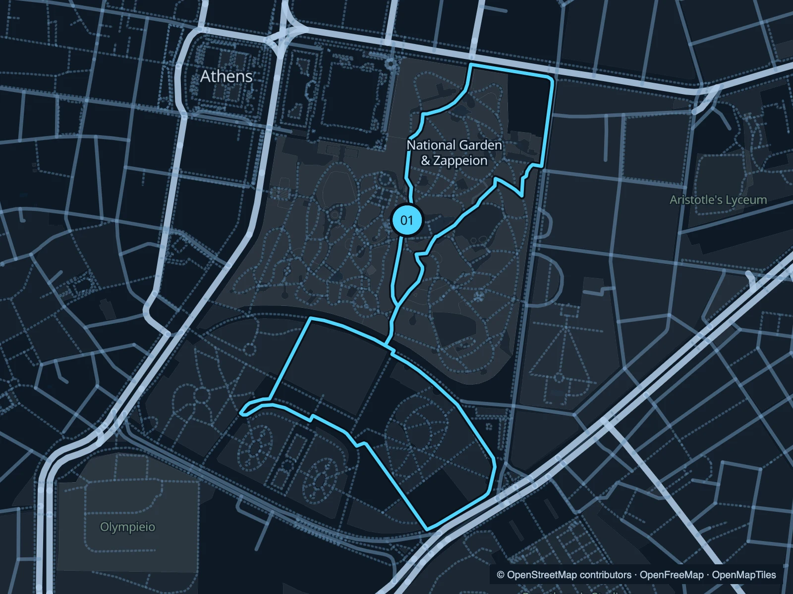
Map of the 2.3 km National Garden & Zappeion run, with start and finish marked 01.
01 LoopOpen full-size map
Approx. distance2.3 km
Underfoot

Mixed garden paths and paving

01

Start here

At the central garden paths above the Zappeion side.

Loop through the National Garden, continue around the public Zappeion paths and return.

Getting there

Enter from the Syntagma side and walk to the numbered start inside the garden.

Before you go

The National Garden closes at night. Check the gates before relying on it for a late run.

Park / route information

Get running directions on your phone
Philopappou Hill

Rocky paths and a hill circuit beside the Acropolis area. Choose this for a slower run with changes underfoot.

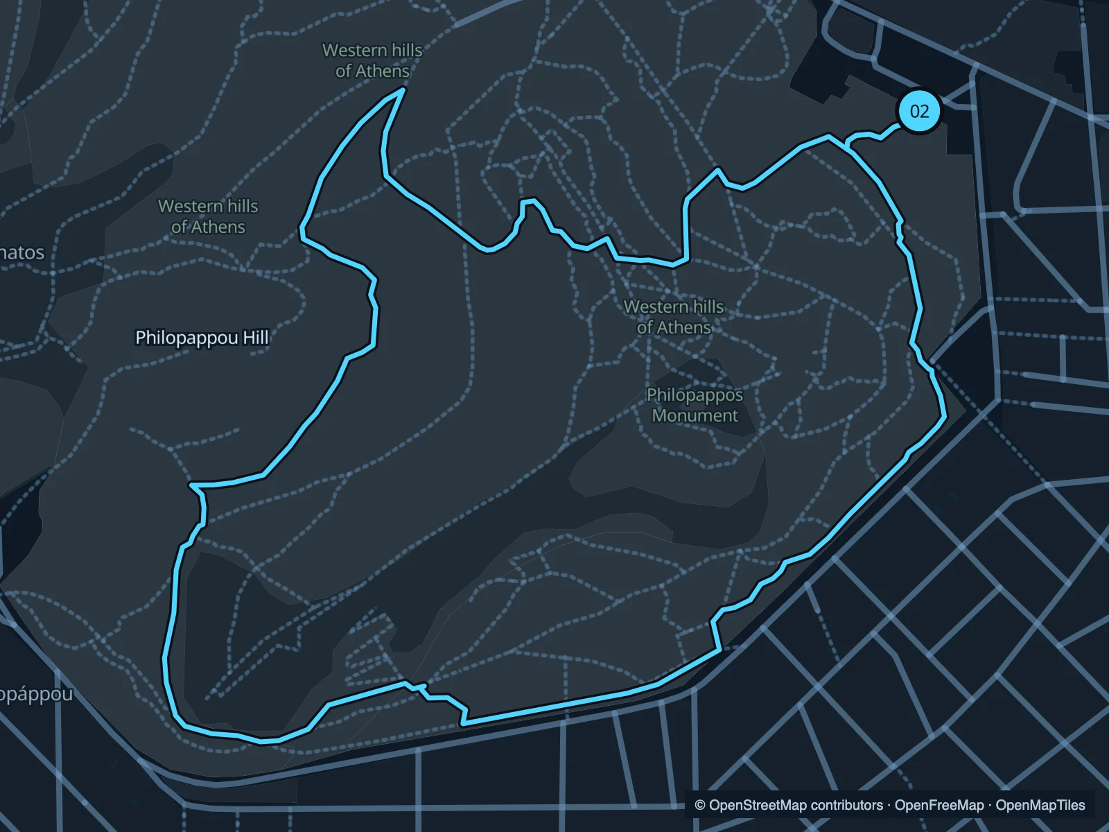
Map of the 2.1 km Philopappou Hill run, with start and finish marked 02.
02 LoopOpen full-size map
Approx. distance2.1 km
Underfoot

Uneven paths, stone and dirt; hills

02

Start here

On the public hill paths near the northeastern approach from Dionysiou Areopagitou.

Loop west and south around the hill paths, returning along the eastern side.

Getting there

Walk from Acropoli or Thissio towards the public hill entrances.

Before you go

Wear shoes with grip and walk rough sections if needed. This is not a route through the ticketed Acropolis.

Park / route information

Get running directions on your phone

Faliro seafront

An open coastal run from the Flisvos area towards the beaches southeast. The sea replaces the centre’s tight street grid.

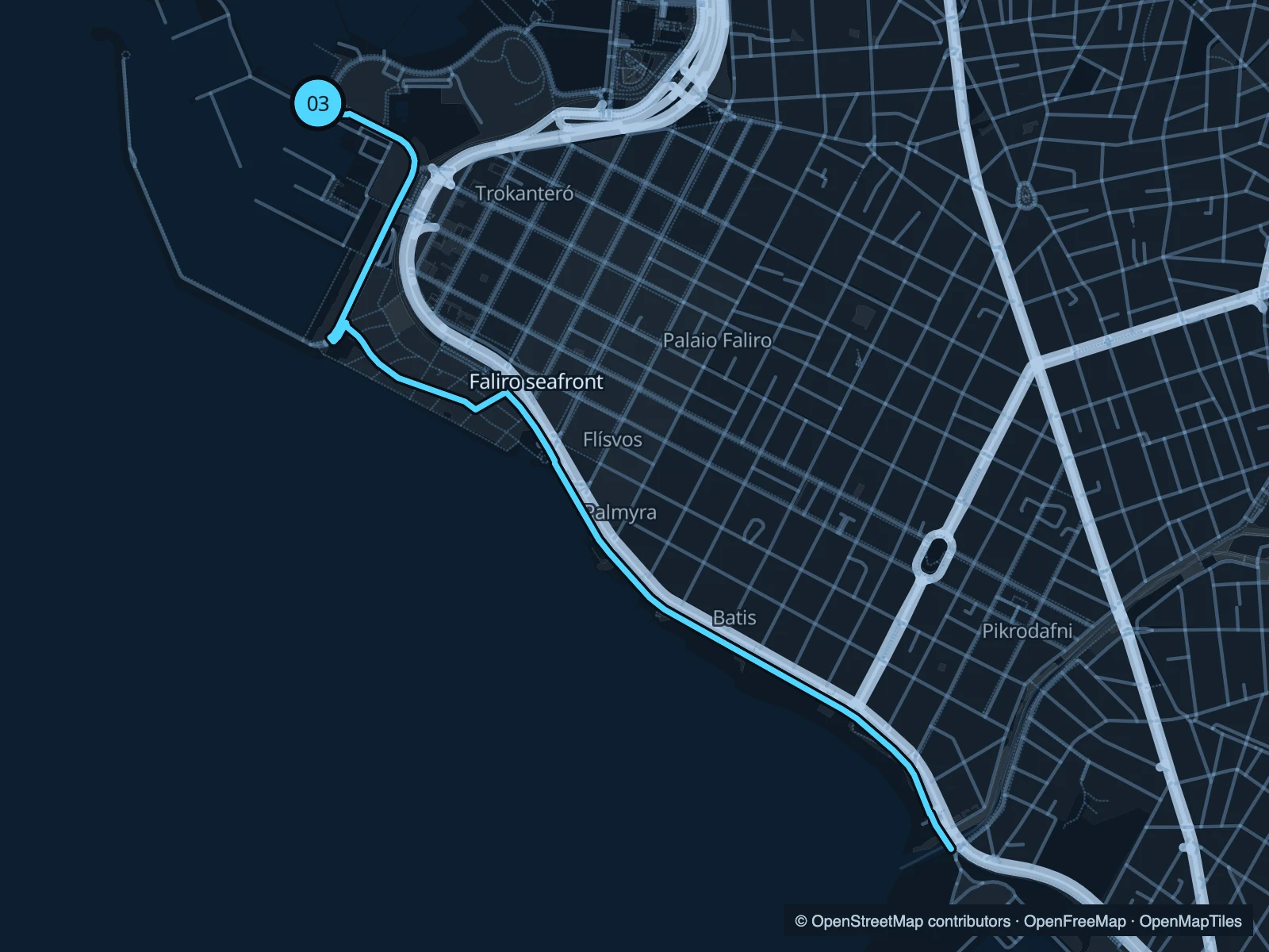
Map of the 5.6 km Faliro seafront run, with start and finish marked 03.
03 Out & backOpen full-size map
Approx. distance5.6 km
Underfoot

Paved coastal promenade

03

Start here

On the public waterfront beside the Flisvos marina area.

Follow the public coast path southeast and return at the marked point.

Getting there

Travel to the Flisvos waterfront by tram or local bus, then walk to the start.

Before you go

Marina approaches and beach entrances can be busy. Stay on the public promenade and use pedestrian crossings.

Park / route information

Get running directions on your phone

Get running directions on your phone

Choose a distance and start at your hotel. RunFromHere plans a loop back to your door and guides you along it. Download the area’s map before you leave to use it offline.

The app generates its own routes from your chosen start; it doesn’t open the routes in this guide.

More places to run

Panathenaic Stadium surroundings

Use the public routes around the stadium area; do not assume the main stadium track is open for running.

Park / route information

Sources & route notes

Researched using the official visitor and park sources below; not checked on foot. Maps and GPX files use the same saved OpenStreetMap pedestrian paths. Distances are approximate. Check local notices for access, gate hours and diversions.

Researched