Skip to routes
RunFromHere
Get the app
English
Illustrated panorama of Antwerp in white linework.

Antwerp

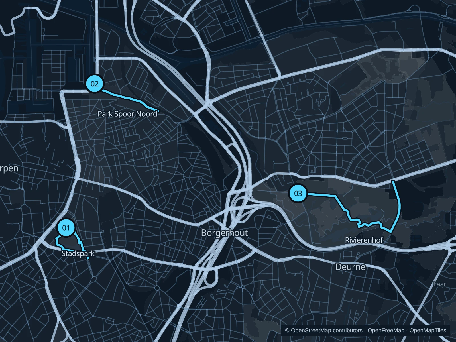
Stadspark is the compact option near Central Station. Park Spoor Noord offers open space north of the centre, while Rivierenhof gives you a longer run past ponds and along tree-lined avenues.

Get running directions on your phone

Find a route near your hotel

The numbers mark each start. Distances exclude the journey from your accommodation.

Map data: © OpenStreetMap contributors · OpenFreeMap · OpenMapTiles

Where to run in Antwerp

Stadspark

A short run around the lawns and pond, handy before a train or meeting.
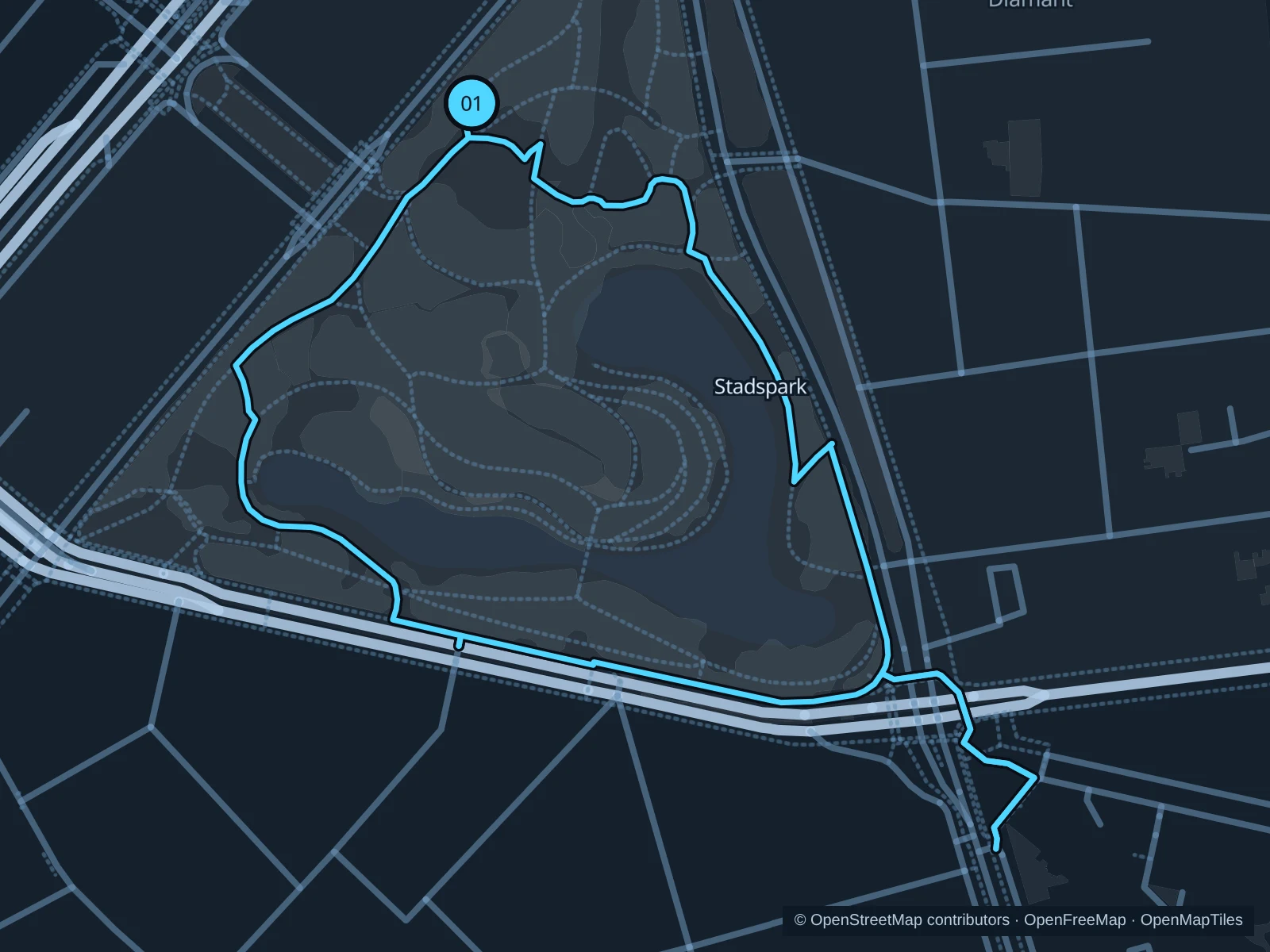
Map of the 1.7 km Stadspark run, with start and finish marked 01.
01 LoopOpen full-size map
Approx. distance1.7 km
Underfoot

Park paths, paved and unpaved

01

Start here

Rubenslei park entrance opposite Louiza-Marialei.

Circle the park paths beside the pond and return to Rubenslei.

Getting there

Walk from Antwerpen-Centraal via Quinten Matsijslei.

Before you go

The city reports footpath works around the park. Follow entrance signs and any temporary fencing.

Park / route information

Get running directions on your phone
Park Spoor Noord

Open lawns and former railway land make a different setting from the historic centre.

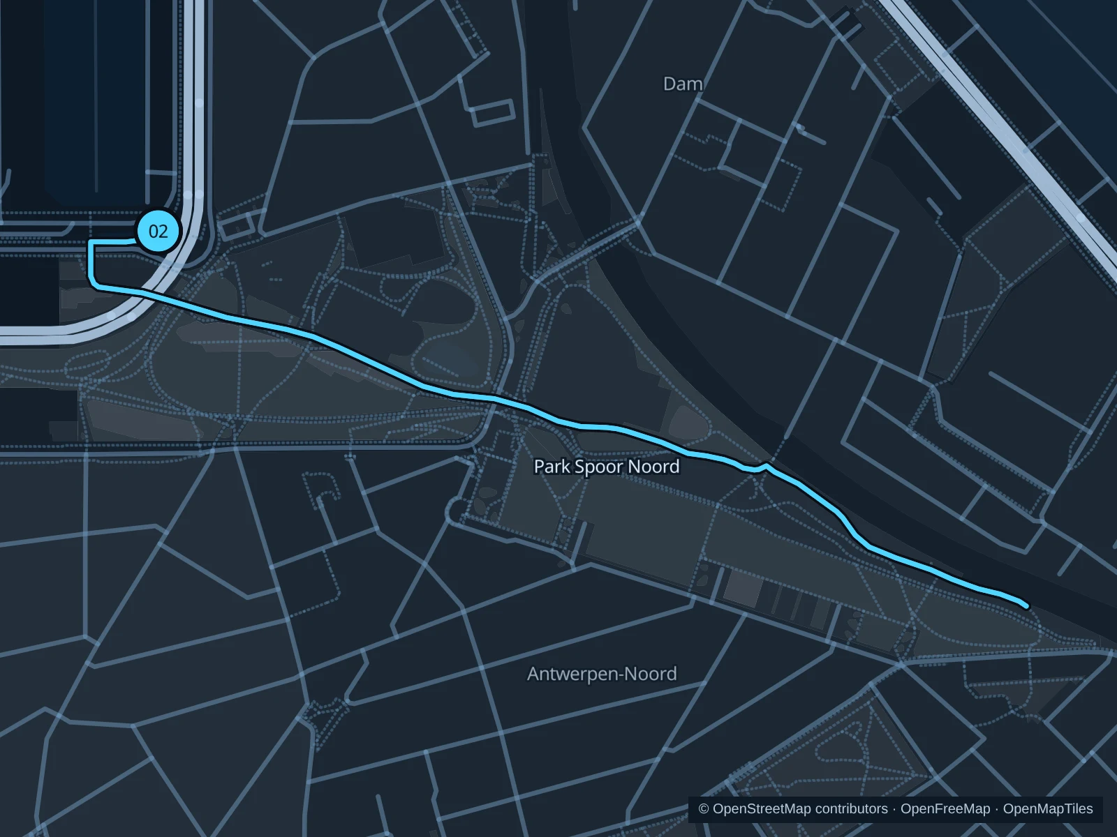
Map of the 2.3 km Park Spoor Noord run, with start and finish marked 02.
02 Out & backOpen full-size map
Approx. distance2.3 km
Underfoot

Paved paths

02

Start here

Western park paths near Parkbrug.

Follow the mapped route towards the eastern sports area, then return the same way.

Getting there

Approach on foot from Eilandje via Parkbrug.

Before you go

Watch for bicycles at entrances and children near play areas; the open ground has little shade.

Park / route information

Get running directions on your phone

Rivierenhof

The longest run in this guide follows estate paths among ponds, lawns and trees.

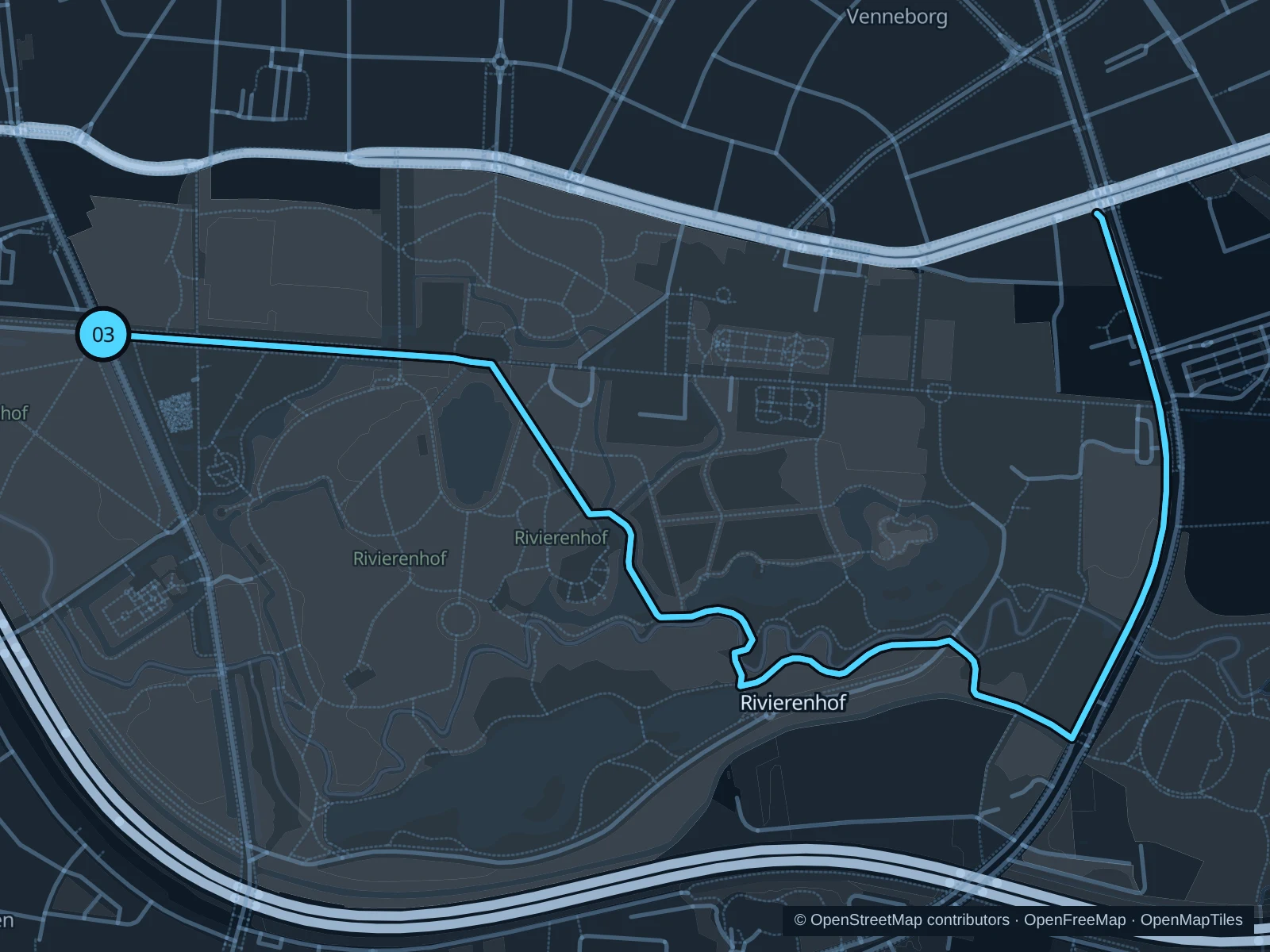
Map of the 5.0 km Rivierenhof run, with start and finish marked 03.
03 Out & backOpen full-size map
Approx. distance5.0 km
Underfoot

Park paths, paved and unpaved

03

Start here

Park path just inside the western entrance from Turnhoutsebaan.

Follow the mapped route along the paths beside the castle towards the eastern part of the park, then return the same way.

Getting there

Use a tram or bus to Deurne and walk in from Turnhoutsebaan.

Before you go

Concerts can change access near the open-air theatre. Follow pedestrian paths around sports grounds.

Park / route information

Get running directions on your phone

Get running directions on your phone

Choose a distance and start at your hotel. RunFromHere plans a loop back to your door and guides you along it. Download the area’s map before you leave to use it offline.

The app generates its own routes from your chosen start; it doesn’t open the routes in this guide.

More places to run

Nachtegalenpark

The linked parks south of the centre offer more woodland running; the Middelheim Museum grounds have their own opening hours.

Park / route information

Sources & route notes

Researched using the official visitor and park sources below; not checked on foot. Maps and GPX files use the same saved OpenStreetMap pedestrian paths. Distances are approximate. Check local notices for access, gate hours and diversions.

Researched