Skip to routes
RunFromHere
Get the app
English
Illustrated panorama of Alicante in white linework.

Alicante

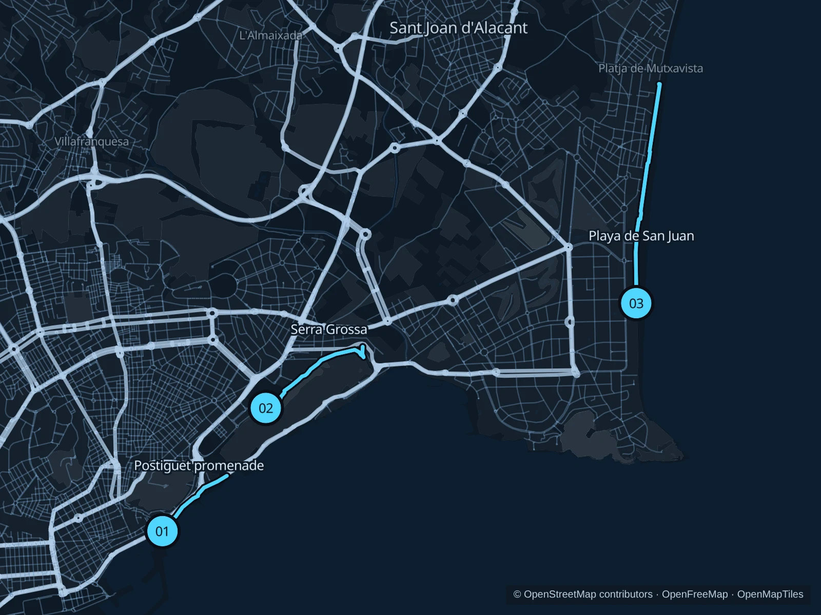
Run by Postiguet if you are staying in the center, choose the long San Juan promenade for beach-hotel stays, or climb onto Serra Grossa for a rougher hill outing.

Get running directions on your phone

Find a route near your hotel

The numbers mark each start. Distances exclude the journey from your accommodation.

Map data: © OpenStreetMap contributors · OpenFreeMap · OpenMapTiles

Where to run in Alicante

Postiguet & Paseo de Gómiz

A short central seafront run below Santa Bárbara Castle.
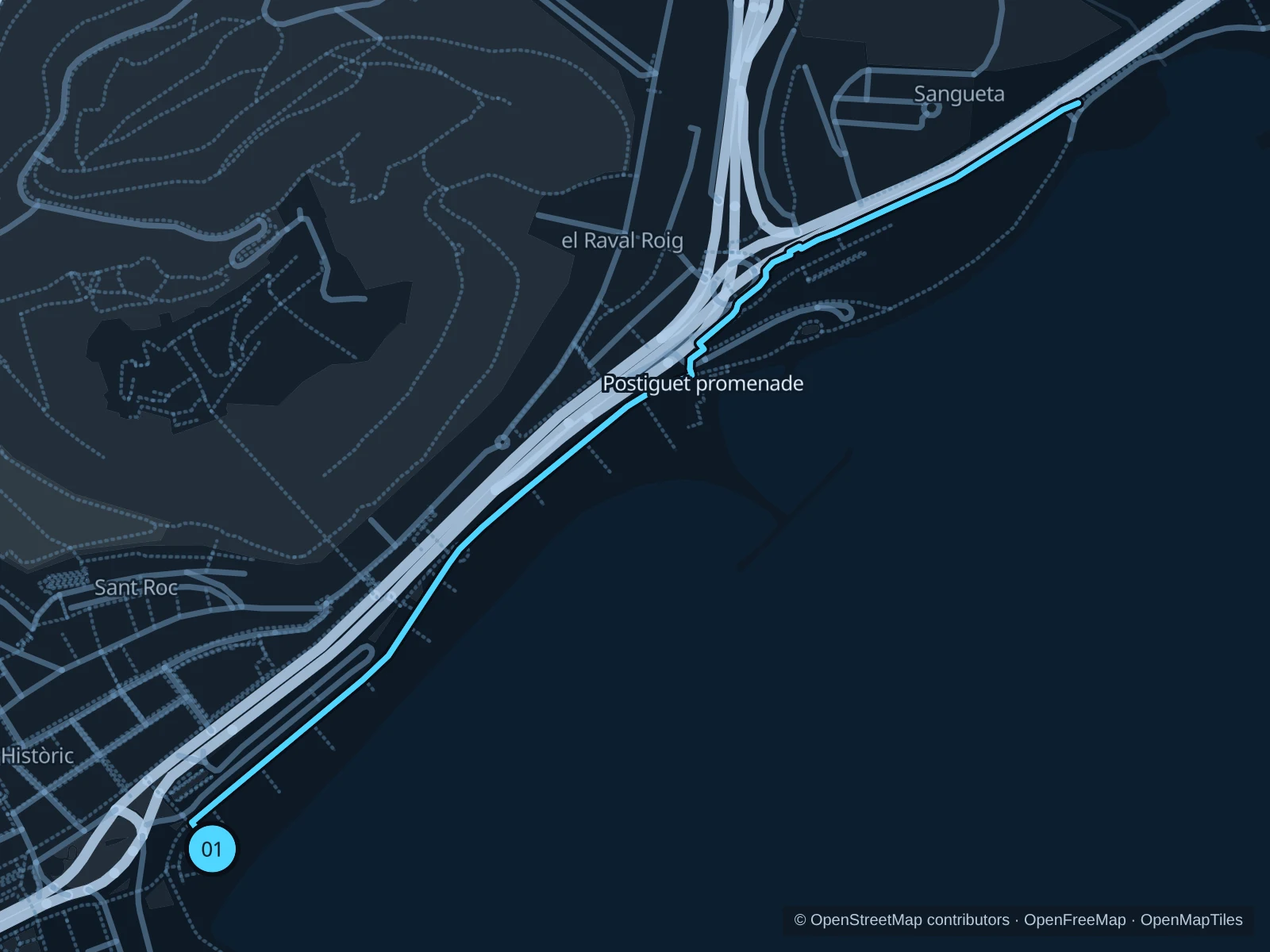
Map of the 2.3 km Postiguet & Paseo de Gómiz run, with start and finish marked 01.
01 Out & backOpen full-size map
Approx. distance2.3 km
Underfoot

Paved paths

01

Start here

Public promenade at Plaza Puerta del Mar, by the Postiguet beach entrance.

Follow the mapped paths toward the northern Postiguet promenade, then return along the same route.

Getting there

Walk from the old town or Explanada to the signed pedestrian crossing at Puerta del Mar.

Before you go

Beach crowds and café terraces keep the pace relaxed here. Stay out of the bike lanes and watch your footing on wet patterned paving. The route includes steps; walk these sections.

Park / route information

Get running directions on your phone
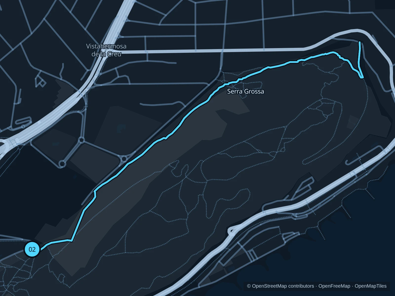
Serra Grossa

A hill run on public tracks with sea views and little shade.

Map of the 3.5 km Serra Grossa run, with start and finish marked 02.
02 Out & backOpen full-size map
Approx. distance3.5 km
Underfoot

Rocky paths and compacted tracks

02

Start here

Public access to the main track from the La Goteta park side.

Follow the mapped public hill tracks to the turnaround marked on the map, then return the same way.

Getting there

Take local transit toward La Goteta and walk to the signed Serra Grossa path entrance.

Before you go

Carry water and go in the cooler hours. Walk steep or loose sections, stay on established tracks and turn back at fire-risk closures. Walk past the chain barrier; pedestrians are allowed through.

Park / route information

Get running directions on your phone

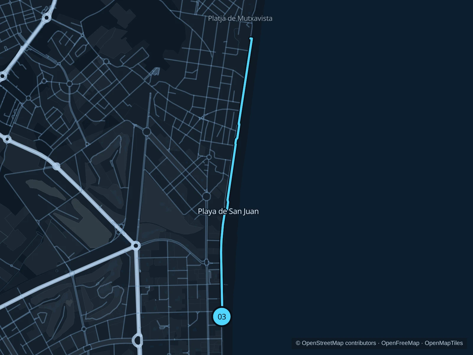
Playa de San Juan promenade

A longer seaside run along the pedestrian promenade beside Avenida de Niza.

Map of the 5.6 km Playa de San Juan promenade run, with start and finish marked 03.
03 Out & backOpen full-size map
Approx. distance5.6 km
Underfoot

Paved paths

03

Start here

Public promenade at the southern Avenida de Niza beach approach.

Follow the mapped paths north along the promenade toward the Muchavista boundary, then return along the same route.

Getting there

Take the tram or a local bus toward the San Juan beach district and walk to the seafront.

Before you go

The route is exposed to sun and wind. Go early in summer and slow down where people cross from the beach or cafés.

Park / route information

Get running directions on your phone

Get running directions on your phone

Choose a distance and start at your hotel. RunFromHere plans a loop back to your door and guides you along it. Download the area’s map before you leave to use it offline.

The app generates its own routes from your chosen start; it doesn’t open the routes in this guide.

More places to run

El Palmeral

A southern palm park for a short easy outing; ornamental bridges and family areas call for a relaxed pace.

Park / route information

Parque Lo Morant

A larger neighborhood green space north of the center with paths around lawns and leisure areas.

Park / route information

Sources & route notes

Researched using the official visitor and park sources below; not checked on foot. Maps and GPX files use the same saved OpenStreetMap pedestrian paths. Distances are approximate. Check local notices for access, gate hours and diversions.

Researched